| Well Information Table |
|---|
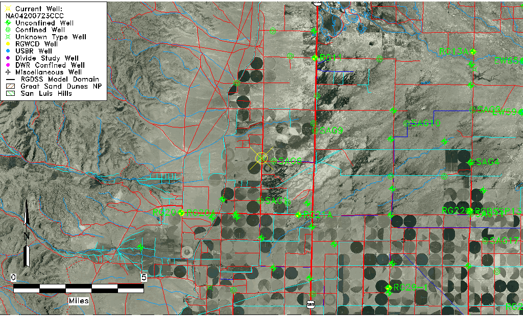
| Common Well ID | NA04200723CCC |
| USGS Well ID | 375155106105501 |
| USGS Station Name | NA04200723CCC |
| USGS Site Type | Well |
| USGS Site Use Information | Withdrawal of Water |
| USGS Groundwater Use Information | Irrigation |
| Data Source(s) | USGS |
| Location Data |
|---|
| TRS | NA04200723CCC |
| USGS TRS 1 | NA04200723CCC |
| USGS TRS | SWSWSWS023T0042NR0007EN |
| Longitude/Latitude (NAD83) | -106.18291630 , 37.86658420 |
| Longitude/Latitude Data Source | GWSI decimal LAT/LONG field |
| USGS Longitude/Latitude (NAD83) | -106.1829163 , 37.86658420 |
| Easting, Northing RGDSS-NAD83 (US ft) | 53163.45 , 317366.90 |
| USGS Topography | Valley flat |
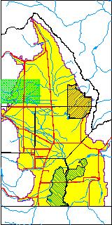
| USGS County | Saguache County |
| Elevation and Depth Data |
|---|
| Ground Elevation (ft NAVD88) | 7645.61000000000 |
| Elevation Data Source | USGS GWSI database |
| USGS Ground Elevation (ft NGVD29) | 7641.00 |
| 1/3-Arc Second NED Ground Elevation (ft NAVD88) | 7646.12 |
| 1-Arc Second NED Ground Elevation (ft NAVD88) | 7645.99 |
| SRTM Ground Elevation (ft NAVD88) | 7657.48 |
| Total Depth (ft) | 130.00 |
| USGS Well Depth (ft) | 130.00 |
| Model Layer | 2 |
| Model Layer Source | Well Depth |
| Depth of Bottom of Layer 1 | 117 |
| Depth of Bottom of Layer 2 | 207 |
| Depth of Bottom of Layer 3 | 325 |
| Depth of Bottom of Layer 4 | 1410 |
| Additional Well Information | Geohydrology, Construction |
| Aquifer Information |
|---|
| Aquifer Type | Confined |
| Aquifer Type Source | TD Elevation/Model Layer |
| USGS Primary Aquifer | Cenozoic Erathem |
| USGS Aquifer Type | Confined Single Aquifer |
| USGS Hydrologic Unit | Saguache |
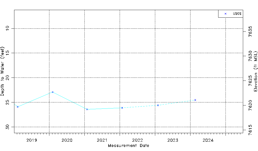
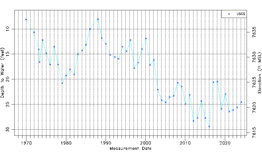
| USGS Data Available | Water-level (GW.LEV) |
| Water-level Database Information |
|---|
| Water-level Count | 54 |
| Water-level Date Range | 12/09/1969 thru 01/30/2023 |
| Monitored within the last 18 months | Yes, most recently on 01/30/2023 |
| Depth-to-Water Range (ft) | 8.03 to 29.40 |
| Water Table Elevation Range (ft NAVD88) | 7616.21 to 7637.58 |
| Water-Level-Source:Number-of-Measurements | USGS:54 |