| Well Information Table |
|---|
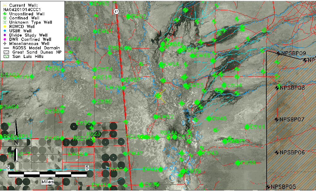
| Common Well ID | NA04201014CCC1 |
| USGS Well ID | 375232105511301 |
| GSDNP Well Name | 375232105511301 |
| USGS Station Name | NA04201014CCC1 |
| USGS Construction Date | 02/10/1978 |
| USGS Site Type | Well |
| USGS Site Use Information | Observation |
| USGS Groundwater Use Information | Unknown |
| Data Source(s) | USGS |
| Location Data |
|---|
| TRS | NA04201014CCC1 |
| USGS TRS 1 | NA04201014CCC1 |
| Longitude/Latitude (NAD83) | -105.85418410 , 37.87555497 |
| Longitude/Latitude Data Source | GWSI decimal LAT/LONG field |
| USGS Longitude/Latitude (NAD83) | -105.8541841 , 37.87555497 |
| Easting, Northing RGDSS-NAD83 (US ft) | 148040.88 , 320272.92 |
| USGS Topography | Valley flat |
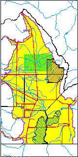
| USGS County | Saguache County |
| USGS Map Name | SHEDS CAMP |
| USGS Map Scale | 24000 |
| Elevation and Depth Data |
|---|
| Ground Elevation (ft NAVD88) | 7534.96000000000 |
| Elevation Data Source | USGS GWSI database |
| USGS Ground Elevation (ft NGVD29) | 7531.10 |
| 1/3-Arc Second NED Ground Elevation (ft NAVD88) | 7538.99 |
| 1-Arc Second NED Ground Elevation (ft NAVD88) | 7538.17 |
| SRTM Ground Elevation (ft NAVD88) | 7535.90 |
| Total Depth (ft) | 173.00 |
| USGS Hole Depth (ft) | 173.00 |
| USGS Well Depth (ft) | 173.00 |
| Model Layer | 2 |
| Model Layer Source | Well Depth |
| Depth of Bottom of Layer 1 | 85 |
| Depth of Bottom of Layer 2 | 236 |
| Depth of Bottom of Layer 3 | 1399 |
| Depth of Bottom of Layer 4 | 4437 |
| Additional Well Information | Logs, Construction |
| Aquifer Information |
|---|
| Aquifer Type | Confined |
| Aquifer Type Source | TD Elevation/Model Layer |
| USGS Hydrologic Unit | San Luis |
| USGS Data Available | Water-level (GW.LEV) |
| Water-level Database Information |
|---|
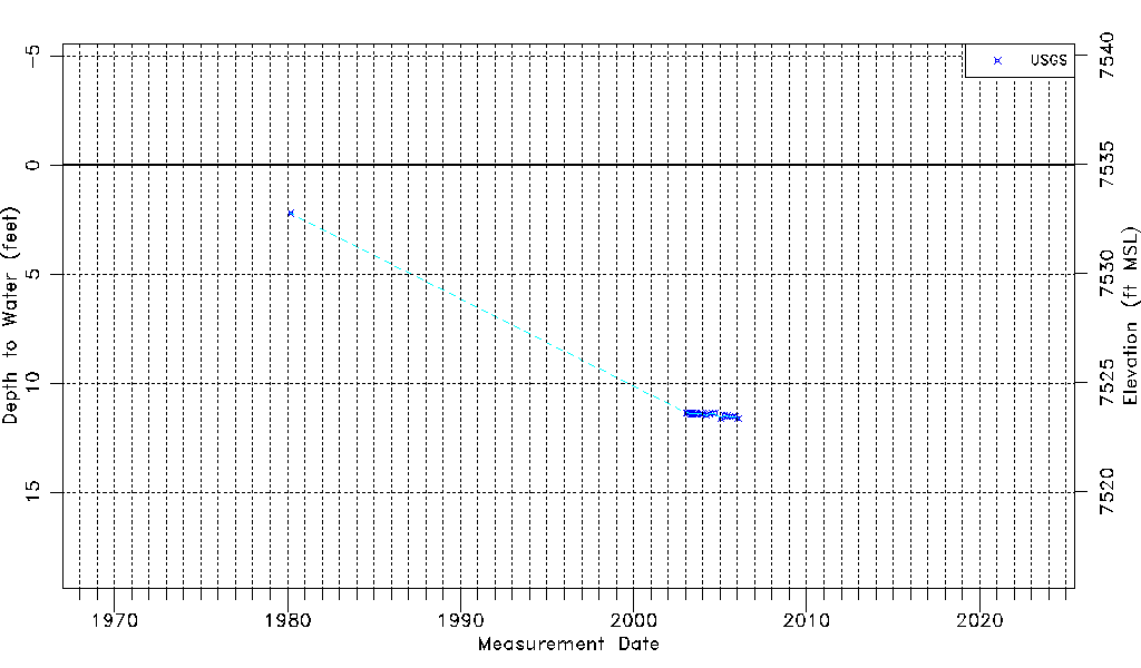
| Water-level Count | 25 |
| Water-level Date Range | 03/06/1980 thru 01/12/2006 |
| Monitored within the last 18 months | No, most recently on 01/12/2006 |
| Depth-to-Water Range (ft) | 2.21 to 11.62 |
| Water Table Elevation Range (ft NAVD88) | 7523.34 to 7532.75 |
| Water-Level-Source:Number-of-Measurements | USGS:25 |