| Well Information Table |
|---|
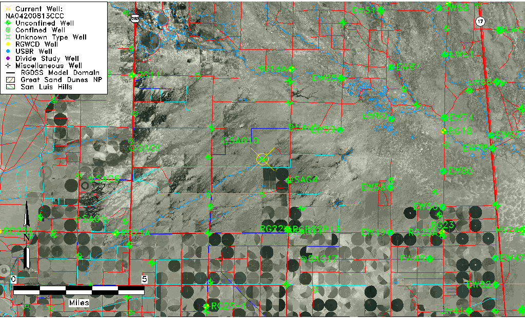
| Common Well ID | NA04200813CCC |
| USGS Well ID | 375235106031501 |
| USGS Station Name | NA04200813CCC |
| USGS Construction Date | 01/01/1951 |
| USGS Site Type | Well |
| USGS Site Use Information | Withdrawal of Water |
| USGS Groundwater Use Information | Irrigation |
| Data Source(s) | USGS |
| Location Data |
|---|
| TRS | NA04200813CCC |
| USGS TRS 1 | NA04200813CCC |
| USGS TRS | SWSWSWS013T0042NR0008EN |
| Longitude/Latitude (NAD83) | -106.05474480 , 37.87638880 |
| Longitude/Latitude Data Source | GWSI decimal LAT/LONG field |
| USGS Longitude/Latitude (NAD83) | -106.0547448 , 37.87638880 |
| Easting, Northing RGDSS-NAD83 (US ft) | 90168.72 , 320756.23 |
| USGS Topography | Valley flat |
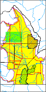
| USGS County | Saguache County |
| Elevation and Depth Data |
|---|
| Ground Elevation (ft NAVD88) | 7576.23000000000 |
| Elevation Data Source | USGS GWSI database |
| USGS Ground Elevation (ft NGVD29) | 7572.00 |
| 1/3-Arc Second NED Ground Elevation (ft NAVD88) | 7575.77 |
| 1-Arc Second NED Ground Elevation (ft NAVD88) | 7576.41 |
| SRTM Ground Elevation (ft NAVD88) | 7585.83 |
| Total Depth (ft) | 90.00 |
| USGS Well Depth (ft) | 90.00 |
| Model Layer | 1 |
| Model Layer Source | Well Depth |
| Depth of Bottom of Layer 1 | 94 |
| Depth of Bottom of Layer 2 | 168 |
| Depth of Bottom of Layer 3 | 520 |
| Depth of Bottom of Layer 4 | 2322 |
| Additional Well Information | Geohydrology, Construction |
| Aquifer Information |
|---|
| Aquifer Type | Unconfined |
| Aquifer Type Source | TD Elevation/Model Layer |
| USGS Primary Aquifer | Cenozoic Erathem |
| USGS Hydrologic Unit | Saguache |
| USGS Data Available | Water-level (GW.LEV) |
| Water-level Database Information |
|---|
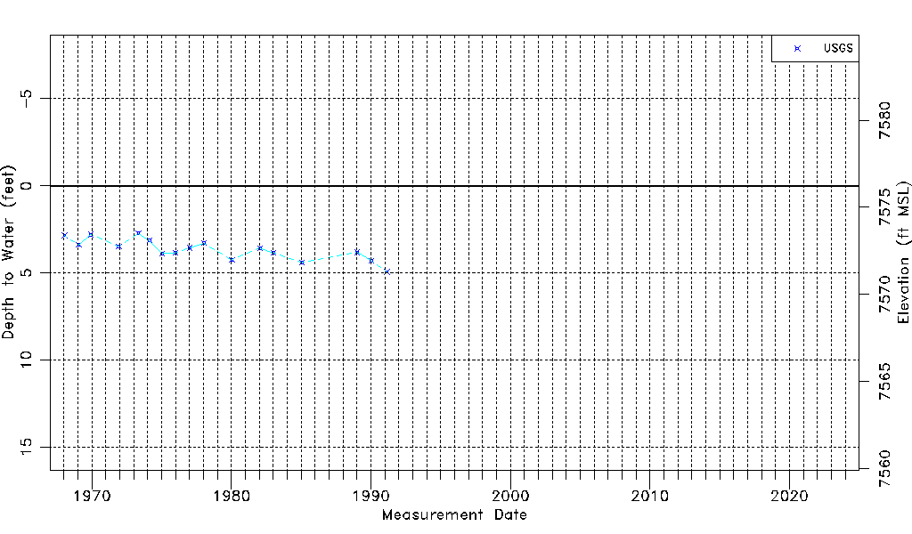
| Water-level Count | 17 |
| Water-level Date Range | 01/16/1968 thru 02/26/1991 |
| Monitored within the last 18 months | No, most recently on 02/26/1991 |
| Depth-to-Water Range (ft) | 2.72 to 4.93 |
| Water Table Elevation Range (ft NAVD88) | 7571.30 to 7573.51 |
| Water-Level-Source:Number-of-Measurements | USGS:17 |