| Well Information Table |
|---|
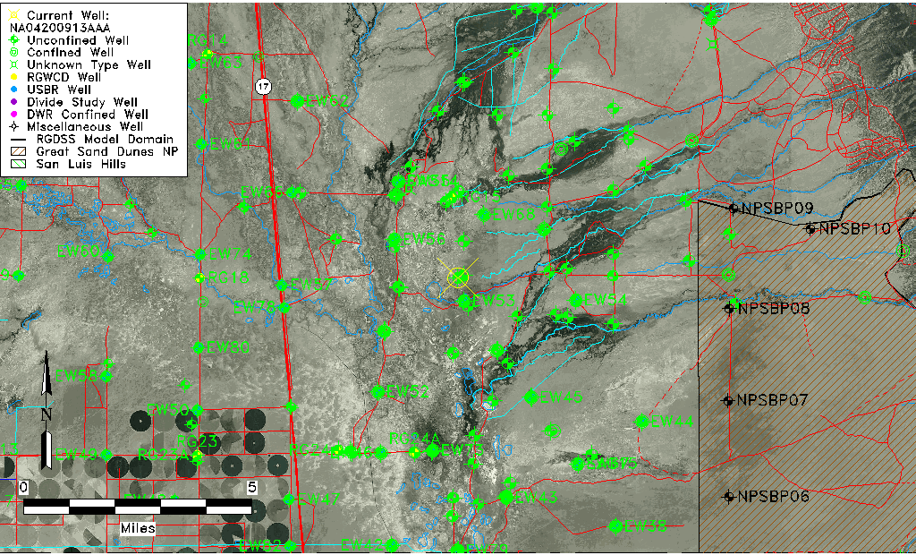
| Common Well ID | NA04200913AAA |
| USGS Well ID | 375333105492701 |
| GSDNP Well Name | 375333105492701 |
| USGS Station Name | NA04200913AAA |
| USGS Site Type | Well |
| USGS Site Use Information | Destroyed |
| USGS Groundwater Use Information | Unused |
| Data Source(s) | USGS |
| Location Data |
|---|
| TRS | NA04200913AAA |
| USGS TRS 1 | NA04200913AAA |
| USGS TRS | NENENES013T0042NR0009EN |
| Longitude/Latitude (NAD83) | -105.82473860 , 37.89249935 |
| Longitude/Latitude Data Source | GWSI decimal LAT/LONG field |
| USGS Longitude/Latitude (NAD83) | -105.8247386 , 37.89249935 |
| Easting, Northing RGDSS-NAD83 (US ft) | 156548.07 , 326425.29 |
| USGS Topography | Valley flat |
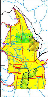
| USGS County | Saguache County |
| Elevation and Depth Data |
|---|
| Ground Elevation (ft NAVD88) | 7542.97000000000 |
| Elevation Data Source | USGS GWSI database |
| USGS Ground Elevation (ft NGVD29) | 7539.00 |
| 1/3-Arc Second NED Ground Elevation (ft NAVD88) | 7543.82 |
| 1-Arc Second NED Ground Elevation (ft NAVD88) | 7540.95 |
| SRTM Ground Elevation (ft NAVD88) | 7558.87 |
| Total Depth (ft) | 7.00 |
| USGS Well Depth (ft) | 7.00 |
| Model Layer | 1 |
| Model Layer Source | Well Depth |
| Depth of Bottom of Layer 1 | 122 |
| Depth of Bottom of Layer 2 | 312 |
| Depth of Bottom of Layer 3 | 1594 |
| Depth of Bottom of Layer 4 | 4816 |
| Additional Well Information | Geohydrology, Construction |
| Aquifer Information |
|---|
| Aquifer Type | Unconfined |
| Aquifer Type Source | TD Elevation/Model Layer |
| USGS Primary Aquifer | Cenozoic Erathem |
| USGS Hydrologic Unit | San Luis |
| USGS Data Available | Water-level (GW.LEV) |
| Water-level Database Information |
|---|
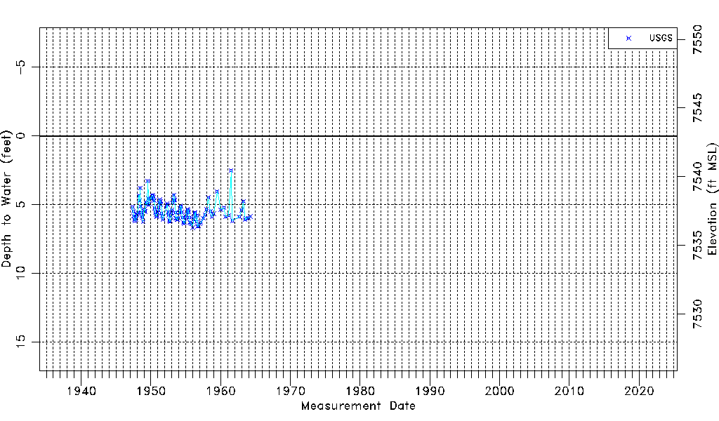
| Water-level Count | 127 |
| Water-level Date Range | 05/20/1947 thru 04/02/1964 |
| Monitored within the last 18 months | No, most recently on 04/02/1964 |
| Depth-to-Water Range (ft) | 2.52 to 6.68 |
| Water Table Elevation Range (ft NAVD88) | 7536.29 to 7540.45 |
| Water-Level-Source:Number-of-Measurements | USGSaguache Creek:127 |