| Well Information Table |
|---|
| Common Well ID | NA04201004DDD3 |
| USGS Well ID | 375417105522501 |
| GSDNP Well Name | 375417105522501 |
| USGS Station Name | NA04201004DDD3 |
| USGS Site Type | Well |
| USGS Site Use Information | Observation |
| USGS Groundwater Use Information | Unused |
| Data Source(s) | USGS |
| Location Data |
|---|
| TRS | NA04201004DDD3 |
| USGS TRS 1 | NA04201004DDD3 |
| Longitude/Latitude (NAD83) | -105.87366670 , 37.90472220 |
| Longitude/Latitude Data Source | GWSI decimal LAT/LONG field |
| USGS Longitude/Latitude (NAD83) | -105.8736667 , 37.90472220 |
| Easting, Northing RGDSS-NAD83 (US ft) | 142442.91 , 330902.79 |
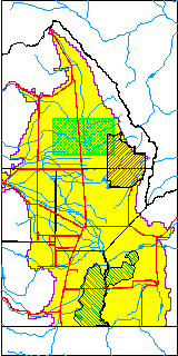
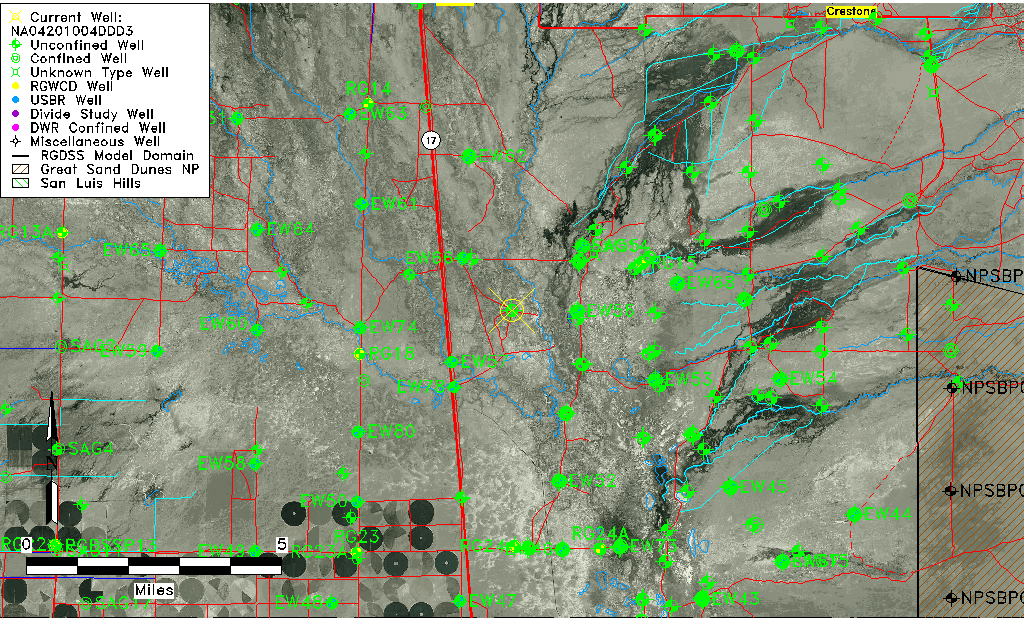
| USGS County | Saguache County |
| Elevation and Depth Data |
|---|
| Ground Elevation (ft NAVD88) | 7547.83000000000 |
| Elevation Data Source | USGS GWSI database |
| USGS Ground Elevation (ft NGVD29) | 7544.00 |
| 1/3-Arc Second NED Ground Elevation (ft NAVD88) | 7544.10 |
| 1-Arc Second NED Ground Elevation (ft NAVD88) | 7542.49 |
| SRTM Ground Elevation (ft NAVD88) | 7545.93 |
| Total Depth (ft) | 18.50 |
| USGS Well Depth (ft) | 18.50 |
| Model Layer | 1 |
| Model Layer Source | Well Depth |
| Depth of Bottom of Layer 1 | 83 |
| Depth of Bottom of Layer 2 | 201 |
| Depth of Bottom of Layer 3 | 1187 |
| Depth of Bottom of Layer 4 | 4326 |
| Additional Well Information | NONE |
| Aquifer Information |
|---|
| Aquifer Type | Unconfined |
| Aquifer Type Source | TD Elevation/Model Layer |
| USGS Aquifer Type | Unconfined Single Aquifer |
| USGS Hydrologic Unit | San Luis |
| USGS Data Available | Discharge (GW.DISC) |
| Water-level Database Information |
|---|
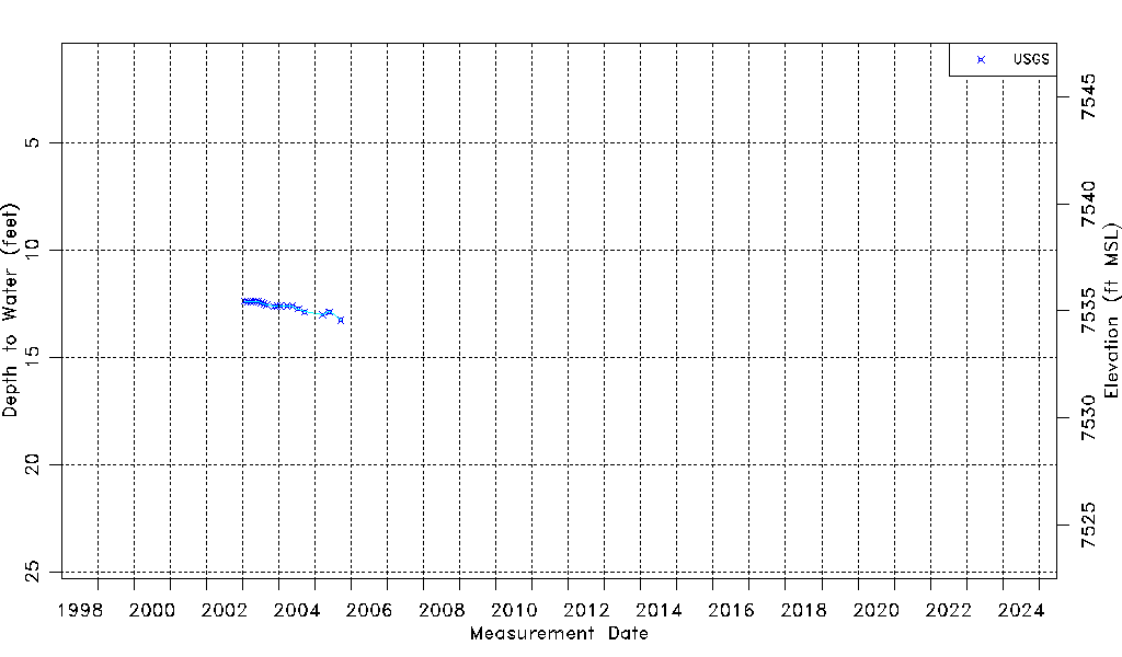
| Water-level Count | 20 |
| Water-level Date Range | 01/24/2003 thru 09/21/2005 |
| Monitored within the last 18 months | No, most recently on 09/21/2005 |
| Depth-to-Water Range (ft) | 12.38 to 13.26 |
| Water Table Elevation Range (ft NAVD88) | 7534.57 to 7535.45 |
| Water-Level-Source:Number-of-Measurements | USGSaguache Creek:20 |