| Well Information Table |
|---|
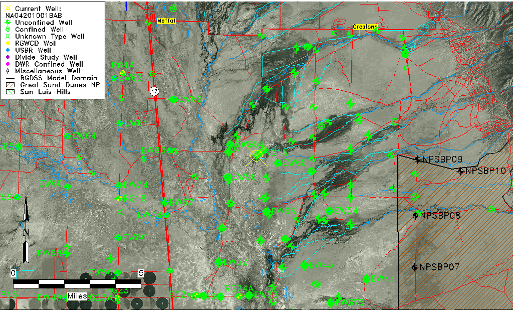
| Common Well ID | NA04201001BAB |
| USGS Well ID | 375500105494501 |
| GSDNP Well Name | 375500105494501 |
| USGS Station Name | NA04201001BAB |
| USGS Construction Date | 01/01/1967 |
| USGS Site Type | Well |
| USGS Site Use Information | Observation |
| USGS Groundwater Use Information | Unused |
| Data Source(s) | USGS |
| Location Data |
|---|
| TRS | NA04201001BAB |
| USGS TRS 1 | NA04201001BAB |
| USGS TRS | NWNENWS001T0042NR0010EN |
| Longitude/Latitude (NAD83) | -105.82973810 , 37.91666597 |
| Longitude/Latitude Data Source | GWSI decimal LAT/LONG field |
| USGS Longitude/Latitude (NAD83) | -105.8297381 , 37.91666597 |
| Easting, Northing RGDSS-NAD83 (US ft) | 155121.40 , 335225.25 |
| USGS Topography | Valley flat |
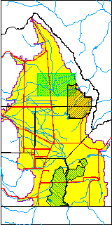
| USGS County | Saguache County |
| Elevation and Depth Data |
|---|
| Ground Elevation (ft NAVD88) | 7550.00000000000 |
| Elevation Data Source | USGS GWSI database |
| USGS Ground Elevation (ft NGVD29) | 7546.00 |
| 1/3-Arc Second NED Ground Elevation (ft NAVD88) | 7548.86 |
| 1-Arc Second NED Ground Elevation (ft NAVD88) | 7546.43 |
| SRTM Ground Elevation (ft NAVD88) | 7559.05 |
| Total Depth (ft) | 21.00 |
| USGS Well Depth (ft) | 21.00 |
| Model Layer | 1 |
| Model Layer Source | Well Depth |
| Depth of Bottom of Layer 1 | 131 |
| Depth of Bottom of Layer 2 | 306 |
| Depth of Bottom of Layer 3 | 1561 |
| Depth of Bottom of Layer 4 | 4897 |
| Additional Well Information | Geohydrology, Construction |
| Aquifer Information |
|---|
| Aquifer Type | Unconfined |
| Aquifer Type Source | TD Elevation/Model Layer |
| USGS Primary Aquifer | Cenozoic Erathem |
| USGS Hydrologic Unit | San Luis |
| USGS Data Available | Water-level (GW.LEV) |
| Water-level Database Information |
|---|
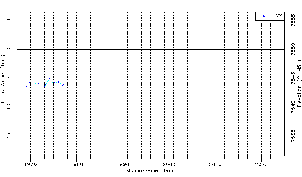
| Water-level Count | 10 |
| Water-level Date Range | 01/16/1968 thru 01/11/1977 |
| Monitored within the last 18 months | No, most recently on 01/11/1977 |
| Depth-to-Water Range (ft) | 5.14 to 6.81 |
| Water Table Elevation Range (ft NAVD88) | 7543.19 to 7544.86 |
| Water-Level-Source:Number-of-Measurements | USGSaguache Creek:10 |