| Well Information Table |
|---|
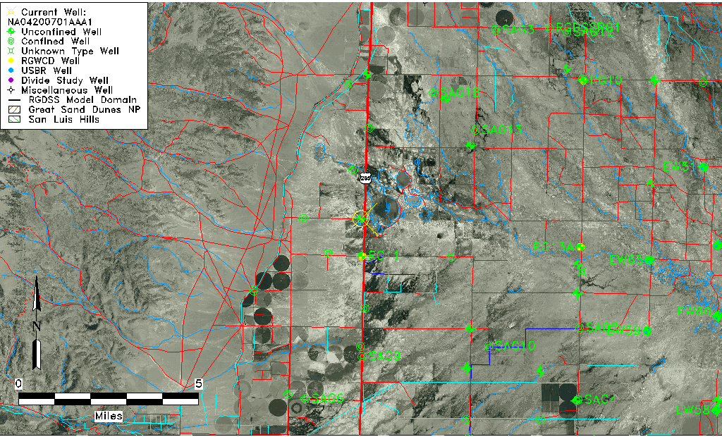
| Common Well ID | NA04200701AAA1 |
| USGS Well ID | 375615106084508 |
| USGS Station Name | NA04200701AAA1 |
| USGS Construction Date | 07/18/1978 |
| USGS Site Type | Well |
| USGS Site Use Information | Observation |
| USGS Groundwater Use Information | Unused |
| Data Source(s) | USGS |
| Location Data |
|---|
| TRS | NA04200701AAA1 |
| USGS TRS 1 | NA04200701AAA1 |
| Longitude/Latitude (NAD83) | -106.14641380 , 37.93750035 |
| Longitude/Latitude Data Source | GWSI decimal LAT/LONG field |
| USGS Longitude/Latitude (NAD83) | -106.1464138 , 37.93750035 |
| Easting, Northing RGDSS-NAD83 (US ft) | 63831.65 , 343127.49 |
| USGS Topography | Undulating |
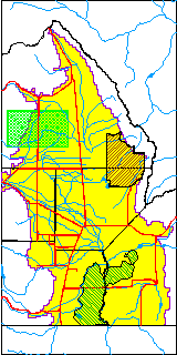
| USGS County | Saguache County |
| USGS Map Name | SWEDE CORNER |
| USGS Map Scale | 24000 |
| Elevation and Depth Data |
|---|
| Ground Elevation (ft NAVD88) | 7594.47000000000 |
| Elevation Data Source | USGS GWSI database |
| USGS Ground Elevation (ft NGVD29) | 7590.00 |
| 1/3-Arc Second NED Ground Elevation (ft NAVD88) | 7590.20 |
| 1-Arc Second NED Ground Elevation (ft NAVD88) | 7590.20 |
| SRTM Ground Elevation (ft NAVD88) | 7601.71 |
| Total Depth (ft) | 40.00 |
| USGS Hole Depth (ft) | 40.00 |
| USGS Well Depth (ft) | 40.00 |
| Model Layer | 1 |
| Model Layer Source | Well Depth |
| Depth of Bottom of Layer 1 | 47 |
| Depth of Bottom of Layer 2 | 174 |
| Depth of Bottom of Layer 3 | 396 |
| Depth of Bottom of Layer 4 | 1518 |
| Additional Well Information | NONE |
| Aquifer Information |
|---|
| Aquifer Type | Unconfined |
| Aquifer Type Source | TD Elevation/Model Layer |
| USGS Hydrologic Unit | Saguache |
| USGS Data Available | Water-level (GW.LEV) |
| Water-level Database Information |
|---|
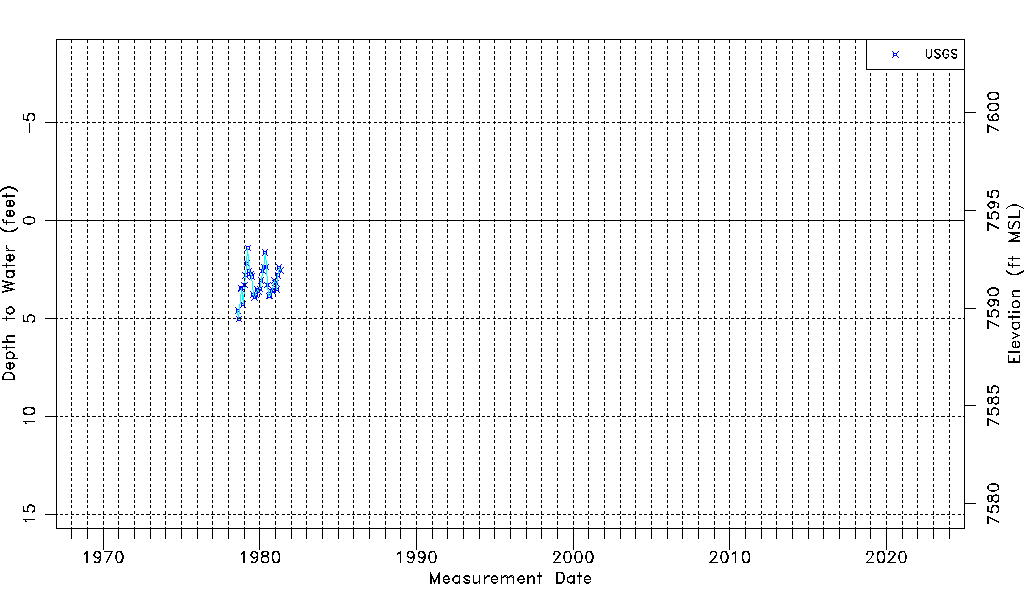
| Water-level Count | 34 |
| Water-level Date Range | 08/10/1978 thru 05/01/1981 |
| Monitored within the last 18 months | No, most recently on 05/01/1981 |
| Depth-to-Water Range (ft) | 1.42 to 5.04 |
| Water Table Elevation Range (ft NAVD88) | 7589.43 to 7593.05 |
| Water-Level-Source:Number-of-Measurements | USGS:34 |