| Well Information Table |
|---|
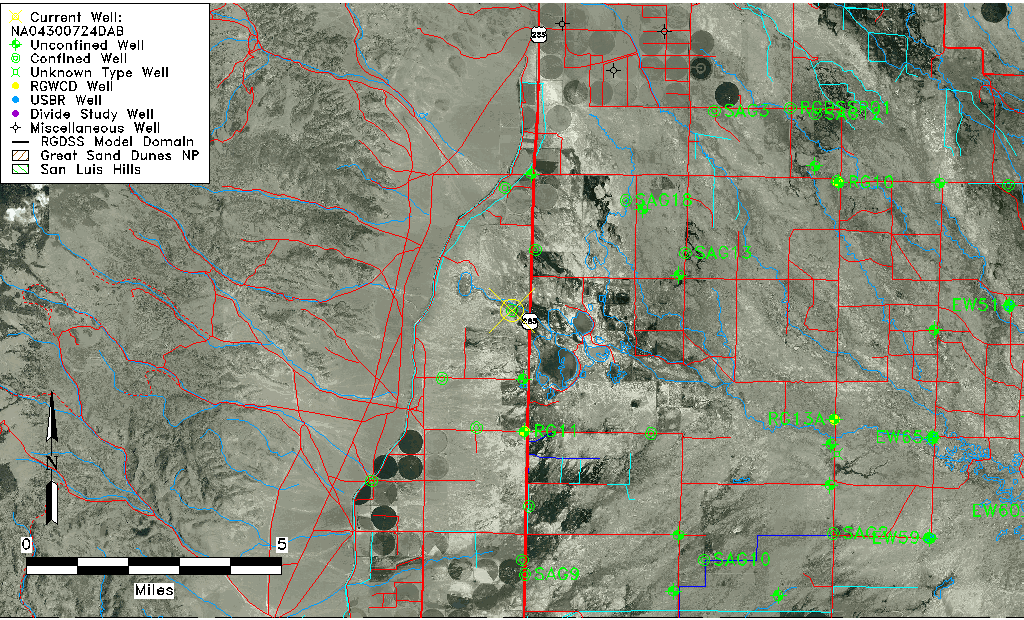
| Common Well ID | NA04300724DAB |
| USGS Well ID | 375725106090001 |
| USGS Station Name | NA04300724DAB |
| USGS Construction Date | 01/01/1967 |
| USGS Site Type | Well |
| USGS Site Use Information | Withdrawal of Water |
| USGS Groundwater Use Information | Irrigation |
| Data Source(s) | USGS |
| Location Data |
|---|
| TRS | NA04300724DAB |
| USGS TRS 1 | NA04300724DAB |
| USGS TRS | NWNESES024T0043NR0007EN |
| Longitude/Latitude (NAD83) | -106.15058030 , 37.95694475 |
| Longitude/Latitude Data Source | GWSI decimal LAT/LONG field |
| USGS Longitude/Latitude (NAD83) | -106.1505803 , 37.95694475 |
| Easting, Northing RGDSS-NAD83 (US ft) | 62667.35 , 350212.53 |
| USGS Topography | Valley flat |
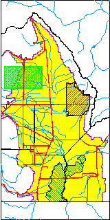
| USGS County | Saguache County |
| Elevation and Depth Data |
|---|
| Ground Elevation (ft NAVD88) | 7594.48000000000 |
| Elevation Data Source | USGS GWSI database |
| USGS Ground Elevation (ft NGVD29) | 7590.00 |
| 1/3-Arc Second NED Ground Elevation (ft NAVD88) | 7592.88 |
| 1-Arc Second NED Ground Elevation (ft NAVD88) | 7593.13 |
| SRTM Ground Elevation (ft NAVD88) | 7595.14 |
| Total Depth (ft) | 528.00 |
| USGS Well Depth (ft) | 528.00 |
| Model Layer | 4 |
| Model Layer Source | Well Depth |
| Depth of Bottom of Layer 1 | 36 |
| Depth of Bottom of Layer 2 | 182 |
| Depth of Bottom of Layer 3 | 354 |
| Depth of Bottom of Layer 4 | 1242 |
| Additional Well Information | Geohydrology, Construction |
| Aquifer Information |
|---|
| Aquifer Type | Confined |
| Aquifer Type Source | TD Elevation/Model Layer |
| USGS Primary Aquifer | Cenozoic Erathem |
| USGS Hydrologic Unit | Saguache |
| USGS Data Available | Water-level (GW.LEV) |
| Water-level Database Information |
|---|
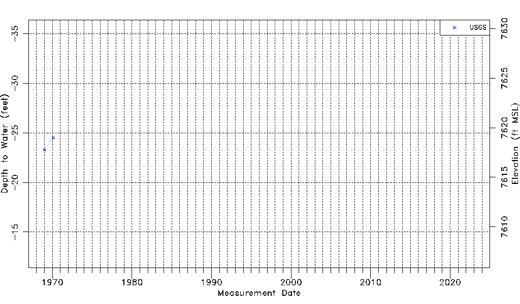
| Water-level Count | 2 |
| Water-level Date Range | 01/20/1969 thru 02/17/1970 |
| Monitored within the last 18 months | No, most recently on 02/17/1970 |
| Depth-to-Water Range (ft) | -24.50 to -23.30 |
| Water Table Elevation Range (ft NAVD88) | 7617.78 to 7618.98 |
| Water-Level-Source:Number-of-Measurements | USGS:2 |