| Well Information Table |
|---|
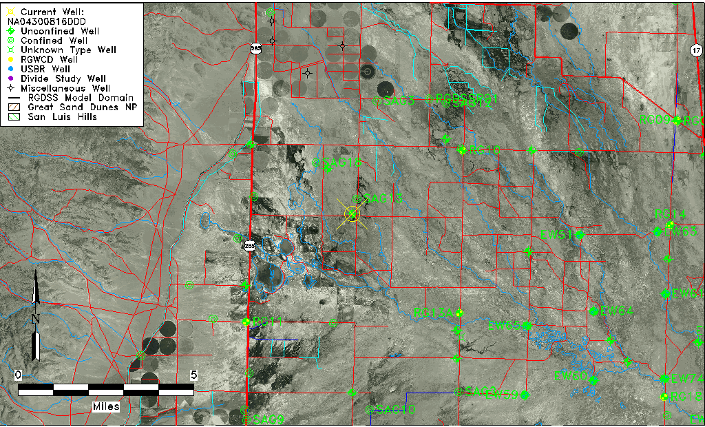
| Common Well ID | NA04300816DDD |
| USGS Well ID | 375754106053001 |
| USGS Station Name | NA04300816DDD |
| USGS Construction Date | 01/01/1950 |
| USGS Site Type | Well |
| USGS Site Use Information | Observation |
| USGS Groundwater Use Information | Unused |
| Data Source(s) | USGS |
| Location Data |
|---|
| TRS | NA04300816DDD |
| USGS TRS 1 | NA04300816DDD |
| USGS TRS | SESESES016T0043NR0008EN |
| Longitude/Latitude (NAD83) | -106.09085550 , 37.96722218 |
| Longitude/Latitude Data Source | GWSI decimal LAT/LONG field |
| USGS Longitude/Latitude (NAD83) | -106.0908555 , 37.96722218 |
| Easting, Northing RGDSS-NAD83 (US ft) | 79900.06 , 353869.50 |
| USGS Topography | Valley flat |
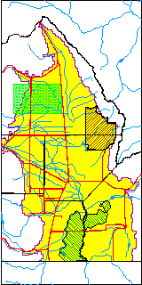
| USGS County | Saguache County |
| USGS Map Name | HARRENCE LAKE |
| USGS Map Scale | 24000 |
| Elevation and Depth Data |
|---|
| Ground Elevation (ft NAVD88) | 7586.33000000000 |
| Elevation Data Source | USGS GWSI database |
| USGS Ground Elevation (ft NGVD29) | 7582.00 |
| 1/3-Arc Second NED Ground Elevation (ft NAVD88) | 7586.28 |
| 1-Arc Second NED Ground Elevation (ft NAVD88) | 7586.25 |
| SRTM Ground Elevation (ft NAVD88) | 7601.71 |
| Total Depth (ft) | 9.00 |
| USGS Well Depth (ft) | 9.00 |
| Model Layer | 1 |
| Model Layer Source | Well Depth |
| Depth of Bottom of Layer 1 | 68 |
| Depth of Bottom of Layer 2 | 209 |
| Depth of Bottom of Layer 3 | 592 |
| Depth of Bottom of Layer 4 | 1849 |
| Additional Well Information | Geohydrology, Construction |
| Aquifer Information |
|---|
| Aquifer Type | Unconfined |
| Aquifer Type Source | TD Elevation/Model Layer |
| USGS Primary Aquifer | Cenozoic Erathem |
| USGS Hydrologic Unit | Saguache |
| USGS Data Available | Water-level (GW.LEV) |
| Water-level Database Information |
|---|
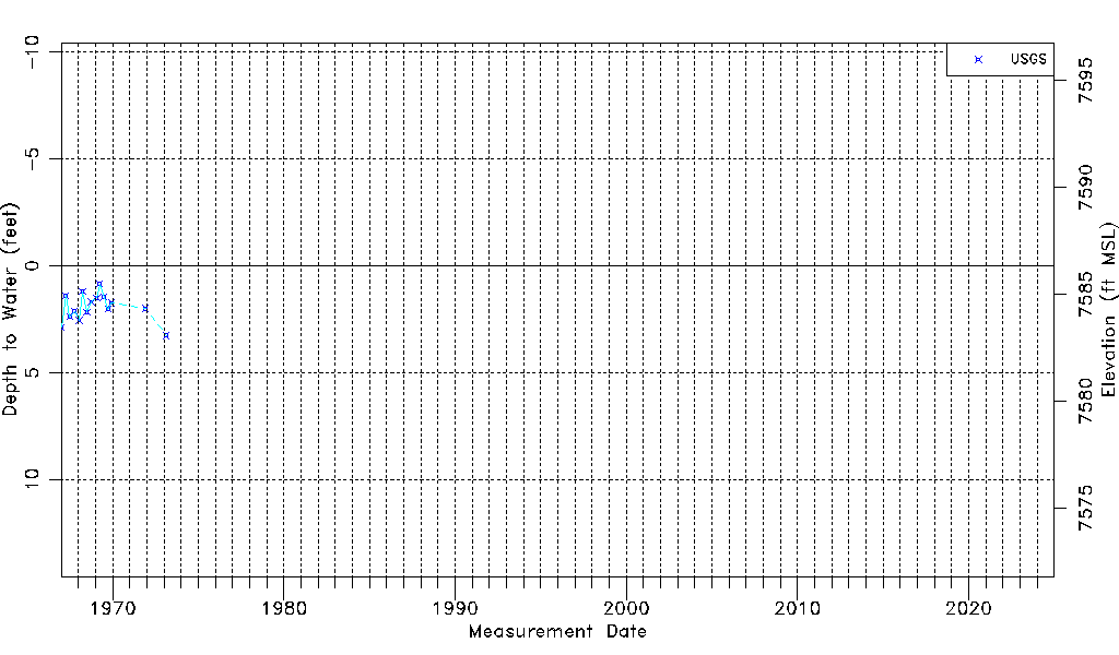
| Water-level Count | 15 |
| Water-level Date Range | 01/04/1967 thru 02/19/1973 |
| Monitored within the last 18 months | No, most recently on 02/19/1973 |
| Depth-to-Water Range (ft) | 0.85 to 3.26 |
| Water Table Elevation Range (ft NAVD88) | 7583.07 to 7585.48 |
| Water-Level-Source:Number-of-Measurements | USGSaguache Creek:15 |