| Well Information Table |
|---|
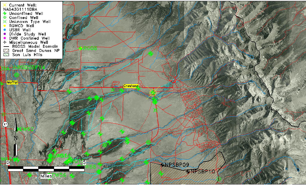
| Common Well ID | NA04301111DBA |
| USGS Well ID | 375900105433001 |
| GSDNP Well Name | 375900105433001 |
| USGS Station Name | NA04301111DBA |
| USGS Construction Date | 01/01/1952 |
| USGS Site Type | Well |
| USGS Site Use Information | Withdrawal of Water |
| USGS Groundwater Use Information | Irrigation |
| Data Source(s) | USGS |
| Location Data |
|---|
| TRS | NA04301111DBA |
| USGS TRS 1 | NA04301111DBA |
| USGS TRS | NENWSES011T0043NR0011EN |
| Longitude/Latitude (NAD83) | -105.72556750 , 37.98333245 |
| Longitude/Latitude Data Source | GWSI decimal LAT/LONG field |
| USGS Longitude/Latitude (NAD83) | -105.7255675 , 37.98333245 |
| Easting, Northing RGDSS-NAD83 (US ft) | 185179.37 , 359457.25 |
| USGS Topography | Valley flat |
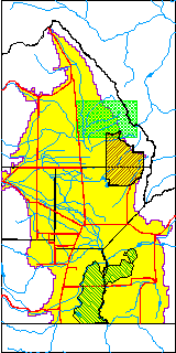
| USGS County | Saguache County |
| Elevation and Depth Data |
|---|
| Ground Elevation (ft NAVD88) | 7700.29000000000 |
| Elevation Data Source | USGS GWSI database |
| USGS Ground Elevation (ft NGVD29) | 7696.00 |
| 1/3-Arc Second NED Ground Elevation (ft NAVD88) | 7701.00 |
| 1-Arc Second NED Ground Elevation (ft NAVD88) | 7698.84 |
| SRTM Ground Elevation (ft NAVD88) | 7697.00 |
| Total Depth (ft) | 223.00 |
| USGS Well Depth (ft) | 223.00 |
| Model Layer | 1 |
| Model Layer Source | Well Depth |
| Depth of Bottom of Layer 1 | 243 |
| Depth of Bottom of Layer 2 | 487 |
| Depth of Bottom of Layer 3 | 1068 |
| Depth of Bottom of Layer 4 | 2052 |
| Additional Well Information | Geohydrology, Construction |
| Aquifer Information |
|---|
| Aquifer Type | Unconfined |
| Aquifer Type Source | TD Elevation/Model Layer |
| USGS Primary Aquifer | Cenozoic Erathem |
| USGS Hydrologic Unit | San Luis |
| USGS Data Available | Water-level (GW.LEV) |
| Water-level Database Information |
|---|
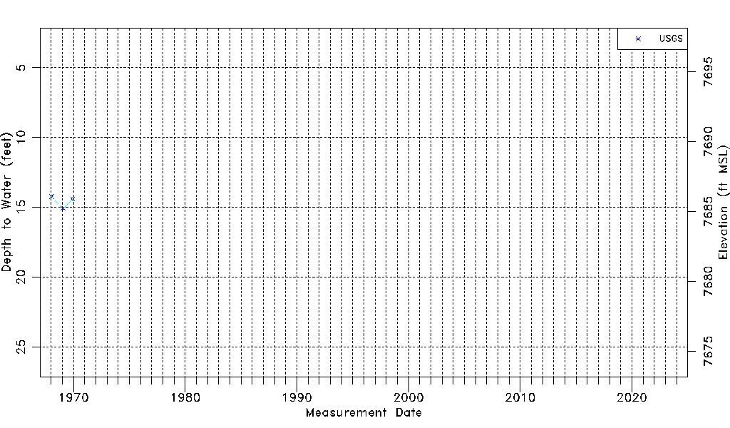
| Water-level Count | 3 |
| Water-level Date Range | 01/16/1968 thru 12/03/1969 |
| Monitored within the last 18 months | No, most recently on 12/03/1969 |
| Depth-to-Water Range (ft) | 14.22 to 15.08 |
| Water Table Elevation Range (ft NAVD88) | 7685.21 to 7686.07 |
| Water-Level-Source:Number-of-Measurements | USGSaguache Creek:3 |