| Well Information Table |
|---|
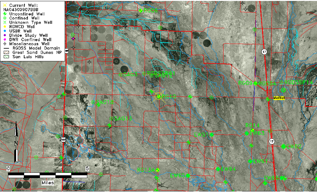
| Common Well ID | NA04300907BBB |
| USGS Well ID | 375939106020101 |
| USGS Station Name | NA04300907BBB |
| USGS Site Type | Well |
| USGS Site Use Information | Withdrawal of Water |
| USGS Groundwater Use Information | Unknown |
| Data Source(s) | USGS |
| Location Data |
|---|
| TRS | NA04300907BBB |
| USGS TRS 1 | NA04300907BBB |
| USGS TRS | NENES12 T43N R08E N |
| Longitude/Latitude (NAD83) | -106.03418590 , 37.99416630 |
| Longitude/Latitude Data Source | GWSI decimal LAT/LONG field |
| USGS Longitude/Latitude (NAD83) | -106.0341859 , 37.99416630 |
| Easting, Northing RGDSS-NAD83 (US ft) | 96271.62 , 363608.44 |
| USGS Topography | Valley flat |
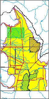
| USGS County | Saguache County |
| USGS Map Name | HARRENCE LAKE, CO |
| USGS Map Scale | 24000 |
| Elevation and Depth Data |
|---|
| Ground Elevation (ft NAVD88) | 7584.00000000000 |
| Elevation Data Source | USGS GWSI database |
| USGS Ground Elevation (ft NAVD88) | 7584.00 |
| 1/3-Arc Second NED Ground Elevation (ft NAVD88) | 7583.69 |
| 1-Arc Second NED Ground Elevation (ft NAVD88) | 7583.86 |
| SRTM Ground Elevation (ft NAVD88) | 7595.37 |
| Total Depth (ft) | 700.00 |
| USGS Well Depth (ft) | 700.00 |
| Model Layer | 3 |
| Model Layer Source | Well Depth |
| Depth of Bottom of Layer 1 | 97 |
| Depth of Bottom of Layer 2 | 206 |
| Depth of Bottom of Layer 3 | 671 |
| Depth of Bottom of Layer 4 | 2143 |
| Additional Well Information | Geohydrology |
| Aquifer Information |
|---|
| Aquifer Type | Confined |
| Aquifer Type Source | TD Elevation/Model Layer |
| USGS Primary Aquifer | Quaternary System |
| USGS Aquifer Type | Unconfined Single Aquifer |
| USGS Hydrologic Unit | Saguache |
| USGS Data Available | Water-level (GW.LEV) |
| Water-level Database Information |
|---|
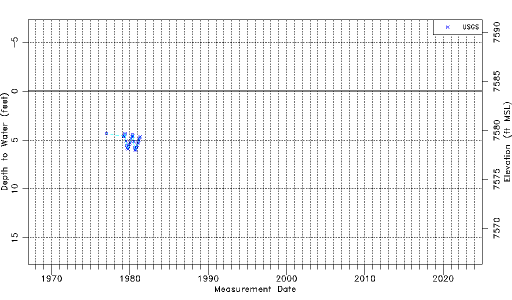
| Water-level Count | 28 |
| Water-level Date Range | 01/11/1977 thru 05/01/1981 |
| Monitored within the last 18 months | No, most recently on 05/01/1981 |
| Depth-to-Water Range (ft) | 4.33 to 6.04 |
| Water Table Elevation Range (ft NAVD88) | 7577.96 to 7579.67 |
| Water-Level-Source:Number-of-Measurements | USGS:28 |