| Well Information Table |
|---|
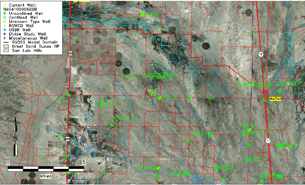
| Common Well ID | NA04100906BBB |
| USGS Well ID | 375954106023001 |
| USGS Station Name | NA04100906BBB |
| USGS Construction Date | 01/01/1948 |
| USGS Site Type | Well |
| USGS Site Use Information | Observation |
| USGS Groundwater Use Information | Unused |
| Data Source(s) | USGS |
| Location Data |
|---|
| TRS | NA04100906BBB |
| USGS TRS 1 | NA04100906BBB |
| USGS TRS | NWNWNWS006T0041NR0009EN |
| Longitude/Latitude (NAD83) | -106.04224170 , 37.99833300 |
| Longitude/Latitude Data Source | GWSI decimal LAT/LONG field |
| USGS Longitude/Latitude (NAD83) | -106.0422417 , 37.99833300 |
| Easting, Northing RGDSS-NAD83 (US ft) | 93956.94 , 365134.68 |
| USGS Topography | Valley flat |
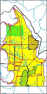
| USGS County | Saguache County |
| Elevation and Depth Data |
|---|
| Ground Elevation (ft NAVD88) | 7581.22000000000 |
| Elevation Data Source | USGS GWSI database |
| USGS Ground Elevation (ft NGVD29) | 7577.00 |
| 1/3-Arc Second NED Ground Elevation (ft NAVD88) | 7587.92 |
| 1-Arc Second NED Ground Elevation (ft NAVD88) | 7588.18 |
| SRTM Ground Elevation (ft NAVD88) | 7594.91 |
| Total Depth (ft) | 9.00 |
| USGS Well Depth (ft) | 9.00 |
| Model Layer | 1 |
| Model Layer Source | Well Depth |
| Depth of Bottom of Layer 1 | 86 |
| Depth of Bottom of Layer 2 | 188 |
| Depth of Bottom of Layer 3 | 655 |
| Depth of Bottom of Layer 4 | 2033 |
| Additional Well Information | Geohydrology, Construction |
| Aquifer Information |
|---|
| Aquifer Type | Unconfined |
| Aquifer Type Source | TD Elevation/Model Layer |
| USGS Primary Aquifer | Cenozoic Erathem |
| USGS Hydrologic Unit | Saguache |
| USGS Data Available | Water-level (GW.LEV) |
| Water-level Database Information |
|---|
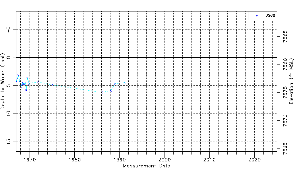
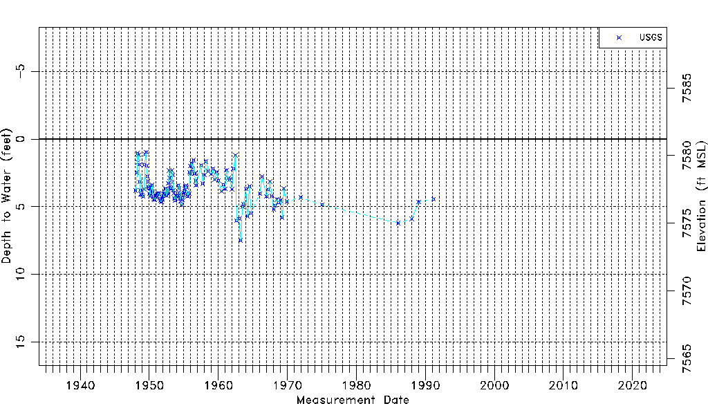
| Water-level Count | 151 |
| Water-level Date Range | 01/08/1948 thru 02/26/1991 |
| Monitored within the last 18 months | No, most recently on 02/26/1991 |
| Depth-to-Water Range (ft) | 0.97 to 7.48 |
| Water Table Elevation Range (ft NAVD88) | 7573.74 to 7580.25 |
| Water-Level-Source:Number-of-Measurements | USGS:151 |