| Well Information Table |
|---|
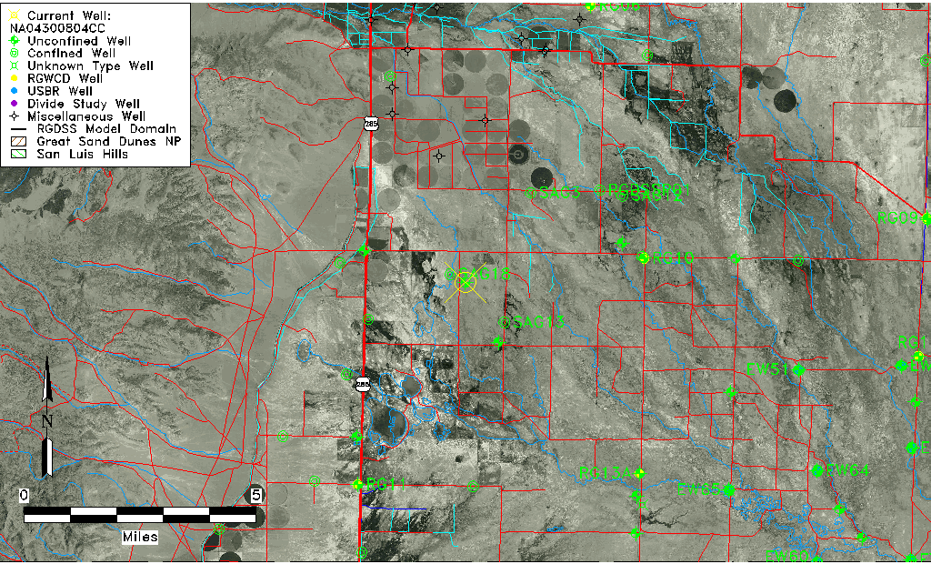
| Common Well ID | NA04300804CC |
| USGS Well ID | 380006106061201 |
| USGS Station Name | NA04300804CC |
| USGS Site Type | Well |
| USGS Site Use Information | Observation |
| USGS Groundwater Use Information | Unknown |
| Data Source(s) | USGS |
| Location Data |
|---|
| TRS | NA04300804CC |
| USGS TRS 1 | NA04300804CC |
| Longitude/Latitude (NAD83) | -106.10391120 , 37.98583330 |
| Longitude/Latitude Data Source | GWSI decimal LAT/LONG field |
| USGS Longitude/Latitude (NAD83) | -106.1039112 , 37.98583330 |
| Easting, Northing RGDSS-NAD83 (US ft) | 76169.40 , 360662.46 |
| USGS Topography | Valley flat |
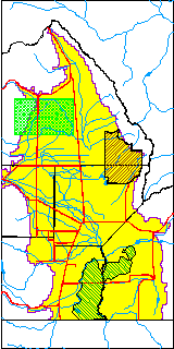
| USGS County | Saguache County |
| USGS Map Name | HARRENCE |
| USGS Map Scale | 24000 |
| Elevation and Depth Data |
|---|
| Ground Elevation (ft NAVD88) | 7606.90000000000 |
| Elevation Data Source | USGS GWSI database |
| USGS Ground Elevation (ft NGVD29) | 7602.50 |
| 1/3-Arc Second NED Ground Elevation (ft NAVD88) | 7599.87 |
| 1-Arc Second NED Ground Elevation (ft NAVD88) | 7600.14 |
| SRTM Ground Elevation (ft NAVD88) | 7611.55 |
| Total Depth (ft) | 3.50 |
| USGS Well Depth (ft) | 3.50 |
| Model Layer | 1 |
| Model Layer Source | Well Depth |
| Depth of Bottom of Layer 1 | 72 |
| Depth of Bottom of Layer 2 | 202 |
| Depth of Bottom of Layer 3 | 635 |
| Depth of Bottom of Layer 4 | 1458 |
| Additional Well Information | NONE |
| Aquifer Information |
|---|
| Aquifer Type | Unconfined |
| Aquifer Type Source | TD Elevation/Model Layer |
| USGS Hydrologic Unit | Saguache |
| USGS Data Available | Miscellaneous (GW.MISC) |
| Water-level Database Information |
|---|
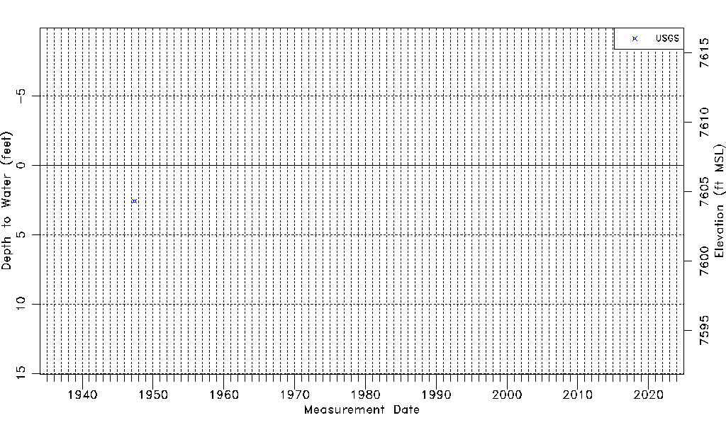
| Water-level Count | 1 |
| Water-level Date Range | 05/20/1947 thru 05/20/1947 |
| Monitored within the last 18 months | No, most recently on 05/20/1947 |
| Depth-to-Water Range (ft) | 2.57 to 2.57 |
| Water Table Elevation Range (ft NAVD88) | 7604.33 to 7604.33 |
| Water-Level-Source:Number-of-Measurements | USGS:1 |