| Well Information Table |
|---|
| Common Well ID | NA044008190BB |
| USGS Well ID | 380300106080001 |
| USGS Station Name | NA044008190BB |
| USGS Construction Date | 09/01/1947 |
| USGS Site Type | Well |
| USGS Site Use Information | Withdrawal of Water |
| USGS Groundwater Use Information | Irrigation |
| Data Source(s) | USGS |
| Location Data |
|---|
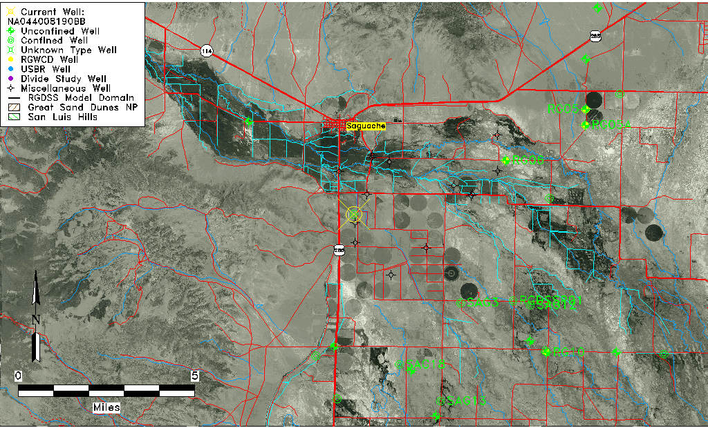
| TRS | NA044008190BB |
| USGS TRS 1 | NA044008190BB |
| USGS TRS | NESWS19 T44N R08E N |
| Longitude/Latitude (NAD83) | -106.13391160 , 38.05000000 |
| Longitude/Latitude Data Source | GWSI decimal LAT/LONG field |
| USGS Longitude/Latitude (NAD83) | -106.1339116 , 38.05000000 |
| Easting, Northing RGDSS-NAD83 (US ft) | 67643.64 , 384065.08 |
| USGS Topography | Valley flat |
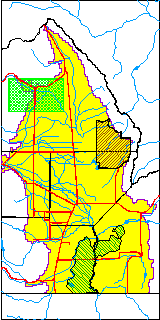
| USGS County | Saguache County |
| USGS Map Name | SAGUACHE, CO |
| USGS Map Scale | 24000 |
| Elevation and Depth Data |
|---|
| Ground Elevation (ft NAVD88) | 7679.00000000000 |
| Elevation Data Source | USGS GWSI database |
| USGS Ground Elevation (ft NAVD88) | 7679.00 |
| 1/3-Arc Second NED Ground Elevation (ft NAVD88) | 7678.89 |
| 1-Arc Second NED Ground Elevation (ft NAVD88) | 7678.64 |
| SRTM Ground Elevation (ft NAVD88) | 7690.29 |
| Total Depth (ft) | 170.00 |
| USGS Well Depth (ft) | 170.00 |
| Model Layer | 2 |
| Model Layer Source | Well Depth |
| Depth of Bottom of Layer 1 | 85 |
| Depth of Bottom of Layer 2 | 172 |
| Depth of Bottom of Layer 3 | 272 |
| Depth of Bottom of Layer 4 | 349 |
| Additional Well Information | Construction |
| Aquifer Information |
|---|
| Aquifer Type | Confined |
| Aquifer Type Source | TD Elevation/Model Layer |
| USGS Hydrologic Unit | Saguache |
| USGS Data Available | Miscellaneous (GW.MISC) |
| Water-level Database Information |
|---|
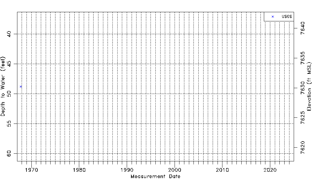
| Water-level Count | 1 |
| Water-level Date Range | 10/10/1967 thru 10/10/1967 |
| Monitored within the last 18 months | No, most recently on 10/10/1967 |
| Depth-to-Water Range (ft) | 48.78 to 48.78 |
| Water Table Elevation Range (ft NAVD88) | 7630.22 to 7630.22 |
| Water-Level-Source:Number-of-Measurements | USGS:1 |