| Well Information Table |
|---|
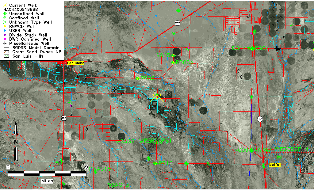
| Common Well ID | NA04400919BBB |
| USGS Well ID | 380325106015501 |
| USGS Station Name | NA04400919BBB |
| USGS Construction Date | 01/01/1953 |
| USGS Site Type | Well |
| USGS Site Use Information | Withdrawal of Water |
| USGS Groundwater Use Information | Irrigation |
| Data Source(s) | USGS |
| Location Data |
|---|
| TRS | NA04400919BBB |
| USGS TRS 1 | NA04400919BBB |
| USGS TRS | NWNWNWS019T0044NR0009EN |
| Longitude/Latitude (NAD83) | -106.03251830 , 38.05694400 |
| Longitude/Latitude Data Source | GWSI decimal LAT/LONG field |
| USGS Longitude/Latitude (NAD83) | -106.0325183 , 38.05694400 |
| Easting, Northing RGDSS-NAD83 (US ft) | 96843.00 , 386460.80 |
| USGS Topography | Valley flat |
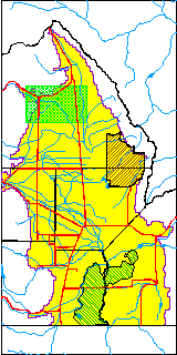
| USGS County | Saguache County |
| Elevation and Depth Data |
|---|
| Ground Elevation (ft NAVD88) | 7608.23000000000 |
| Elevation Data Source | USGS GWSI database |
| USGS Ground Elevation (ft NGVD29) | 7604.00 |
| 1/3-Arc Second NED Ground Elevation (ft NAVD88) | 7608.00 |
| 1-Arc Second NED Ground Elevation (ft NAVD88) | 7606.93 |
| SRTM Ground Elevation (ft NAVD88) | 7618.11 |
| Total Depth (ft) | 613.00 |
| USGS Well Depth (ft) | 613.00 |
| Model Layer | 3 |
| Model Layer Source | Well Depth |
| Depth of Bottom of Layer 1 | 150 |
| Depth of Bottom of Layer 2 | 274 |
| Depth of Bottom of Layer 3 | 800 |
| Depth of Bottom of Layer 4 | 1747 |
| Additional Well Information | Geohydrology, Construction |
| Aquifer Information |
|---|
| Aquifer Type | Confined |
| Aquifer Type Source | TD Elevation/Model Layer |
| USGS Primary Aquifer | Cenozoic Erathem |
| USGS Hydrologic Unit | Saguache |
| USGS Data Available | Water-level (GW.LEV) |
| Water-level Database Information |
|---|
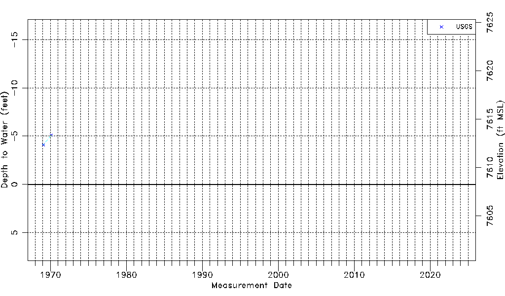
| Water-level Count | 2 |
| Water-level Date Range | 01/21/1969 thru 02/17/1970 |
| Monitored within the last 18 months | No, most recently on 02/17/1970 |
| Depth-to-Water Range (ft) | -5.10 to -4.10 |
| Water Table Elevation Range (ft NAVD88) | 7612.33 to 7613.33 |
| Water-Level-Source:Number-of-Measurements | USGS:2 |