| Well Information Table |
|---|
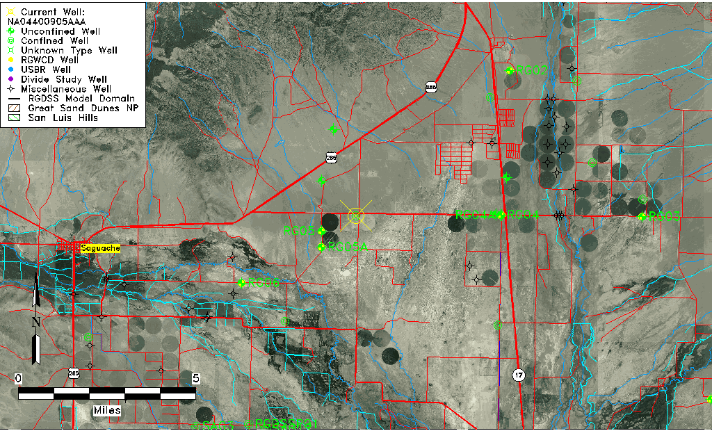
| Common Well ID | NA04400905AAA |
| USGS Well ID | 380600106000001 |
| USGS Station Name | NA04400905AAA |
| USGS Construction Date | 01/01/1965 |
| USGS Site Type | Well |
| USGS Site Use Information | Withdrawal of Water |
| USGS Groundwater Use Information | Irrigation |
| Data Source(s) | USGS |
| Location Data |
|---|
| TRS | NA04400905AAA |
| USGS TRS 1 | NA04400905AAA |
| USGS TRS | NENENES005T0044NR0009EN |
| Longitude/Latitude (NAD83) | -105.99612750 , 38.09999940 |
| Longitude/Latitude Data Source | GWSI decimal LAT/LONG field |
| USGS Longitude/Latitude (NAD83) | -105.9961275 , 38.09999940 |
| Easting, Northing RGDSS-NAD83 (US ft) | 107374.59 , 402095.48 |
| USGS Topography | Hillside (slope) |
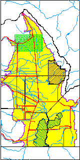
| USGS County | Saguache County |
| USGS Map Name | HICKEY BRIDGE |
| USGS Map Scale | 24000 |
| Elevation and Depth Data |
|---|
| Ground Elevation (ft NAVD88) | 7654.27000000000 |
| Elevation Data Source | USGS GWSI database |
| USGS Ground Elevation (ft NGVD29) | 7650.00 |
| 1/3-Arc Second NED Ground Elevation (ft NAVD88) | 7655.07 |
| 1-Arc Second NED Ground Elevation (ft NAVD88) | 7654.72 |
| SRTM Ground Elevation (ft NAVD88) | 7670.20 |
| Total Depth (ft) | 380.00 |
| USGS Well Depth (ft) | 380.00 |
| Model Layer | 3 |
| Model Layer Source | Well Depth |
| Depth of Bottom of Layer 1 | 190 |
| Depth of Bottom of Layer 2 | 277 |
| Depth of Bottom of Layer 3 | 562 |
| Depth of Bottom of Layer 4 | 1830 |
| Additional Well Information | Geohydrology, Construction |
| Aquifer Information |
|---|
| Aquifer Type | Confined |
| Aquifer Type Source | TD Elevation/Model Layer |
| USGS Primary Aquifer | Cenozoic Erathem |
| USGS Hydrologic Unit | Saguache |
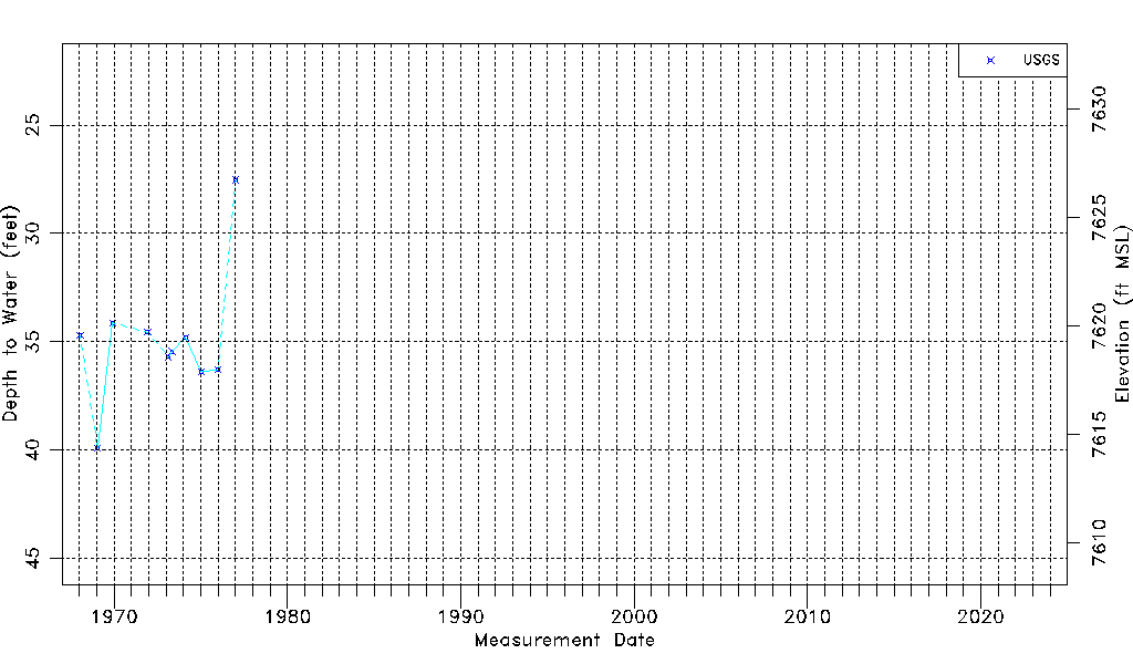
| USGS Data Available | Water-level (GW.LEV) |
| Water-level Database Information |
|---|
| Water-level Count | 10 |
| Water-level Date Range | 01/16/1968 thru 01/11/1977 |
| Monitored within the last 18 months | No, most recently on 01/11/1977 |
| Depth-to-Water Range (ft) | 27.53 to 39.90 |
| Water Table Elevation Range (ft NAVD88) | 7614.37 to 7626.74 |
| Water-Level-Source:Number-of-Measurements | USGS:10 |