| Well Information Table |
|---|
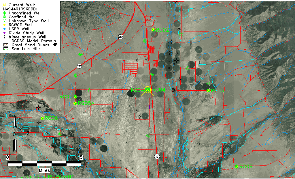
| Common Well ID | NA04401006BBB1 |
| USGS Well ID | 380603105552401 |
| USGS Station Name | NA04401006BBB1 |
| USGS Construction Date | 01/01/1966 |
| USGS Site Type | Well |
| USGS Site Use Information | Observation |
| USGS Groundwater Use Information | Unused |
| Data Source(s) | USGS |
| Location Data |
|---|
| TRS | NA04401006BBB1 |
| USGS TRS 1 | NA04401006BBB1 |
| USGS TRS | NWNWNWS006T0044NR0010EN |
| Longitude/Latitude (NAD83) | -105.92390340 , 38.10083255 |
| Longitude/Latitude Data Source | GWSI decimal LAT/LONG field |
| USGS Longitude/Latitude (NAD83) | -105.9239034 , 38.10083255 |
| Easting, Northing RGDSS-NAD83 (US ft) | 128152.91 , 402331.95 |
| USGS Topography | Valley flat |
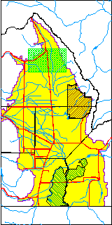
| USGS County | Saguache County |
| Elevation and Depth Data |
|---|
| Ground Elevation (ft NAVD88) | 7632.27000000000 |
| Elevation Data Source | USGS GWSI database |
| USGS Ground Elevation (ft NGVD29) | 7628.00 |
| 1/3-Arc Second NED Ground Elevation (ft NAVD88) | 7634.19 |
| 1-Arc Second NED Ground Elevation (ft NAVD88) | 7632.47 |
| SRTM Ground Elevation (ft NAVD88) | 7634.69 |
| Total Depth (ft) | 12.00 |
| USGS Well Depth (ft) | 12.00 |
| Model Layer | 1 |
| Model Layer Source | Well Depth |
| Depth of Bottom of Layer 1 | 134 |
| Depth of Bottom of Layer 2 | 212 |
| Depth of Bottom of Layer 3 | 526 |
| Depth of Bottom of Layer 4 | 3571 |
| Additional Well Information | Geohydrology, Construction |
| Aquifer Information |
|---|
| Aquifer Type | Unconfined |
| Aquifer Type Source | TD Elevation/Model Layer |
| USGS Primary Aquifer | Cenozoic Erathem |
| USGS Hydrologic Unit | Saguache |
| USGS Data Available | Water-level (GW.LEV) |
| Water-level Database Information |
|---|
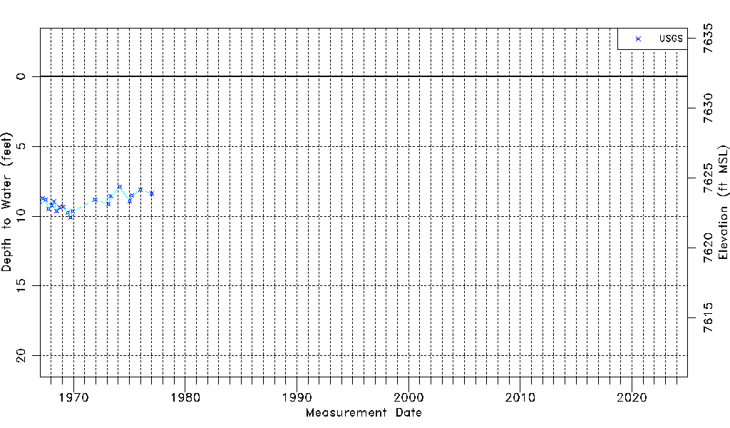
| Water-level Count | 20 |
| Water-level Date Range | 01/04/1967 thru 01/11/1977 |
| Monitored within the last 18 months | No, most recently on 01/11/1977 |
| Depth-to-Water Range (ft) | 7.92 to 10.11 |
| Water Table Elevation Range (ft NAVD88) | 7622.16 to 7624.35 |
| Water-Level-Source:Number-of-Measurements | USGSaguache Creek:20 |