| Well Information Table |
|---|
| Common Well ID | NA04700921ABB |
| USGS Well ID | 381858105590001 |
| USGS Station Name | NA04700921ABB |
| USGS Construction Date | 10/25/1966 |
| USGS Site Type | Well |
| USGS Site Use Information | Withdrawal of Water |
| USGS Groundwater Use Information | Irrigation |
| Data Source(s) | USGS |
| Location Data |
|---|
| TRS | NA04700921ABB |
| USGS TRS 1 | NA04700921ABB |
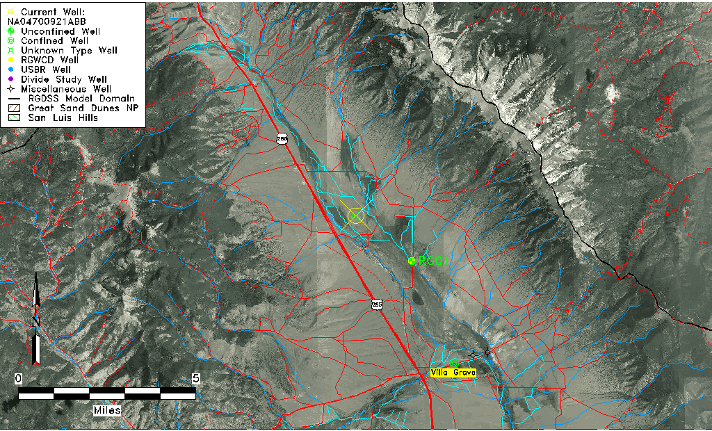
| USGS TRS | NENWS21 T47N R09E N |
| Longitude/Latitude (NAD83) | -105.98390270 , 38.31610986 |
| Longitude/Latitude Data Source | GWSI decimal LAT/LONG field |
| USGS Longitude/Latitude (NAD83) | -105.9839027 , 38.31610986 |
| Easting, Northing RGDSS-NAD83 (US ft) | 111166.81 , 480760.05 |
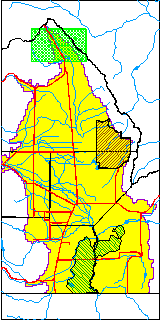
| USGS County | Saguache County |
| USGS Map Name | BUSHNELL PEAK, CO |
| USGS Map Scale | 24000 |
| Elevation and Depth Data |
|---|
| Ground Elevation (ft NAVD88) | 8103.00000000000 |
| Elevation Data Source | USGS GWSI database |
| USGS Ground Elevation (ft NAVD88) | 8103.00 |
| 1/3-Arc Second NED Ground Elevation (ft NAVD88) | 8107.76 |
| 1-Arc Second NED Ground Elevation (ft NAVD88) | 8102.75 |
| SRTM Ground Elevation (ft NAVD88) | 8106.96 |
| Total Depth (ft) | 192.00 |
| USGS Well Depth (ft) | 192.00 |
| Model Layer | 4 |
| Model Layer Source | Well Depth |
| Depth of Bottom of Layer 1 | 37 |
| Depth of Bottom of Layer 2 | 60 |
| Depth of Bottom of Layer 3 | 146 |
| Depth of Bottom of Layer 4 | 1014 |
| Additional Well Information | Construction |
| Aquifer Information |
|---|
| Aquifer Type | Confined |
| Aquifer Type Source | TD Elevation/Model Layer |
| USGS Hydrologic Unit | San Luis |
| USGS Data Available | Miscellaneous (GW.MISC) |
| Water-level Database Information |
|---|
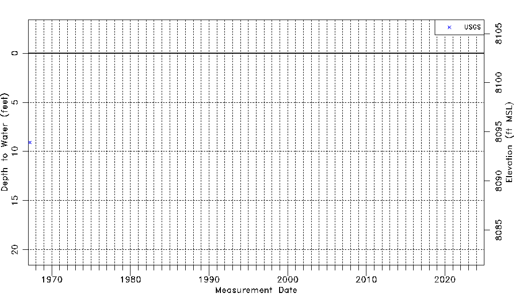
| Water-level Count | 1 |
| Water-level Date Range | 03/22/1967 thru 03/22/1967 |
| Monitored within the last 18 months | No, most recently on 03/22/1967 |
| Depth-to-Water Range (ft) | 9.07 to 9.07 |
| Water Table Elevation Range (ft NAVD88) | 8093.93 to 8093.93 |
| Water-Level-Source:Number-of-Measurements | USGS:1 |