| Well Information Table |
|---|
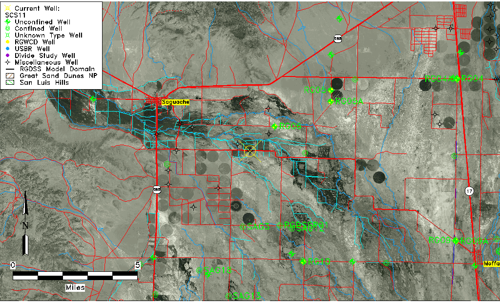
| Common Well ID | SCS11 |
| USGS Site Use Information | Unknown |
| USGS Groundwater Use Information | Unknown |
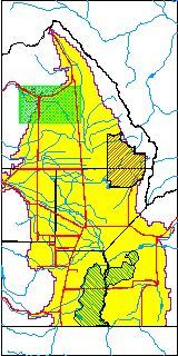
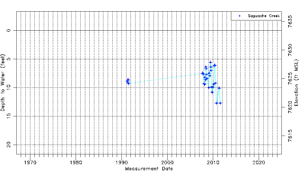
| Data Source(s) | Saguache Creek |
| Location Data |
|---|
| Longitude/Latitude (NAD83) | -106.07315234 , 38.05787855 |
| Longitude/Latitude Data Source | Saguach Ck Survey |
| Easting, Northing RGDSS-NAD83 (US ft) | 85147.87 , 386850.22 |
| Elevation and Depth Data |
|---|
| Ground Elevation (ft NAVD88) | 7633.42000000000 |
| Elevation Data Source | Saguache Creek survey |
| 1/3-Arc Second NED Ground Elevation (ft NAVD88) | 7632.42 |
| 1-Arc Second NED Ground Elevation (ft NAVD88) | 7631.63 |
| SRTM Ground Elevation (ft NAVD88) | 7640.66 |
| Model Layer | 1 |
| Model Layer Source | Saguache Layer |
| Depth of Bottom of Layer 1 | 121 |
| Depth of Bottom of Layer 2 | 223 |
| Depth of Bottom of Layer 3 | 595 |
| Depth of Bottom of Layer 4 | 1056 |
| Additional Well Information | NONE |
| Aquifer Information |
|---|
| Aquifer Type | Unconfined |
| Aquifer Type Source | TD Elevation/Model Layer |
| Water-level Database Information |
|---|
| Water-level Count | 30 |
| Water-level Date Range | 04/16/1991 thru 07/29/2011 |
| Monitored within the last 18 months | No, most recently on 07/29/2011 |
| Depth-to-Water Range (ft) | 5.60 to 12.70 |
| Water Table Elevation Range (ft NAVD88) | 7620.72 to 7627.82 |
| Water-Level-Source:Number-of-Measurements | Saguache Creek:30 |