| Well Information Table |
|---|
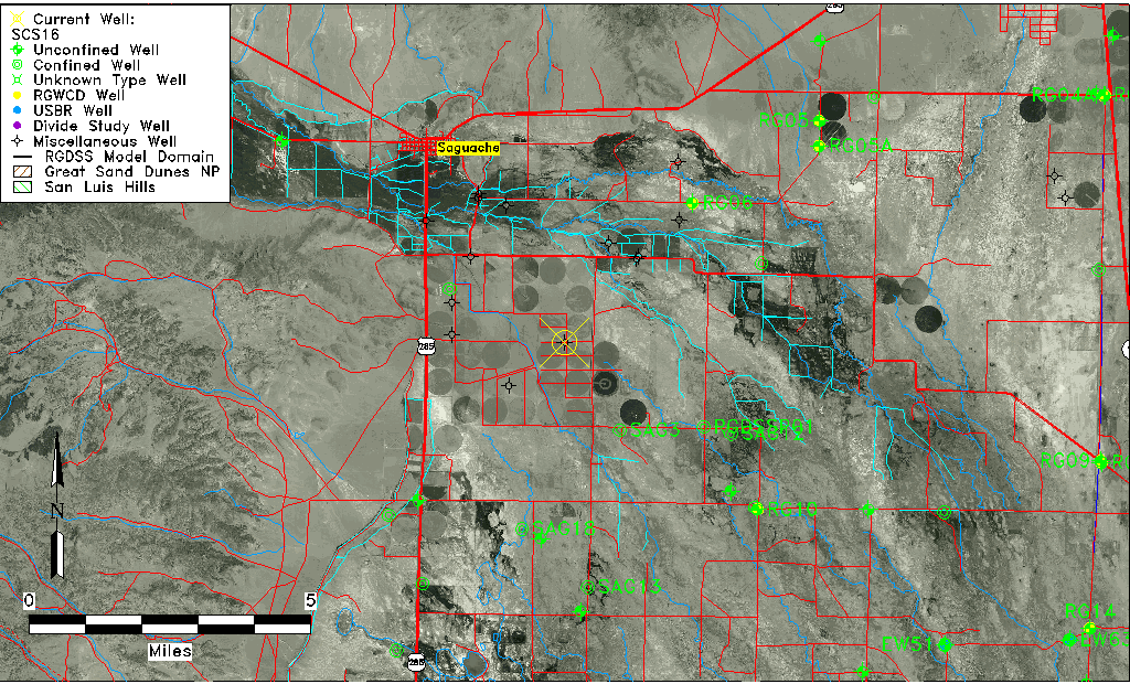
| Common Well ID | SCS16 |
| USGS Site Use Information | Unknown |
| USGS Groundwater Use Information | Unknown |
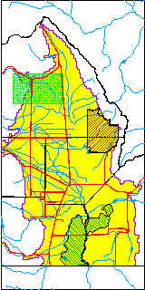
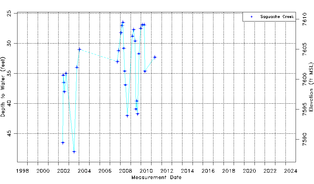
| Data Source(s) | Saguache Creek |
| Location Data |
|---|
| Longitude/Latitude (NAD83) | -106.09640365 , 38.03634032 |
| Longitude/Latitude Data Source | Saguach Ck Survey |
| Easting, Northing RGDSS-NAD83 (US ft) | 78418.32 , 379039.56 |
| Elevation and Depth Data |
|---|
| Ground Elevation (ft NAVD88) | 7635.96000000000 |
| Elevation Data Source | NED3 data |
| 1/3-Arc Second NED Ground Elevation (ft NAVD88) | 7635.96 |
| 1-Arc Second NED Ground Elevation (ft NAVD88) | 7635.12 |
| SRTM Ground Elevation (ft NAVD88) | 7643.21 |
| Model Layer | 1 |
| Model Layer Source | Saguache Layer |
| Depth of Bottom of Layer 1 | 86 |
| Depth of Bottom of Layer 2 | 197 |
| Depth of Bottom of Layer 3 | 437 |
| Depth of Bottom of Layer 4 | 876 |
| Additional Well Information | NONE |
| Aquifer Information |
|---|
| Aquifer Type | Unconfined |
| Aquifer Type Source | TD Elevation/Model Layer |
| Water-level Database Information |
|---|
| Water-level Count | 29 |
| Water-level Date Range | 06/05/2002 thru 05/04/2011 |
| Monitored within the last 18 months | No, most recently on 05/04/2011 |
| Depth-to-Water Range (ft) | 26.50 to 48.00 |
| Water Table Elevation Range (ft NAVD88) | 7587.96 to 7609.46 |
| Water-Level-Source:Number-of-Measurements | Saguache Creek:29 |