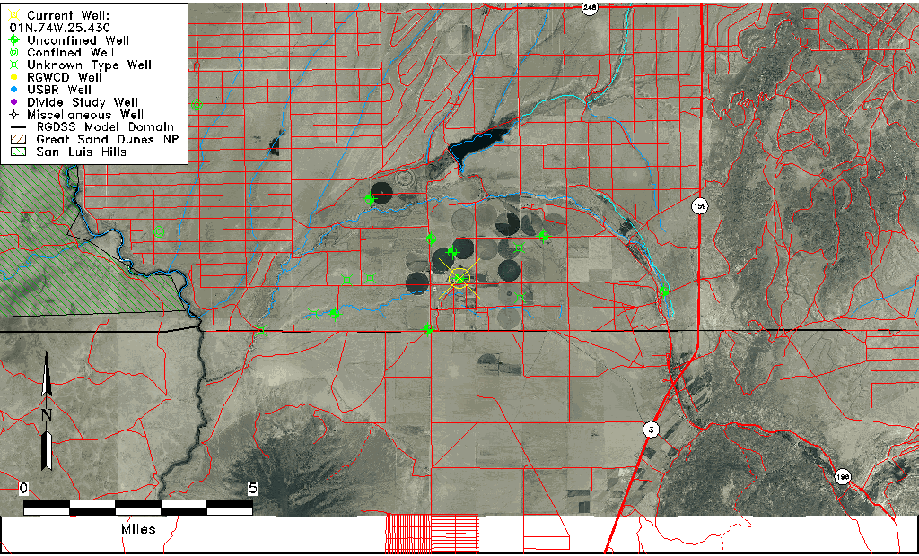
| Well Information Table |
|---|
| Common Well ID | 01N.74W.25.430 |
| USGS Well ID | 370045105365501 |
| USGS Station Name | 01N.74W.25.430 |
| USGS Site Type | Well |
| USGS Site Use Information | Unknown |
| USGS Groundwater Use Information | Unknown |
| Data Source(s) | USGS |
| Location Data |
|---|
| TRS | 01N.74W.25.430 |
| USGS TRS 1 | 01N.74W.25.430 |
| USGS TRS | SWSES25 T01N R74W |
| Longitude/Latitude (NAD83) | -105.61584530 , 37.01251989 |
| Longitude/Latitude Data Source | GWSI decimal LAT/LONG field |
| USGS Longitude/Latitude (NAD83) | -105.615845300 , 37.012519890 |
| Easting, Northing RGDSS-NAD83 (US ft) | 216997.81 , 6081.36 |
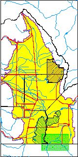
| USGS County | Costilla County |
| USGS Map Name | GARCIA, CO |
| USGS Map Scale | 24000 |
| Elevation and Depth Data |
|---|
| Ground Elevation (ft NAVD88) | 7591.18 |
| Elevation Data Source | USGS GWSI database |
| USGS Ground Elevation (ft NGVD29) | 7587.00 |
| 1/3-Arc Second NED Ground Elevation (ft NAVD88) | 7592.53 |
| 1-Arc Second NED Ground Elevation (ft NAVD88) | 7591.77 |
| SRTM Ground Elevation (ft NAVD88) | 7588.09 |
| Total Depth (ft) | 283.00 |
| USGS Well Depth (ft) | 283.00 |
| Model Layer | 1 |
| Model Layer Source | Well Depth |
| Depth of Bottom of Layer 1 | 312 |
| Depth of Bottom of Layer 2 | 412 |
| Depth of Bottom of Layer 3 | 506 |
| Depth of Bottom of Layer 4 | 1119 |
| Additional Well Information | NONE |
| Aquifer Information |
|---|
| Aquifer Type | Unconfined |
| Aquifer Type Source | TD Elevation/Model Layer |
| USGS Hydrologic Unit | Upper Rio Grande |
| USGS Data Available | Water-level (GW.LEV) |
| Water-level Database Information |
|---|
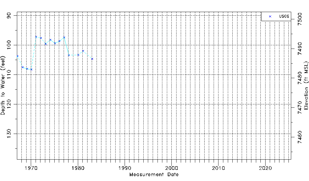
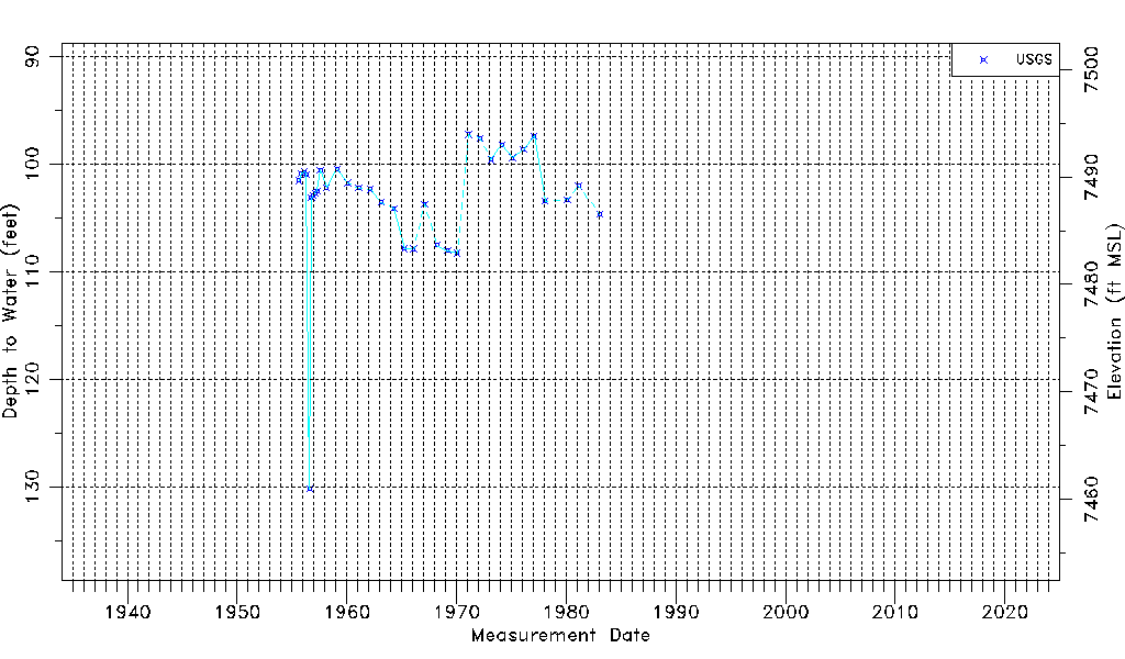
| Water-level Count | 34 |
| Water-level Date Range | 08/25/1955 thru 01/25/1983 |
| Monitored within the last 18 months | No, most recently on 01/25/1983 |
| Depth-to-Water Range (ft) | 97.22 to 130.20 |
| Water Table Elevation Range (ft NAVD88) | 7460.98 to 7493.96 |
| Water-Level-Source:Number-of-Measurements | USGS:34 |