| Well Information Table |
|---|
| Common Well ID | NA03201006BBB |
| USGS Well ID | 370257105553901 |
| USGS Station Name | NA03201006BBB |
| USGS Site Type | Well |
| USGS Site Use Information | Observation |
| USGS Groundwater Use Information | Irrigation |
| Data Source(s) | USGS |
| Location Data |
|---|
| TRS | NA03201006BBB |
| USGS TRS 1 | NA03201006BBB |
| Longitude/Latitude (NAD83) | -105.92807500 , 37.04918090 |
| Longitude/Latitude Data Source | GWSI decimal LAT/LONG field |
| USGS Longitude/Latitude (NAD83) | -105.928075000 , 37.049180900 |
| Easting, Northing RGDSS-NAD83 (US ft) | 125897.88 , 19515.54 |
| USGS Topography | Valley flat |
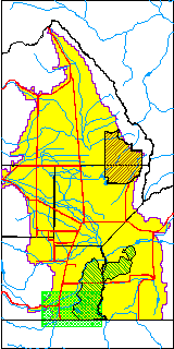
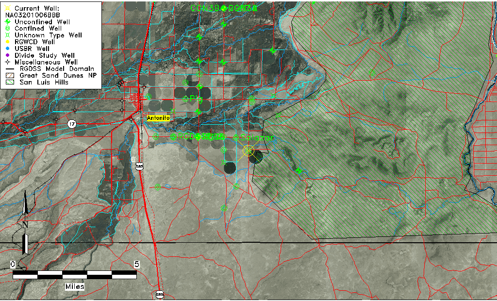
| USGS County | Conejos County |
| USGS Map Name | LOBATOS, CO |
| USGS Map Scale | 24000 |
| Elevation and Depth Data |
|---|
| Ground Elevation (ft NAVD88) | 7772.01 |
| Elevation Data Source | USGS GWSI database |
| USGS Ground Elevation (ft NGVD29) | 7768.00 |
| 1/3-Arc Second NED Ground Elevation (ft NAVD88) | 7772.83 |
| 1-Arc Second NED Ground Elevation (ft NAVD88) | 7778.06 |
| SRTM Ground Elevation (ft NAVD88) | 7772.48 |
| Total Depth (ft) | 225.00 |
| USGS Well Depth (ft) | 225.00 |
| Model Layer | 3 |
| Model Layer Source | Well Depth |
| Depth of Bottom of Layer 2 | 126 |
| Depth of Bottom of Layer 3 | 308 |
| Depth of Bottom of Layer 4 | 1619 |
| Additional Well Information | Logs, Construction |
| Aquifer Information |
|---|
| Aquifer Type | Confined |
| Aquifer Type Source | TD Elevation/Model Layer |
| USGS Hydrologic Unit | Alamosa-Trinchera |
| USGS Data Available | Water-level (GW.LEV) |
| Water-level Database Information |
|---|
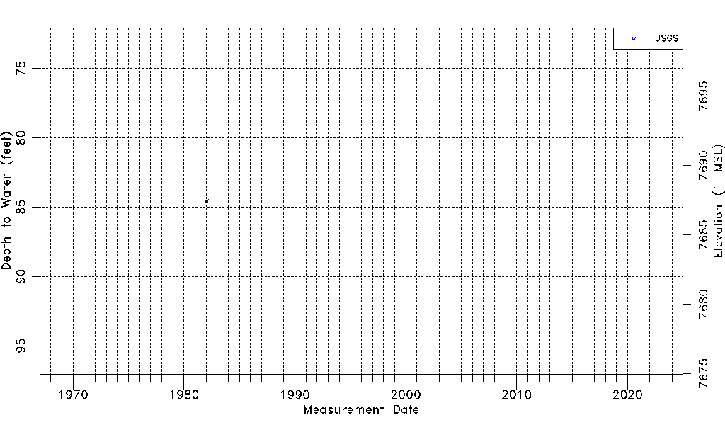
| Water-level Count | 1 |
| Water-level Date Range | 01/22/1982 thru 01/22/1982 |
| Monitored within the last 18 months | No, most recently on 01/22/1982 |
| Depth-to-Water Range (ft) | 84.56 to 84.56 |
| Water Table Elevation Range (ft NAVD88) | 7687.45 to 7687.45 |
| Water-Level-Source:Number-of-Measurements | USGS:1 |