| Well Information Table |
|---|
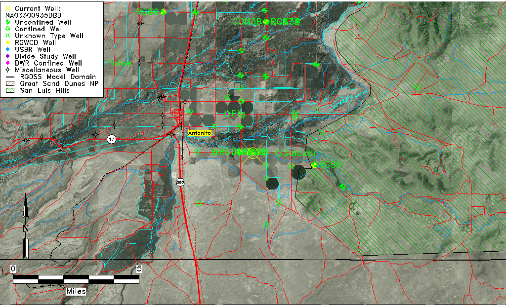
| Common Well ID | NA03300935DBB |
| USGS Well ID | 370324105571801 |
| USGS Station Name | NA03300935DBB |
| USGS Site Type | Well |
| USGS Site Use Information | Observation |
| USGS Groundwater Use Information | Irrigation |
| Data Source(s) | USGS |
| Location Data |
|---|
| TRS | NA03300935DBB |
| USGS TRS 1 | NA03300935DBB |
| Longitude/Latitude (NAD83) | -105.95557570 , 37.05668030 |
| Longitude/Latitude Data Source | GWSI decimal LAT/LONG field |
| USGS Longitude/Latitude (NAD83) | -105.955575700 , 37.056680300 |
| Easting, Northing RGDSS-NAD83 (US ft) | 117882.50 , 22267.55 |
| USGS Topography | Valley flat |
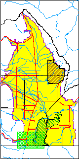
| USGS County | Conejos County |
| USGS Map Name | LOBATOS, CO. |
| USGS Map Scale | 24000 |
| Elevation and Depth Data |
|---|
| Ground Elevation (ft NAVD88) | 7805.02 |
| Elevation Data Source | USGS GWSI database |
| USGS Ground Elevation (ft NGVD29) | 7801.00 |
| 1/3-Arc Second NED Ground Elevation (ft NAVD88) | 7804.93 |
| 1-Arc Second NED Ground Elevation (ft NAVD88) | 7806.86 |
| SRTM Ground Elevation (ft NAVD88) | 7805.68 |
| Total Depth (ft) | 225.00 |
| USGS Hole Depth (ft) | 225.00 |
| USGS Well Depth (ft) | 225.00 |
| Model Layer | 3 |
| Model Layer Source | Well Depth |
| Depth of Bottom of Layer 1 | 32 |
| Depth of Bottom of Layer 2 | 122 |
| Depth of Bottom of Layer 3 | 312 |
| Depth of Bottom of Layer 4 | 1630 |
| Additional Well Information | Logs, Construction |
| Aquifer Information |
|---|
| Aquifer Type | Confined |
| Aquifer Type Source | TD Elevation/Model Layer |
| USGS Hydrologic Unit | Alamosa-Trinchera |
| USGS Data Available | Water-level (GW.LEV) |
| Water-level Database Information |
|---|
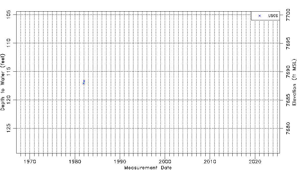
| Water-level Count | 2 |
| Water-level Date Range | 12/14/1981 thru 01/22/1982 |
| Monitored within the last 18 months | No, most recently on 01/22/1982 |
| Depth-to-Water Range (ft) | 116.68 to 117.10 |
| Water Table Elevation Range (ft NAVD88) | 7687.92 to 7688.34 |
| Water-Level-Source:Number-of-Measurements | USGS:2 |