| Well Information Table |
|---|
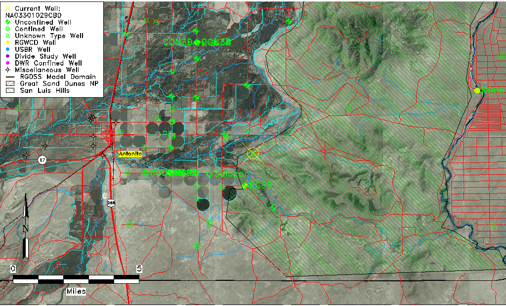
| Common Well ID | NA03301029CBD |
| USGS Well ID | 370412105542101 |
| USGS Station Name | NA03301029CBD |
| USGS Site Type | Well |
| USGS Site Use Information | Observation |
| USGS Groundwater Use Information | Irrigation |
| Data Source(s) | USGS |
| Location Data |
|---|
| TRS | NA03301029CBD |
| USGS TRS 1 | NA03301029CBD |
| Longitude/Latitude (NAD83) | -105.90601524 , 37.06871460 |
| Longitude/Latitude Data Source | MJS review of DWR |
| USGS Longitude/Latitude (NAD83) | -105.906408100 , 37.070014090 |
| Easting, Northing RGDSS-NAD83 (US ft) | 132350.95 , 26609.28 |
| USGS Topography | Valley flat |
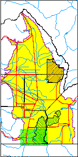
| USGS County | Conejos County |
| USGS Map Name | LOBATOS, CO. |
| USGS Map Scale | 24000 |
| Elevation and Depth Data |
|---|
| Ground Elevation (ft NAVD88) | 7761.60 |
| Elevation Data Source | MJS review of DWR |
| USGS Ground Elevation (ft NGVD29) | 7748.00 |
| 1/3-Arc Second NED Ground Elevation (ft NAVD88) | 7753.13 |
| 1-Arc Second NED Ground Elevation (ft NAVD88) | 7750.78 |
| SRTM Ground Elevation (ft NAVD88) | 7753.23 |
| USGS Hole Depth (ft) | 1500.00 |
| Depth of Bottom of Layer 1 | 77 |
| Depth of Bottom of Layer 2 | 189 |
| Depth of Bottom of Layer 3 | 333 |
| Depth of Bottom of Layer 4 | 1562 |
| Additional Well Information | Logs, Construction |
| Aquifer Information |
|---|
| Aquifer Type | Unknown |
| Aquifer Type Source | None |
| USGS Hydrologic Unit | Conejos |
| USGS Data Available | Water-level (GW.LEV) |
| Water-level Database Information |
|---|
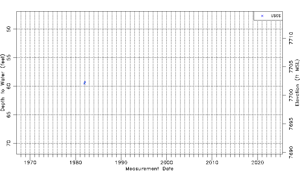
| Water-level Count | 2 |
| Water-level Date Range | 12/15/1981 thru 01/22/1982 |
| Monitored within the last 18 months | No, most recently on 01/22/1982 |
| Depth-to-Water Range (ft) | 59.26 to 59.54 |
| Water Table Elevation Range (ft NAVD88) | 7702.06 to 7702.34 |
| Water-Level-Source:Number-of-Measurements | USGS:2 |