| Well Information Table |
|---|
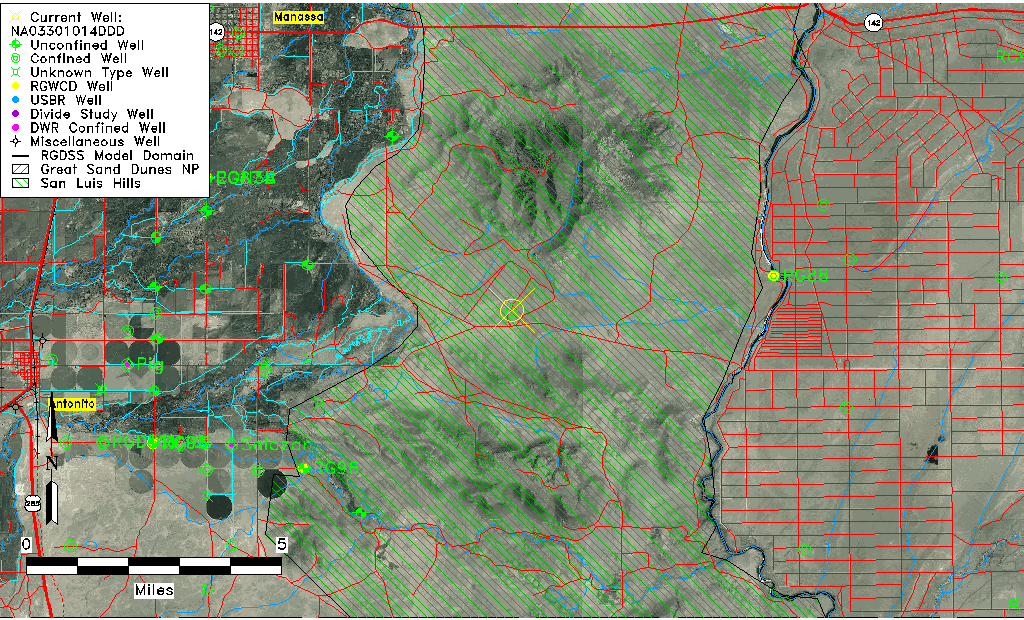
| Common Well ID | NA03301014DDD |
| USGS Well ID | 370542105501501 |
| USGS Station Name | NA03301014DDD |
| USGS Construction Date | 09/25/1982 |
| USGS Site Type | Well |
| USGS Site Use Information | Withdrawal of Water |
| USGS Groundwater Use Information | Stock |
| Data Source(s) | USGS |
| Location Data |
|---|
| TRS | NA03301014DDD |
| USGS TRS 1 | NA03301014DDD |
| Longitude/Latitude (NAD83) | -105.83807360 , 37.09501446 |
| Longitude/Latitude Data Source | GWSI decimal LAT/LONG field |
| USGS Longitude/Latitude (NAD83) | -105.838073600 , 37.095014460 |
| Easting, Northing RGDSS-NAD83 (US ft) | 152183.99 , 36141.31 |
| USGS Topography | Alluvial or Marine Terrace |
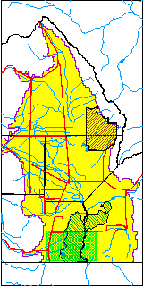
| USGS County | Conejos County |
| USGS Map Name | KIOWA HILL, CO. |
| USGS Map Scale | 24000 |
| Elevation and Depth Data |
|---|
| Ground Elevation (ft NAVD88) | 7843.98 |
| Elevation Data Source | USGS GWSI database |
| USGS Ground Elevation (ft NGVD29) | 7840.00 |
| 1/3-Arc Second NED Ground Elevation (ft NAVD88) | 7845.64 |
| 1-Arc Second NED Ground Elevation (ft NAVD88) | 7838.46 |
| SRTM Ground Elevation (ft NAVD88) | 7838.31 |
| Total Depth (ft) | 337.00 |
| USGS Hole Depth (ft) | 337.00 |
| USGS Well Depth (ft) | 337.00 |
| Model Layer | 2 |
| Model Layer Source | Well Depth |
| Depth of Bottom of Layer 1 | 312 |
| Depth of Bottom of Layer 2 | 412 |
| Depth of Bottom of Layer 3 | 542 |
| Depth of Bottom of Layer 4 | 1367 |
| Additional Well Information | Production, Construction |
| Aquifer Information |
|---|
| Aquifer Type | Confined |
| Aquifer Type Source | TD Elevation/Model Layer |
| USGS Hydrologic Unit | Conejos |
| USGS Data Available | Water-level (GW.LEV) |
| Water-level Database Information |
|---|
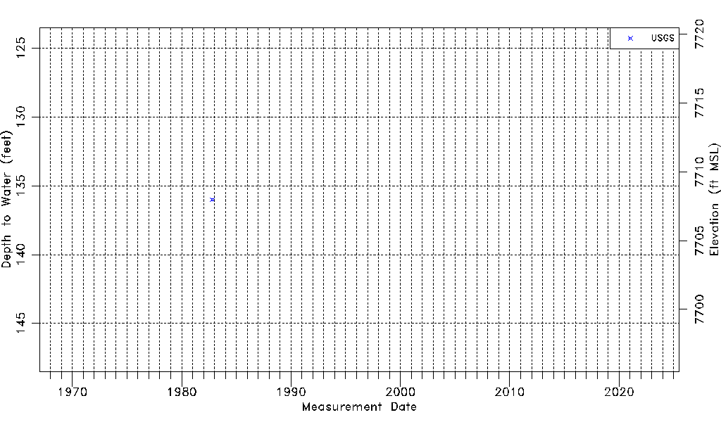
| Water-level Count | 1 |
| Water-level Date Range | 10/20/1982 thru 10/20/1982 |
| Monitored within the last 18 months | No, most recently on 10/20/1982 |
| Depth-to-Water Range (ft) | 136.00 to 136.00 |
| Water Table Elevation Range (ft NAVD88) | 7707.98 to 7707.98 |
| Water-Level-Source:Number-of-Measurements | USGS:1 |