| Well Information Table |
|---|
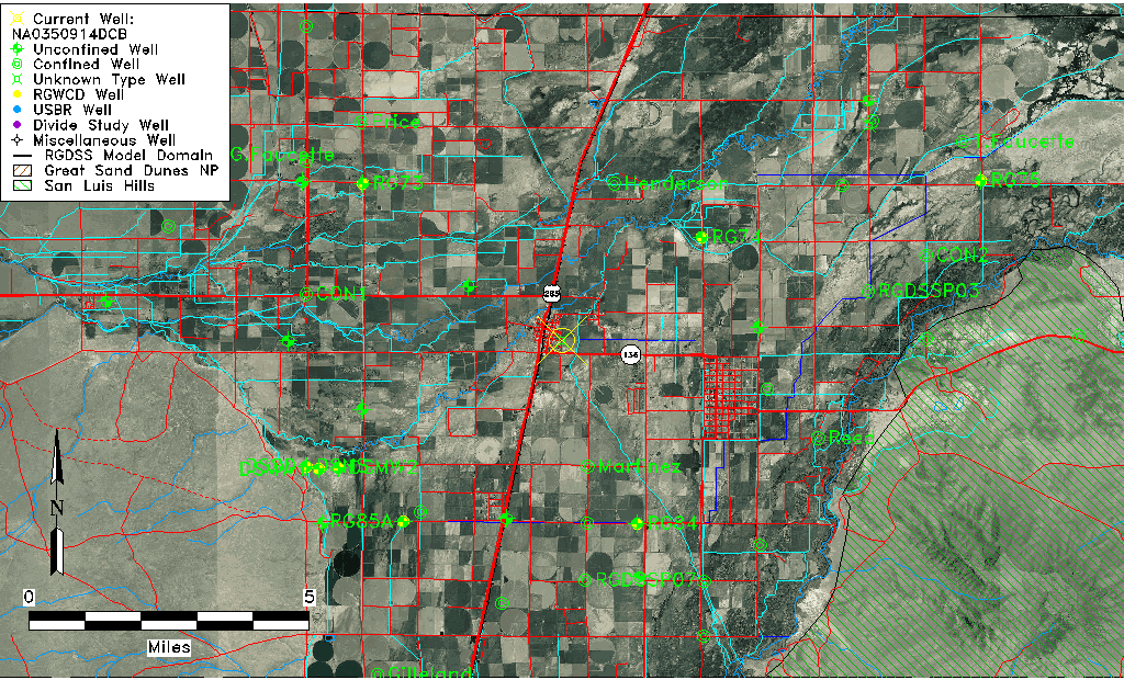
| Common Well ID | NA0350914DCB |
| USGS Well ID | 371620105571601 |
| USGS Station Name | NA0350914DCB |
| USGS Construction Date | 1964 |
| USGS Site Type | Well |
| USGS Site Use Information | Withdrawal of Water |
| USGS Groundwater Use Information | Irrigation |
| Data Source(s) | USGS |
| Location Data |
|---|
| TRS | NA0350914DCB |
| USGS TRS 1 | NA0350914DCB |
| Longitude/Latitude (NAD83) | -105.95502310 , 37.27223078 |
| Longitude/Latitude Data Source | GWSI decimal LAT/LONG field |
| USGS Longitude/Latitude (NAD83) | -105.955023100 , 37.272230780 |
| Easting, Northing RGDSS-NAD83 (US ft) | 118274.99 , 100726.22 |
| USGS Topography | Valley flat |
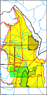
| USGS County | Conejos County |
| USGS Map Name | LA JARA |
| USGS Map Scale | 24000 |
| Elevation and Depth Data |
|---|
| Ground Elevation (ft NAVD88) | 7602.02 |
| Elevation Data Source | USGS GWSI database |
| USGS Ground Elevation (ft NGVD29) | 7598.00 |
| 1/3-Arc Second NED Ground Elevation (ft NAVD88) | 7603.36 |
| 1-Arc Second NED Ground Elevation (ft NAVD88) | 7603.24 |
| SRTM Ground Elevation (ft NAVD88) | 7624.66 |
| Depth of Bottom of Layer 1 | 26 |
| Depth of Bottom of Layer 2 | 243 |
| Depth of Bottom of Layer 3 | 369 |
| Depth of Bottom of Layer 4 | 2225 |
| Additional Well Information | Production, Construction |
| Aquifer Information |
|---|
| Aquifer Type | Unknown |
| Aquifer Type Source | None |
| USGS Hydrologic Unit | Alamosa-Trinchera |
| USGS Data Available | Water-level (GW.LEV) |
| Water-level Database Information |
|---|
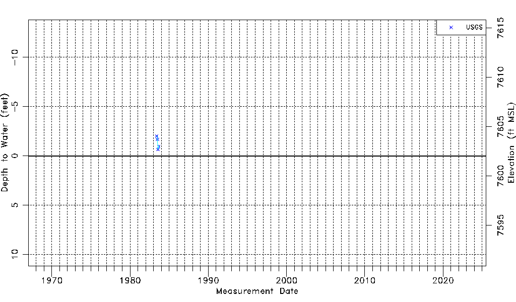
| Water-level Count | 4 |
| Water-level Date Range | 06/06/1983 thru 09/08/1983 |
| Monitored within the last 18 months | No, most recently on 09/08/1983 |
| Depth-to-Water Range (ft) | -2.00 to -0.65 |
| Water Table Elevation Range (ft NAVD88) | 7602.67 to 7604.02 |
| Water-Level-Source:Number-of-Measurements | USGS:4 |