| Well Information Table |
|---|
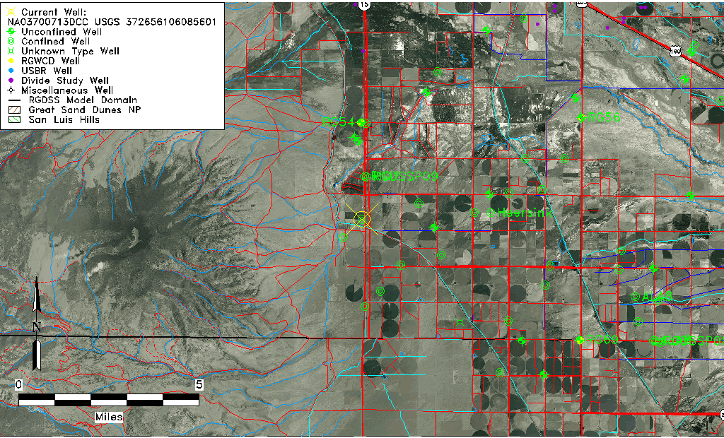
| Common Well ID | NA03700713DCC USGS 372656106085601 |
| USGS Well ID | 372656106085601 |
| USGS Station Name | NA03700713DCC USGS 372656106085601 |
| USGS Site Type | Well |
| USGS Site Use Information | Withdrawal of Water |
| USGS Groundwater Use Information | Irrigation |
| Data Source(s) | USGS |
| Location Data |
|---|
| TRS | NA03700713DCC USGS 372656106085601 |
| USGS TRS 1 | NA03700713DCC USGS 372656106085601 |
| Longitude/Latitude (NAD83) | -106.15641623 , 37.44461067 |
| Longitude/Latitude Data Source | MJS review of DWR |
| USGS Longitude/Latitude (NAD83) | -106.149473500 , 37.448893450 |
| Easting, Northing RGDSS-NAD83 (US ft) | 60011.25 , 163712.11 |
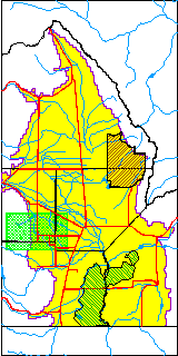
| USGS County | Rio Grande County |
| USGS Map Name | COUNTY ROAD MAPS |
| USGS Map Scale | 125000 |
| Elevation and Depth Data |
|---|
| Ground Elevation (ft NAVD88) | 7698.83 |
| Elevation Data Source | MJS review of DWR |
| USGS Ground Elevation (ft NGVD29) | 7696.80 |
| 1/3-Arc Second NED Ground Elevation (ft NAVD88) | 7699.49 |
| 1-Arc Second NED Ground Elevation (ft NAVD88) | 7699.83 |
| SRTM Ground Elevation (ft NAVD88) | 7708.01 |
| Total Depth (ft) | 110.00 |
| USGS Well Depth (ft) | 110.00 |
| Model Layer | 2 |
| Model Layer Source | Well Depth |
| Depth of Bottom of Layer 2 | 110 |
| Depth of Bottom of Layer 3 | 488 |
| Depth of Bottom of Layer 4 | 1322 |
| Additional Well Information | NONE |
| Aquifer Information |
|---|
| Aquifer Type | Confined |
| Aquifer Type Source | TD Elevation/Model Layer |
| USGS Hydrologic Unit | Alamosa-Trinchera |
| USGS Data Available | Miscellaneous (GW.MISC) |
| Water-level Database Information |
|---|
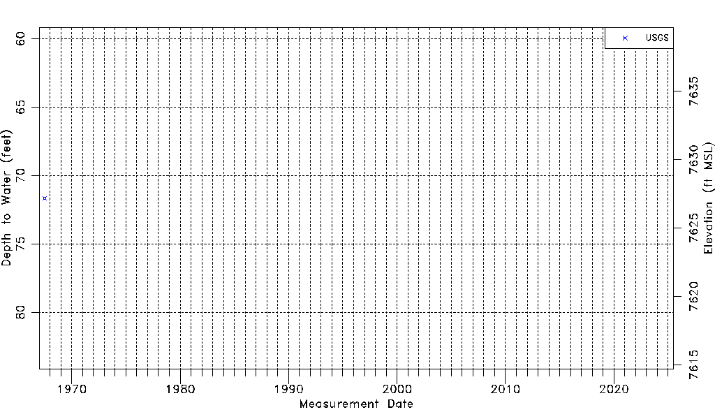
| Water-level Count | 1 |
| Water-level Date Range | 07/12/1967 thru 07/12/1967 |
| Monitored within the last 18 months | No, most recently on 07/12/1967 |
| Depth-to-Water Range (ft) | 71.65 to 71.65 |
| Water Table Elevation Range (ft NAVD88) | 7627.18 to 7627.18 |
| Water-Level-Source:Number-of-Measurements | USGS:1 |