| Well Information Table |
|---|
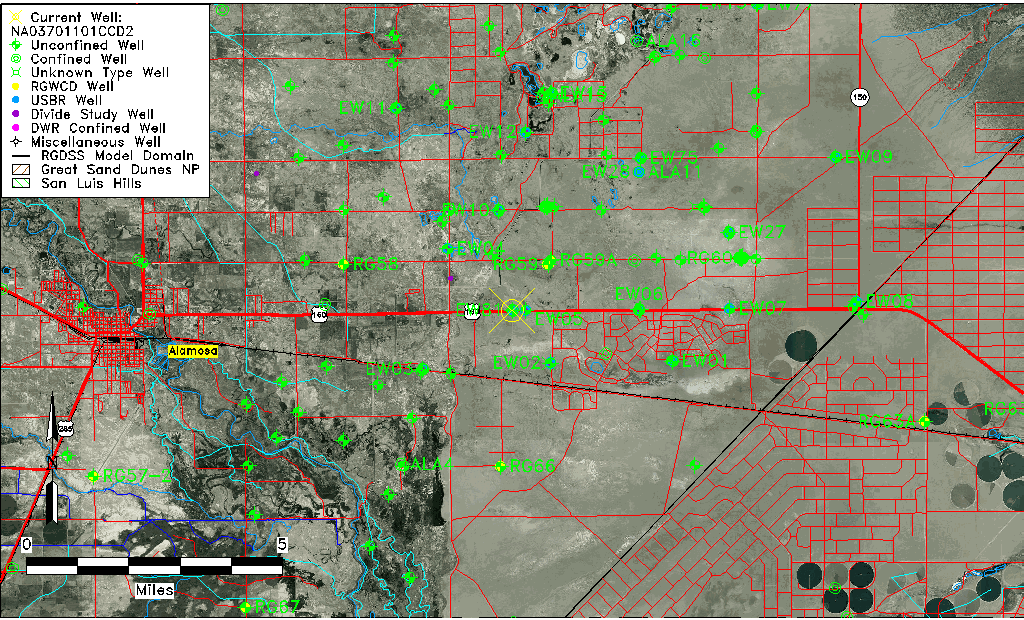
| Common Well ID | NA03701101CCD2 |
| USGS Well ID | 372829105433002 |
| USGS Station Name | NA03701101CCD2 |
| USGS Construction Date | 07/16/1977 |
| USGS Site Type | Well |
| USGS Site Use Information | Observation |
| USGS Groundwater Use Information | Unknown |
| Data Source(s) | USGS |
| Location Data |
|---|
| TRS | NA03701101CCD2 |
| USGS TRS 1 | NA03701101CCD2 |
| Longitude/Latitude (NAD83) | -105.72557360 , 37.47472779 |
| Longitude/Latitude Data Source | GWSI decimal LAT/LONG field |
| USGS Longitude/Latitude (NAD83) | -105.725573600 , 37.474727790 |
| Easting, Northing RGDSS-NAD83 (US ft) | 185061.47 , 174316.64 |
| USGS Topography | Valley flat |
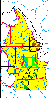
| USGS County | Alamosa County |
| USGS Map Name | BALDY |
| USGS Map Scale | 24000 |
| Elevation and Depth Data |
|---|
| Ground Elevation (ft NAVD88) | 7548.36 |
| Elevation Data Source | USGS GWSI database |
| USGS Ground Elevation (ft NGVD29) | 7544.30 |
| 1/3-Arc Second NED Ground Elevation (ft NAVD88) | 7549.17 |
| 1-Arc Second NED Ground Elevation (ft NAVD88) | 7548.73 |
| SRTM Ground Elevation (ft NAVD88) | 7558.78 |
| Total Depth (ft) | 9.00 |
| USGS Hole Depth (ft) | 9.00 |
| USGS Well Depth (ft) | 9.00 |
| Model Layer | 1 |
| Model Layer Source | Well Depth |
| Depth of Bottom of Layer 1 | 90 |
| Depth of Bottom of Layer 2 | 209 |
| Depth of Bottom of Layer 3 | 707 |
| Depth of Bottom of Layer 4 | 2498 |
| Additional Well Information | Construction |
| Aquifer Information |
|---|
| Aquifer Type | Unconfined |
| Aquifer Type Source | TD Elevation/Model Layer |
| USGS Hydrologic Unit | San Luis |
| USGS Data Available | Water-level (GW.LEV) |
| Water-level Database Information |
|---|
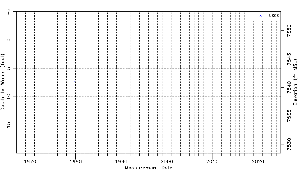
| Water-level Count | 1 |
| Water-level Date Range | 07/24/1979 thru 07/24/1979 |
| Monitored within the last 18 months | No, most recently on 07/24/1979 |
| Depth-to-Water Range (ft) | 7.45 to 7.45 |
| Water Table Elevation Range (ft NAVD88) | 7540.91 to 7540.91 |
| Water-Level-Source:Number-of-Measurements | USGS:1 |