| Well Information Table |
|---|
| Common Well ID | NA03801233CCC2 |
| USGS Well ID | 372840105404002 |
| USGS Station Name | NA03801233CCC2 |
| USGS Construction Date | 06/11/2002 |
| USGS Site Type | Well |
| USGS Site Use Information | Observation |
| USGS Groundwater Use Information | Unused |
| Data Source(s) | USGS |
| Location Data |
|---|
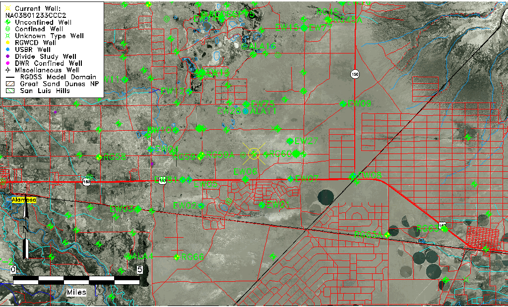
| TRS | NA03801233CCC2 |
| USGS TRS 1 | NA03801233CCC2 |
| Longitude/Latitude (NAD83) | -105.67418340 , 37.48972768 |
| Longitude/Latitude Data Source | GWSI decimal LAT/LONG field |
| USGS Longitude/Latitude (NAD83) | -105.674183400 , 37.489727680 |
| Easting, Northing RGDSS-NAD83 (US ft) | 199970.20 , 179771.97 |
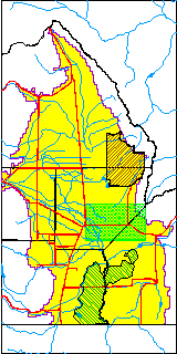
| USGS County | Alamosa County |
| USGS Map Name | BALDY |
| USGS Map Scale | 24000 |
| Elevation and Depth Data |
|---|
| Ground Elevation (ft NAVD88) | 7568.14 |
| Elevation Data Source | USGS GWSI database |
| USGS Ground Elevation (ft NGVD29) | 7564.00 |
| 1/3-Arc Second NED Ground Elevation (ft NAVD88) | 7569.11 |
| 1-Arc Second NED Ground Elevation (ft NAVD88) | 7568.41 |
| SRTM Ground Elevation (ft NAVD88) | 7562.46 |
| Total Depth (ft) | 29.00 |
| USGS Hole Depth (ft) | 29.00 |
| USGS Well Depth (ft) | 29.00 |
| Model Layer | 1 |
| Model Layer Source | Well Depth |
| Depth of Bottom of Layer 1 | 76 |
| Depth of Bottom of Layer 2 | 229 |
| Depth of Bottom of Layer 3 | 686 |
| Depth of Bottom of Layer 4 | 2172 |
| Additional Well Information | NONE |
| Aquifer Information |
|---|
| Aquifer Type | Unconfined |
| Aquifer Type Source | TD Elevation/Model Layer |
| USGS Hydrologic Unit | San Luis |
| USGS Data Available | Discharge (GW.DISC) |
| Water-level Database Information |
|---|
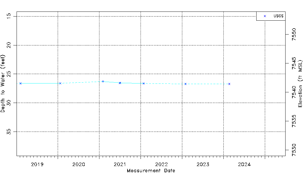
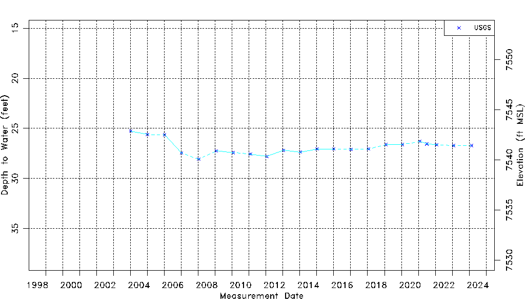
| Water-level Count | 23 |
| Water-level Date Range | 01/06/2004 thru 02/21/2024 |
| Monitored within the last 18 months | No, most recently on 02/21/2024 |
| Depth-to-Water Range (ft) | 25.27 to 28.08 |
| Water Table Elevation Range (ft NAVD88) | 7540.06 to 7542.87 |
| Water-Level-Source:Number-of-Measurements | USGS:23 |