| Well Information Table |
|---|
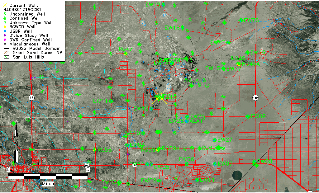
| Common Well ID | NA03801218CCB1 |
| USGS Well ID | 373211105423901 |
| USGS Station Name | NA03801218CCB1 |
| USGS Construction Date | 07/28/1977 |
| USGS Site Type | Well |
| USGS Site Use Information | Observation |
| USGS Groundwater Use Information | Unknown |
| Data Source(s) | USGS |
| Location Data |
|---|
| TRS | NA03801218CCB1 |
| USGS TRS 1 | NA03801218CCB1 |
| Longitude/Latitude (NAD83) | -105.71140650 , 37.53639316 |
| Longitude/Latitude Data Source | GWSI decimal LAT/LONG field |
| USGS Longitude/Latitude (NAD83) | -105.711406500 , 37.536393160 |
| Easting, Northing RGDSS-NAD83 (US ft) | 189181.24 , 196760.89 |
| USGS Topography | Valley flat |
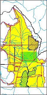
| USGS County | Alamosa County |
| USGS Map Name | DRY LAKES |
| Elevation and Depth Data |
|---|
| Ground Elevation (ft NAVD88) | 7515.67 |
| Elevation Data Source | USGS GWSI database |
| USGS Ground Elevation (ft NGVD29) | 7511.60 |
| 1/3-Arc Second NED Ground Elevation (ft NAVD88) | 7517.16 |
| 1-Arc Second NED Ground Elevation (ft NAVD88) | 7516.09 |
| SRTM Ground Elevation (ft NAVD88) | 7519.43 |
| Total Depth (ft) | 119.00 |
| USGS Hole Depth (ft) | 122.00 |
| USGS Well Depth (ft) | 119.00 |
| Model Layer | 2 |
| Model Layer Source | Well Depth |
| Depth of Bottom of Layer 1 | 20 |
| Depth of Bottom of Layer 2 | 271 |
| Depth of Bottom of Layer 3 | 846 |
| Depth of Bottom of Layer 4 | 2583 |
| Additional Well Information | Logs, Construction |
| Aquifer Information |
|---|
| Aquifer Type | Confined |
| Aquifer Type Source | TD Elevation/Model Layer |
| USGS Hydrologic Unit | San Luis |
| USGS Data Available | Miscellaneous (GW.MISC) |
| Water-level Database Information |
|---|
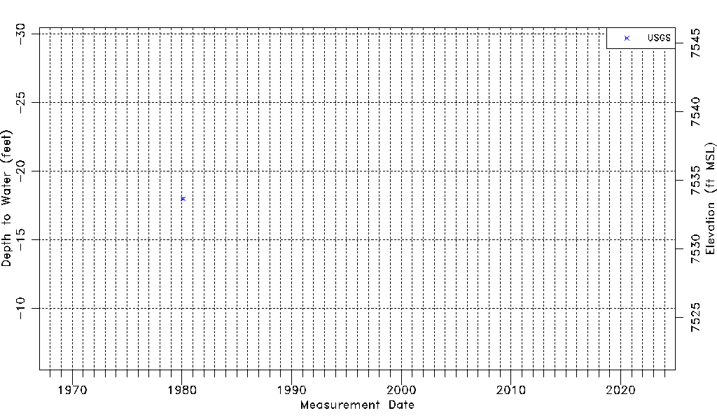
| Water-level Count | 1 |
| Water-level Date Range | 02/12/1980 thru 02/12/1980 |
| Monitored within the last 18 months | No, most recently on 02/12/1980 |
| Depth-to-Water Range (ft) | -18.00 to -18.00 |
| Water Table Elevation Range (ft NAVD88) | 7533.67 to 7533.67 |
| Water-Level-Source:Number-of-Measurements | USGS:1 |