| Well Information Table |
|---|
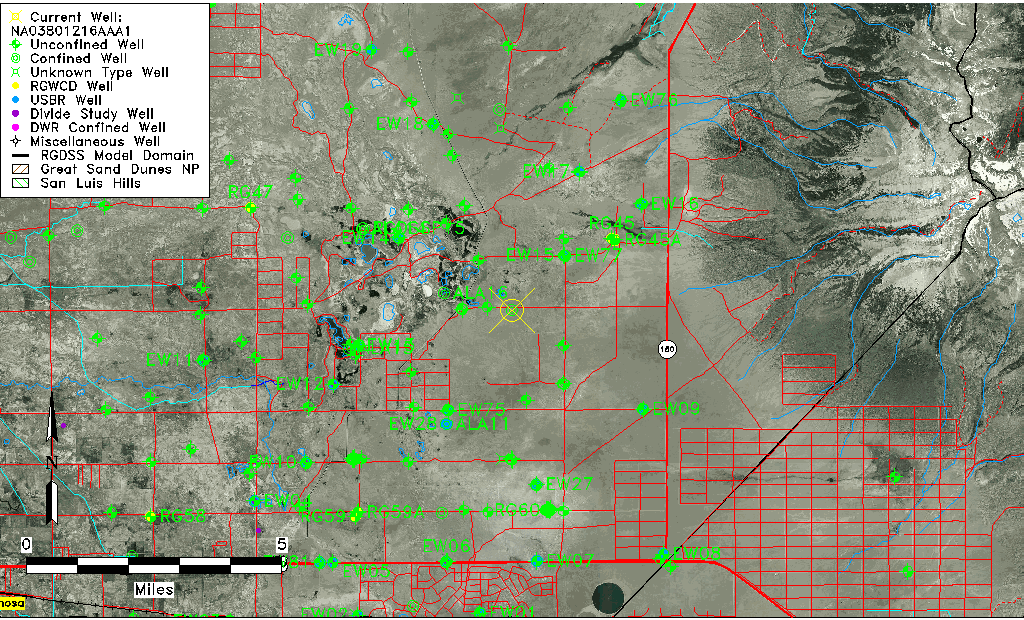
| Common Well ID | NA03801216AAA1 |
| USGS Well ID | 373247105382301 |
| USGS Station Name | NA03801216AAA1 |
| USGS Construction Date | 07/11/1979 |
| USGS Site Type | Well |
| USGS Site Use Information | Test |
| USGS Groundwater Use Information | Unused |
| Data Source(s) | USGS |
| Location Data |
|---|
| TRS | NA03801216AAA1 |
| USGS TRS 1 | NA03801216AAA1 |
| Longitude/Latitude (NAD83) | -105.65696060 , 37.54639324 |
| Longitude/Latitude Data Source | GWSI decimal LAT/LONG field |
| USGS Longitude/Latitude (NAD83) | -105.656960600 , 37.546393240 |
| Easting, Northing RGDSS-NAD83 (US ft) | 204962.73 , 200398.52 |
| USGS Topography | Valley flat |
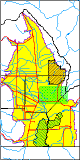
| USGS County | Alamosa County |
| USGS Map Name | DRY LAKES |
| USGS Map Scale | 24000 |
| Elevation and Depth Data |
|---|
| Ground Elevation (ft NAVD88) | 7552.14 |
| Elevation Data Source | USGS GWSI database |
| USGS Ground Elevation (ft NGVD29) | 7548.00 |
| 1/3-Arc Second NED Ground Elevation (ft NAVD88) | 7551.04 |
| 1-Arc Second NED Ground Elevation (ft NAVD88) | 7551.37 |
| SRTM Ground Elevation (ft NAVD88) | 7552.68 |
| Total Depth (ft) | 90.00 |
| USGS Hole Depth (ft) | 92.00 |
| USGS Well Depth (ft) | 90.00 |
| Model Layer | 2 |
| Model Layer Source | Well Depth |
| Depth of Bottom of Layer 1 | 67 |
| Depth of Bottom of Layer 2 | 368 |
| Depth of Bottom of Layer 3 | 849 |
| Depth of Bottom of Layer 4 | 2387 |
| Additional Well Information | Production, Construction |
| Aquifer Information |
|---|
| Aquifer Type | Confined |
| Aquifer Type Source | TD Elevation/Model Layer |
| USGS Primary Aquifer | 112ALMS |
| USGS Hydrologic Unit | San Luis |
| USGS Data Available | Water-level (GW.LEV) |
| Water-level Database Information |
|---|
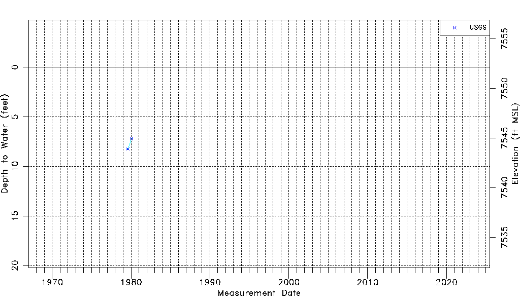
| Water-level Count | 2 |
| Water-level Date Range | 07/30/1979 thru 01/30/1980 |
| Monitored within the last 18 months | No, most recently on 01/30/1980 |
| Depth-to-Water Range (ft) | 7.20 to 8.25 |
| Water Table Elevation Range (ft NAVD88) | 7543.89 to 7544.94 |
| Water-Level-Source:Number-of-Measurements | USGS:2 |