| Well Information Table |
|---|
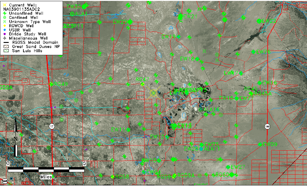
| Common Well ID | NA03901135ADC2 |
| USGS Well ID | 373401105441102 |
| USGS Station Name | NA03901135ADC2 |
| USGS Construction Date | 11/01/1968 |
| USGS Site Type | Well |
| USGS Site Use Information | Observation |
| USGS Groundwater Use Information | Unused |
| Data Source(s) | USGS |
| Location Data |
|---|
| TRS | NA03901135ADC2 |
| USGS TRS 1 | NA03901135ADC2 |
| Longitude/Latitude (NAD83) | -105.73696270 , 37.56694796 |
| Longitude/Latitude Data Source | GWSI decimal LAT/LONG field |
| USGS Longitude/Latitude (NAD83) | -105.736962700 , 37.566947960 |
| Easting, Northing RGDSS-NAD83 (US ft) | 181781.32 , 207887.32 |
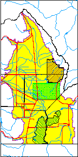
| USGS County | Alamosa County |
| Elevation and Depth Data |
|---|
| Ground Elevation (ft NAVD88) | 7519.47 |
| Elevation Data Source | USGS GWSI database |
| USGS Ground Elevation (ft NGVD29) | 7515.46 |
| 1/3-Arc Second NED Ground Elevation (ft NAVD88) | 7528.34 |
| 1-Arc Second NED Ground Elevation (ft NAVD88) | 7525.98 |
| SRTM Ground Elevation (ft NAVD88) | 7536.26 |
| Total Depth (ft) | 36.60 |
| USGS Well Depth (ft) | 36.60 |
| Model Layer | 2 |
| Model Layer Source | Well Depth |
| Depth of Bottom of Layer 1 | 24 |
| Depth of Bottom of Layer 2 | 341 |
| Depth of Bottom of Layer 3 | 915 |
| Depth of Bottom of Layer 4 | 2767 |
| Additional Well Information | Construction |
| Aquifer Information |
|---|
| Aquifer Type | Confined |
| Aquifer Type Source | TD Elevation/Model Layer |
| USGS Hydrologic Unit | San Luis |
| USGS Data Available | Miscellaneous (GW.MISC) |
| Water-level Database Information |
|---|
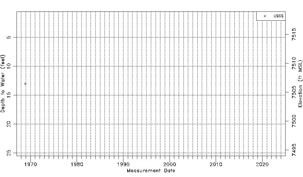
| Water-level Count | 1 |
| Water-level Date Range | 11/21/1968 thru 11/21/1968 |
| Monitored within the last 18 months | No, most recently on 11/21/1968 |
| Depth-to-Water Range (ft) | 13.01 to 13.01 |
| Water Table Elevation Range (ft NAVD88) | 7506.46 to 7506.46 |
| Water-Level-Source:Number-of-Measurements | USGS:1 |