| Well Information Table |
|---|
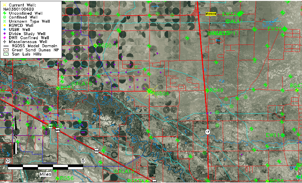
| Common Well ID | NA03801006BB |
| USGS Well ID | 373426105553301 |
| USGS Station Name | NA03801006BB |
| USGS Construction Date | 11/01/1949 |
| USGS Site Type | Well |
| USGS Site Use Information | Test |
| USGS Groundwater Use Information | Unknown |
| Data Source(s) | USGS |
| Location Data |
|---|
| TRS | NA03801006BB |
| USGS TRS 1 | NA03801006BB |
| Longitude/Latitude (NAD83) | -105.92641160 , 37.57389136 |
| Longitude/Latitude Data Source | GWSI decimal LAT/LONG field |
| USGS Longitude/Latitude (NAD83) | -105.926411600 , 37.573891360 |
| Easting, Northing RGDSS-NAD83 (US ft) | 126894.88 , 210509.71 |
| USGS Topography | Valley flat |
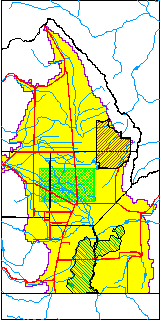
| USGS County | Alamosa County |
| USGS Map Name | MOUNT PLEASANT SCH |
| USGS Map Scale | 24000 |
| Elevation and Depth Data |
|---|
| Ground Elevation (ft NAVD88) | 7571.83 |
| Elevation Data Source | USGS GWSI database |
| USGS Ground Elevation (ft NGVD29) | 7567.91 |
| 1/3-Arc Second NED Ground Elevation (ft NAVD88) | 7570.42 |
| 1-Arc Second NED Ground Elevation (ft NAVD88) | 7569.68 |
| SRTM Ground Elevation (ft NAVD88) | 7578.71 |
| Total Depth (ft) | 40.00 |
| USGS Hole Depth (ft) | 53.00 |
| USGS Well Depth (ft) | 40.00 |
| Model Layer | 1 |
| Model Layer Source | Well Depth |
| Depth of Bottom of Layer 1 | 83 |
| Depth of Bottom of Layer 2 | 364 |
| Depth of Bottom of Layer 3 | 827 |
| Depth of Bottom of Layer 4 | 1979 |
| Additional Well Information | Production, Logs, Construction |
| Aquifer Information |
|---|
| Aquifer Type | Unconfined |
| Aquifer Type Source | TD Elevation/Model Layer |
| USGS Hydrologic Unit | San Luis |
| USGS Data Available | Water-level (GW.LEV) |
| Water-level Database Information |
|---|
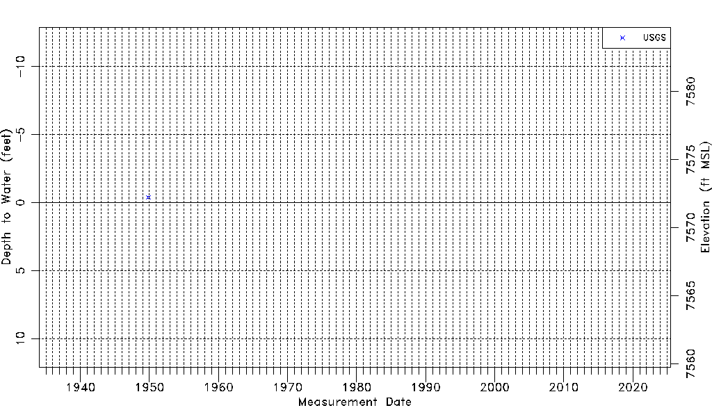
| Water-level Count | 1 |
| Water-level Date Range | 11/03/1949 thru 11/03/1949 |
| Monitored within the last 18 months | No, most recently on 11/03/1949 |
| Depth-to-Water Range (ft) | -0.40 to -0.40 |
| Water Table Elevation Range (ft NAVD88) | 7572.23 to 7572.23 |
| Water-Level-Source:Number-of-Measurements | USGS:1 |