| Well Information Table |
|---|
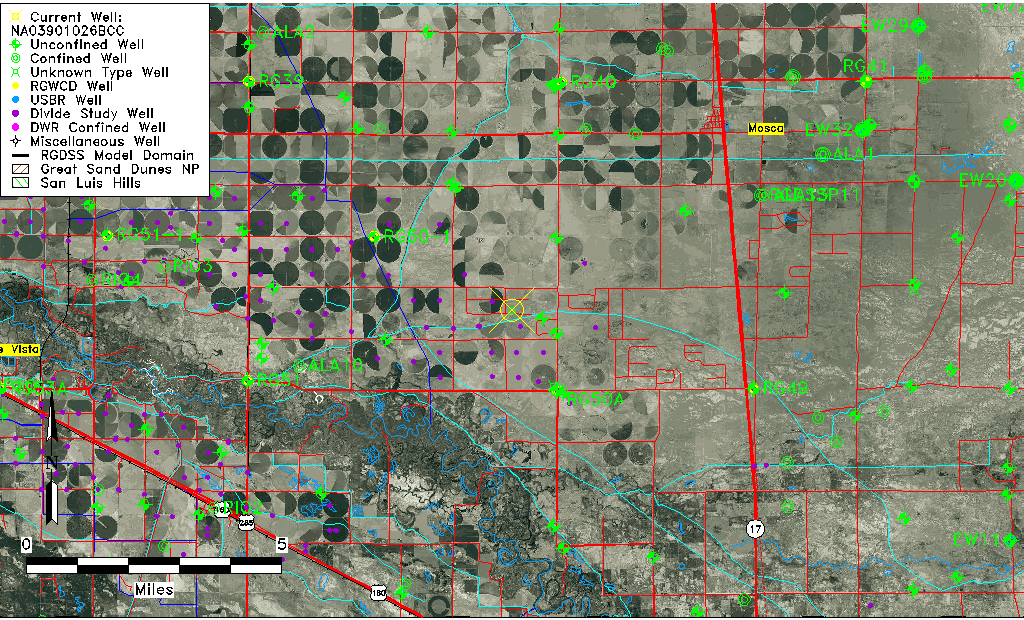
| Common Well ID | NA03901026BCC |
| USGS Well ID | 373550105563901 |
| USGS Station Name | NA03901026BCC |
| USGS Site Type | Well |
| USGS Site Use Information | Unused |
| USGS Groundwater Use Information | Unused |
| Data Source(s) | USGS |
| Location Data |
|---|
| TRS | NA03901026BCC |
| USGS TRS 1 | NA03901026BCC |
| USGS TRS | SWNWS25 T39N R09E N |
| Longitude/Latitude (NAD83) | -105.94474520 , 37.59722424 |
| Longitude/Latitude Data Source | GWSI decimal LAT/LONG field |
| USGS Longitude/Latitude (NAD83) | -105.944745200 , 37.597224240 |
| Easting, Northing RGDSS-NAD83 (US ft) | 121608.02 , 219018.39 |
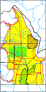
| USGS County | Alamosa County |
| USGS Map Name | MOUNT PLEASANT SCHOO |
| USGS Map Scale | 24000 |
| Elevation and Depth Data |
|---|
| Ground Elevation (ft NAVD88) | 7577.00 |
| Elevation Data Source | USGS GWSI database |
| USGS Ground Elevation (ft NAVD88) | 7577.00 |
| 1/3-Arc Second NED Ground Elevation (ft NAVD88) | 7578.67 |
| 1-Arc Second NED Ground Elevation (ft NAVD88) | 7577.54 |
| SRTM Ground Elevation (ft NAVD88) | 7585.30 |
| Depth of Bottom of Layer 1 | 84 |
| Depth of Bottom of Layer 2 | 284 |
| Depth of Bottom of Layer 3 | 792 |
| Depth of Bottom of Layer 4 | 1800 |
| Additional Well Information | Construction |
| Aquifer Information |
|---|
| Aquifer Type | Unknown |
| Aquifer Type Source | None |
| USGS Hydrologic Unit | San Luis |
| USGS Data Available | Miscellaneous (GW.MISC) |
| Water-level Database Information |
|---|
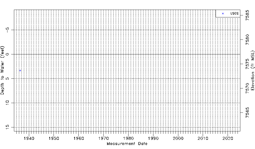
| Water-level Count | 1 |
| Water-level Date Range | 06/24/1936 thru 06/24/1936 |
| Monitored within the last 18 months | No, most recently on 06/24/1936 |
| Depth-to-Water Range (ft) | 3.33 to 3.33 |
| Water Table Elevation Range (ft NAVD88) | 7573.67 to 7573.67 |
| Water-Level-Source:Number-of-Measurements | USGS:1 |