| Well Information Table |
|---|
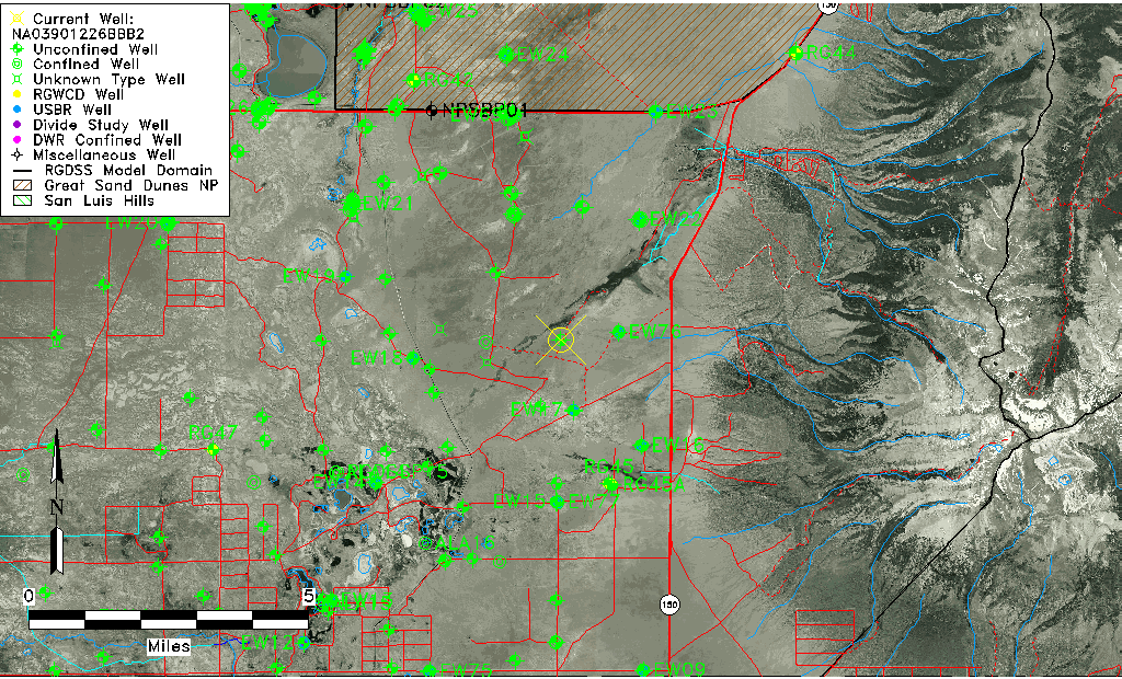
| Common Well ID | NA03901226BBB2 |
| USGS Well ID | 373614105381102 |
| USGS Station Name | NA03901226BBB2 |
| USGS Construction Date | 03/17/1978 |
| USGS Site Type | Well |
| USGS Site Use Information | Observation |
| USGS Groundwater Use Information | Unknown |
| Data Source(s) | USGS |
| Location Data |
|---|
| TRS | NA03901226BBB2 |
| USGS TRS 1 | NA03901226BBB2 |
| Longitude/Latitude (NAD83) | -105.63695990 , 37.60389218 |
| Longitude/Latitude Data Source | GWSI decimal LAT/LONG field |
| USGS Longitude/Latitude (NAD83) | -105.636959900 , 37.603892180 |
| Easting, Northing RGDSS-NAD83 (US ft) | 210752.26 , 221329.71 |
| USGS Topography | Valley flat |
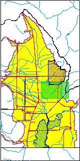
| USGS County | Alamosa County |
| USGS Map Name | DRY LAKES |
| USGS Map Scale | 24000 |
| Elevation and Depth Data |
|---|
| Ground Elevation (ft NAVD88) | 7574.29 |
| Elevation Data Source | USGS GWSI database |
| USGS Ground Elevation (ft NGVD29) | 7570.10 |
| 1/3-Arc Second NED Ground Elevation (ft NAVD88) | 7574.16 |
| 1-Arc Second NED Ground Elevation (ft NAVD88) | 7575.12 |
| SRTM Ground Elevation (ft NAVD88) | 7575.46 |
| Total Depth (ft) | 6.40 |
| USGS Hole Depth (ft) | 6.40 |
| USGS Well Depth (ft) | 6.40 |
| Model Layer | 1 |
| Model Layer Source | Well Depth |
| Depth of Bottom of Layer 1 | 116 |
| Depth of Bottom of Layer 2 | 510 |
| Depth of Bottom of Layer 3 | 1068 |
| Depth of Bottom of Layer 4 | 2661 |
| Additional Well Information | Construction |
| Aquifer Information |
|---|
| Aquifer Type | Unconfined |
| Aquifer Type Source | TD Elevation/Model Layer |
| USGS Hydrologic Unit | San Luis |
| USGS Data Available | Miscellaneous (GW.MISC) |
| Water-level Database Information |
|---|
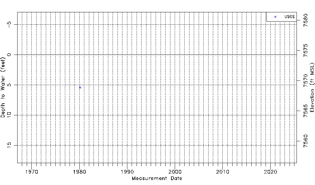
| Water-level Count | 1 |
| Water-level Date Range | 03/04/1980 thru 03/04/1980 |
| Monitored within the last 18 months | No, most recently on 03/04/1980 |
| Depth-to-Water Range (ft) | 5.42 to 5.42 |
| Water Table Elevation Range (ft NAVD88) | 7568.87 to 7568.87 |
| Water-Level-Source:Number-of-Measurements | USGS:1 |