| Well Information Table |
|---|
| Common Well ID | NA03900924AAA |
| USGS Well ID | 373704105554201 |
| USGS Station Name | NA03900924AAA |
| USGS Construction Date | 10/27/1949 |
| USGS Site Type | Well |
| USGS Site Use Information | Test |
| USGS Groundwater Use Information | Unknown |
| Data Source(s) | USGS |
| Location Data |
|---|
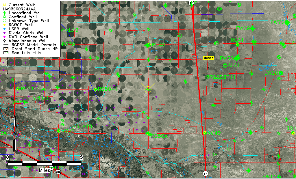
| TRS | NA03900924AAA |
| USGS TRS 1 | NA03900924AAA |
| Longitude/Latitude (NAD83) | -105.92891150 , 37.61777950 |
| Longitude/Latitude Data Source | GWSI decimal LAT/LONG field |
| USGS Longitude/Latitude (NAD83) | -105.928911500 , 37.617779500 |
| Easting, Northing RGDSS-NAD83 (US ft) | 126214.83 , 226487.82 |
| USGS Topography | Valley flat |
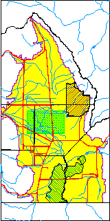
| USGS County | Alamosa County |
| USGS Map Name | MOUNT PLEASANT SCH |
| USGS Map Scale | 24000 |
| Elevation and Depth Data |
|---|
| Ground Elevation (ft NAVD88) | 7569.21 |
| Elevation Data Source | USGS GWSI database |
| USGS Ground Elevation (ft NGVD29) | 7565.29 |
| 1/3-Arc Second NED Ground Elevation (ft NAVD88) | 7572.24 |
| 1-Arc Second NED Ground Elevation (ft NAVD88) | 7571.93 |
| SRTM Ground Elevation (ft NAVD88) | 7569.22 |
| Total Depth (ft) | 40.00 |
| USGS Hole Depth (ft) | 48.00 |
| USGS Well Depth (ft) | 40.00 |
| Model Layer | 1 |
| Model Layer Source | Well Depth |
| Depth of Bottom of Layer 1 | 84 |
| Depth of Bottom of Layer 2 | 243 |
| Depth of Bottom of Layer 3 | 795 |
| Depth of Bottom of Layer 4 | 1754 |
| Additional Well Information | Production, Logs, Construction |
| Aquifer Information |
|---|
| Aquifer Type | Unconfined |
| Aquifer Type Source | TD Elevation/Model Layer |
| USGS Hydrologic Unit | San Luis |
| USGS Data Available | Discharge (GW.DISC) |
| Water-level Database Information |
|---|
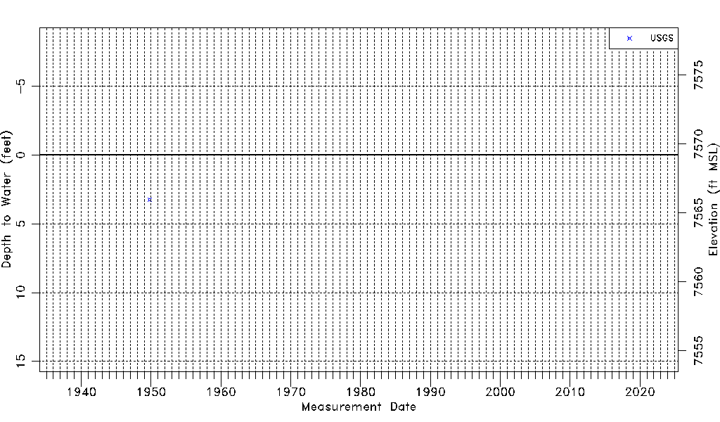
| Water-level Count | 1 |
| Water-level Date Range | 10/31/1949 thru 10/31/1949 |
| Monitored within the last 18 months | No, most recently on 10/31/1949 |
| Depth-to-Water Range (ft) | 3.24 to 3.24 |
| Water Table Elevation Range (ft NAVD88) | 7565.97 to 7565.97 |
| Water-Level-Source:Number-of-Measurements | USGS:1 |