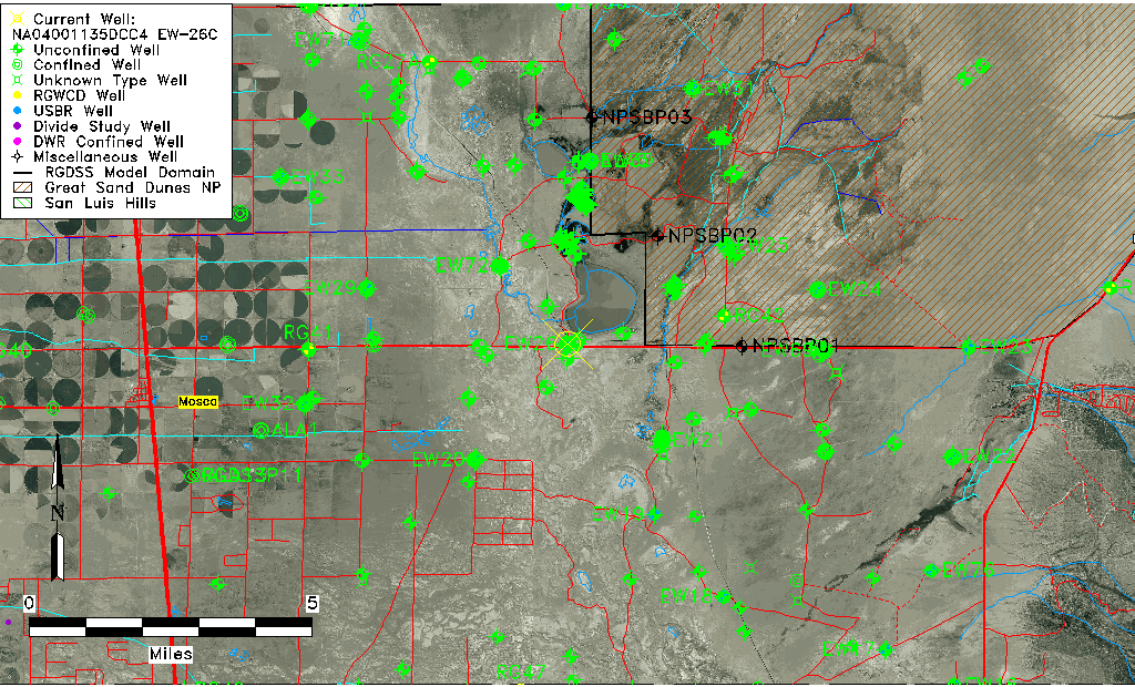
| Well Information Table |
|---|
| Common Well ID | NA04001135DCC4 EW-26C |
| USBR Well ID | EW26C |
| USGS Well ID | 373950105440502 |
| GSDNP Well Name | 373950105440502 |
| USGS Station Name | NA04001135DCC4 EW-26C |
| USGS Construction Date | 10/10/1980 |
| USGS Site Type | Well |
| USGS Site Use Information | Observation |
| USGS Groundwater Use Information | Unused |
| Data Source(s) | USGS, USBR |
| Location Data |
|---|
| TRS | NA04001135DCC4 EW-26C |
| USBR TRS | NA04001135DCC4 |
| USGS TRS 1 | NA04001135DCC4 EW-26C |
| Longitude/Latitude (NAD83) | -105.73528157 , 37.66391476 |
| Longitude/Latitude Data Source | USBOR EW well locations |
| USGS Longitude/Latitude (NAD83) | -105.735295900 , 37.663890440 |
| USBR Longitude/Latitude (NAD27) | -105.734707938650 , 37.6639132064826 |
| Easting, Northing RGDSS-NAD83 (US ft) | 182293.52 , 243183.89 |
| USGS Topography | Valley flat |
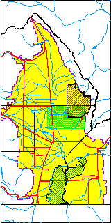
| USGS County | Saguache County |
| USGS Map Name | MEDANO RANCH |
| USGS Map Scale | 24000 |
| Elevation and Depth Data |
|---|
| Ground Elevation (ft NAVD88) | 7527.65 |
| Elevation Data Source | USBOR EW well database |
| USBR Ground Elevation (ft NGVD29) | 7523.6 |
| USGS Ground Elevation (ft NGVD29) | 7523.60 |
| 1/3-Arc Second NED Ground Elevation (ft NAVD88) | 7527.92 |
| 1-Arc Second NED Ground Elevation (ft NAVD88) | 7527.32 |
| SRTM Ground Elevation (ft NAVD88) | 7526.64 |
| Total Depth (ft) | 145.00 |
| USBR Total Depth (ft) | 145 |
| USGS Hole Depth (ft) | 145.00 |
| USGS Well Depth (ft) | 145.00 |
| Model Layer | 2 |
| Model Layer Source | Well Depth |
| Depth of Bottom of Layer 1 | 131 |
| Depth of Bottom of Layer 2 | 483 |
| Depth of Bottom of Layer 3 | 1630 |
| Depth of Bottom of Layer 4 | 3232 |
| Additional Well Information | Logs, Construction |
| Aquifer Information |
|---|
| Aquifer Type | Confined |
| Aquifer Type Source | EW_AQFR |
| USGS Hydrologic Unit | San Luis |
| USGS Data Available | Water-level (GW.LEV) |
| Water-level Database Information |
|---|
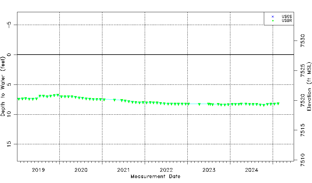
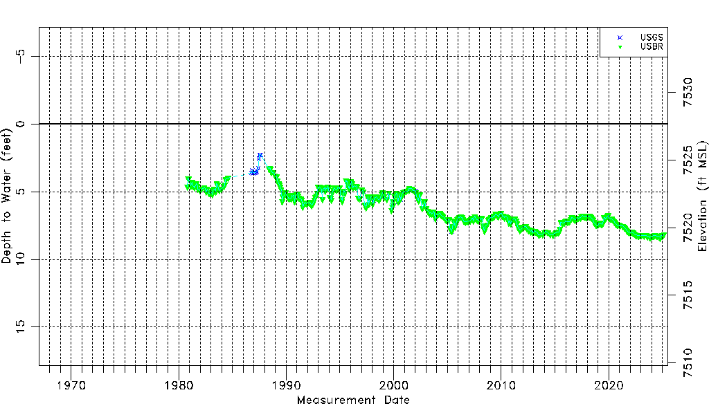
| Water-level Count | 470 |
| Water-level Date Range | 10/20/1980 thru 09/15/2025 |
| Monitored within the last 18 months | Yes, most recently on 09/15/2025 |
| Depth-to-Water Range (ft) | 2.27 to 8.47 |
| Water Table Elevation Range (ft NAVD88) | 7519.18 to 7525.38 |
| Water-Level-Source:Number-of-Measurements | USGS:37 USBR:452 |