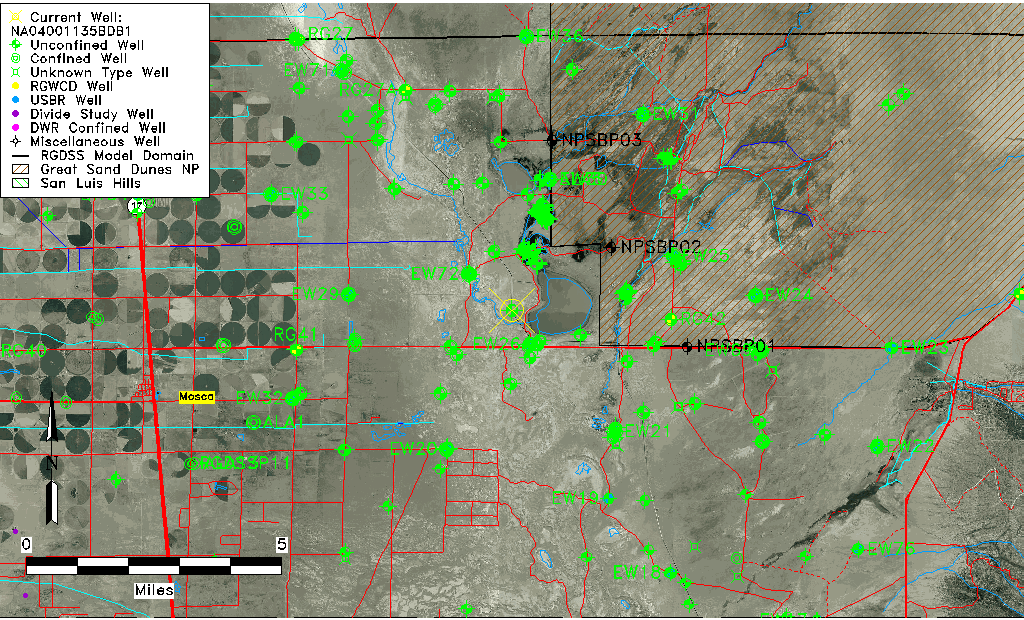
| Well Information Table |
|---|
| Common Well ID | NA04001135BDB1 |
| USGS Well ID | 374025105442801 |
| GSDNP Well Name | 374025105442801 |
| USGS Station Name | NA04001135BDB1 |
| USGS Construction Date | 01/01/1980 |
| USGS Site Type | Well |
| USGS Site Use Information | Observation |
| USGS Groundwater Use Information | Unused |
| Data Source(s) | USGS |
| Location Data |
|---|
| TRS | NA04001135BDB1 |
| USGS TRS 1 | NA04001135BDB1 |
| Longitude/Latitude (NAD83) | -105.74168490 , 37.67361240 |
| Longitude/Latitude Data Source | GWSI decimal LAT/LONG field |
| USGS Longitude/Latitude (NAD83) | -105.741684900 , 37.673612400 |
| Easting, Northing RGDSS-NAD83 (US ft) | 180443.35 , 246715.36 |
| USGS Topography | Valley flat |
| USGS County | Alamosa County |
| USGS Map Name | MEDANO RANCH |
| USGS Map Scale | 24000 |
| Elevation and Depth Data |
|---|
| Ground Elevation (ft NAVD88) | 7519.03 |
| Elevation Data Source | USGS GWSI database |
| USGS Ground Elevation (ft NGVD29) | 7515.00 |
| 1/3-Arc Second NED Ground Elevation (ft NAVD88) | 7535.30 |
| 1-Arc Second NED Ground Elevation (ft NAVD88) | 7529.38 |
| SRTM Ground Elevation (ft NAVD88) | 7535.86 |
| Total Depth (ft) | 20.00 |
| USGS Well Depth (ft) | 20.00 |
| Model Layer | 1 |
| Model Layer Source | Well Depth |
| Depth of Bottom of Layer 1 | 124 |
| Depth of Bottom of Layer 2 | 450 |
| Depth of Bottom of Layer 3 | 1620 |
| Depth of Bottom of Layer 4 | 3040 |
| Additional Well Information | Construction |
| Aquifer Information |
|---|
| Aquifer Type | Unconfined |
| Aquifer Type Source | TD Elevation/Model Layer |
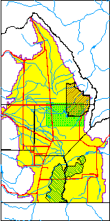
| USGS Hydrologic Unit | San Luis |
| USGS Data Available | Miscellaneous (GW.MISC) |
| Water-level Database Information |
|---|
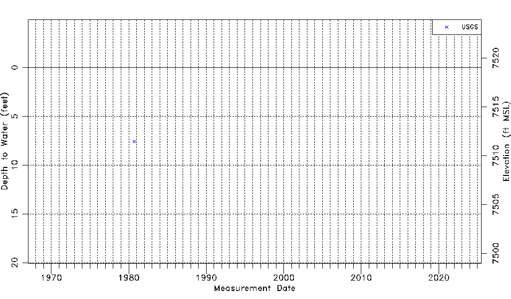
| Water-level Count | 1 |
| Water-level Date Range | 09/11/1980 thru 09/11/1980 |
| Monitored within the last 18 months | No, most recently on 09/11/1980 |
| Depth-to-Water Range (ft) | 7.57 to 7.57 |
| Water Table Elevation Range (ft NAVD88) | 7511.46 to 7511.46 |
| Water-Level-Source:Number-of-Measurements | USGS:1 |