| Well Information Table |
|---|
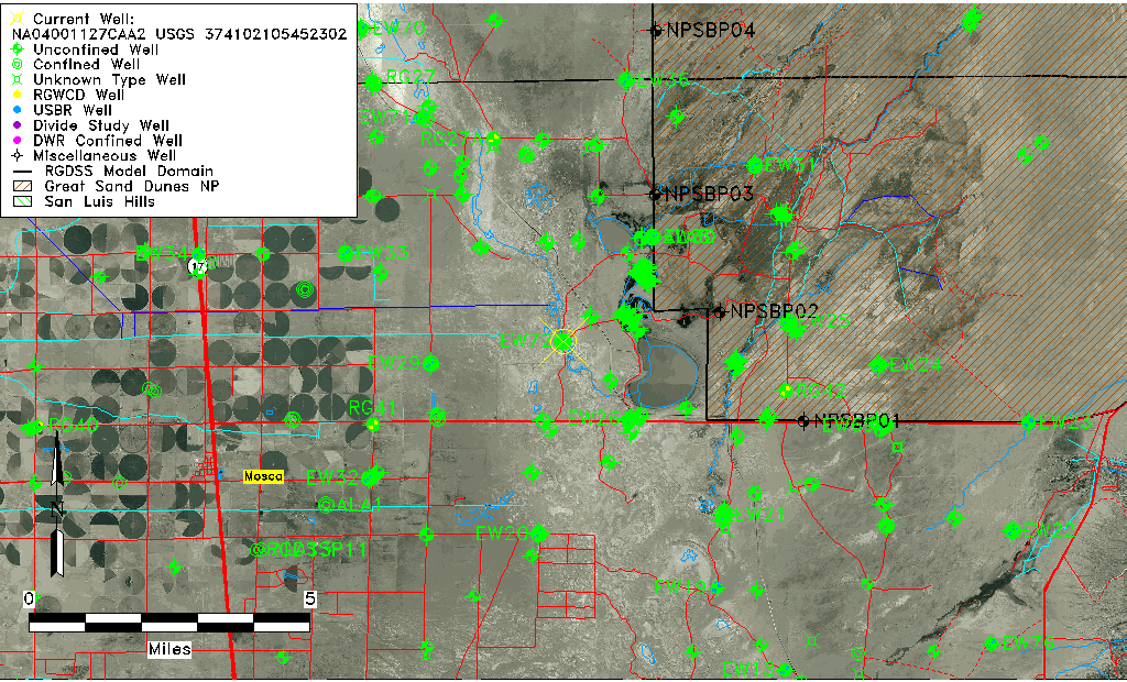
| Common Well ID | NA04001127CAA2 USGS 374102105452302 |
| USGS Well ID | 374102105452302 |
| GSDNP Well Name | 374102105452302 |
| USGS Station Name | NA04001127CAA2 USGS 374102105452302 |
| USGS Construction Date | 08/01/1981 |
| USGS Site Type | Well |
| USGS Site Use Information | Observation |
| USGS Groundwater Use Information | Unknown |
| Data Source(s) | USGS |
| Location Data |
|---|
| TRS | NA04001127CAA2 USGS 374102105452302 |
| USGS TRS 1 | NA04001127CAA2 USGS 374102105452302 |
| Longitude/Latitude (NAD83) | -105.75696300 , 37.68388994 |
| Longitude/Latitude Data Source | GWSI decimal LAT/LONG field |
| USGS Longitude/Latitude (NAD83) | -105.756963000 , 37.683889940 |
| Easting, Northing RGDSS-NAD83 (US ft) | 176026.42 , 250460.39 |
| USGS Topography | Valley flat |
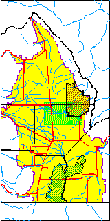
| USGS County | Alamosa County |
| USGS Map Name | HOOPER EAST |
| USGS Map Scale | 24000 |
| Elevation and Depth Data |
|---|
| Ground Elevation (ft NAVD88) | 7528.97 |
| Elevation Data Source | USGS GWSI database |
| USGS Ground Elevation (ft NGVD29) | 7524.97 |
| 1/3-Arc Second NED Ground Elevation (ft NAVD88) | 7528.90 |
| 1-Arc Second NED Ground Elevation (ft NAVD88) | 7529.13 |
| SRTM Ground Elevation (ft NAVD88) | 7538.92 |
| Total Depth (ft) | 142.00 |
| USGS Hole Depth (ft) | 142.00 |
| USGS Well Depth (ft) | 142.00 |
| Model Layer | 2 |
| Model Layer Source | Well Depth |
| Depth of Bottom of Layer 1 | 126 |
| Depth of Bottom of Layer 2 | 403 |
| Depth of Bottom of Layer 3 | 1582 |
| Depth of Bottom of Layer 4 | 2657 |
| Additional Well Information | Construction |
| Aquifer Information |
|---|
| Aquifer Type | Confined |
| Aquifer Type Source | TD Elevation/Model Layer |
| USGS Hydrologic Unit | San Luis |
| USGS Data Available | Miscellaneous (GW.MISC) |
| Water-level Database Information |
|---|
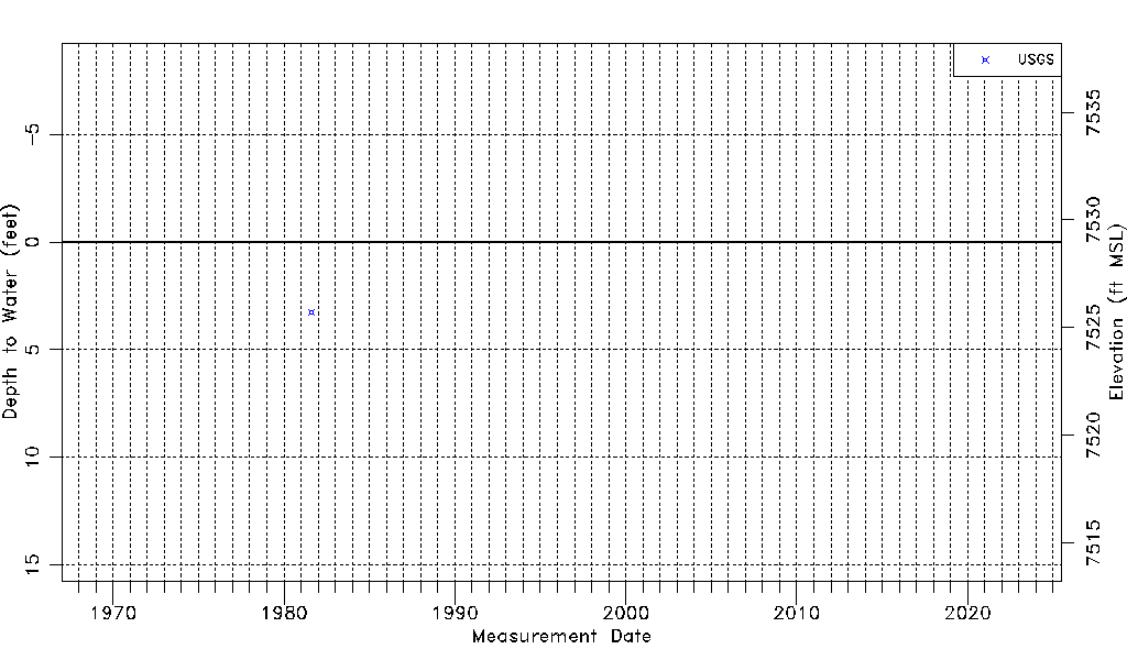
| Water-level Count | 1 |
| Water-level Date Range | 08/13/1981 thru 08/13/1981 |
| Monitored within the last 18 months | No, most recently on 08/13/1981 |
| Depth-to-Water Range (ft) | 3.25 to 3.25 |
| Water Table Elevation Range (ft NAVD88) | 7525.72 to 7525.72 |
| Water-Level-Source:Number-of-Measurements | USGS:1 |