| Well Information Table |
|---|
| Common Well ID | NA04001229BAD1 |
| USGS Well ID | 374120105410201 |
| GSDNP Well Name | 374120105410201 |
| USGS Station Name | NA04001229BAD1 |
| USGS Construction Date | 12/29/1977 |
| USGS Site Type | Well |
| USGS Site Use Information | Observation |
| USGS Groundwater Use Information | Unknown |
| Data Source(s) | USGS |
| Location Data |
|---|
| TRS | NA04001229BAD1 |
| USGS TRS 1 | NA04001229BAD1 |
| Longitude/Latitude (NAD83) | -105.68390550 , 37.68944575 |
| Longitude/Latitude Data Source | GWSI decimal LAT/LONG field |
| USGS Longitude/Latitude (NAD83) | -105.683905500 , 37.689445750 |
| Easting, Northing RGDSS-NAD83 (US ft) | 197161.93 , 252470.84 |
| USGS Topography | Valley flat |
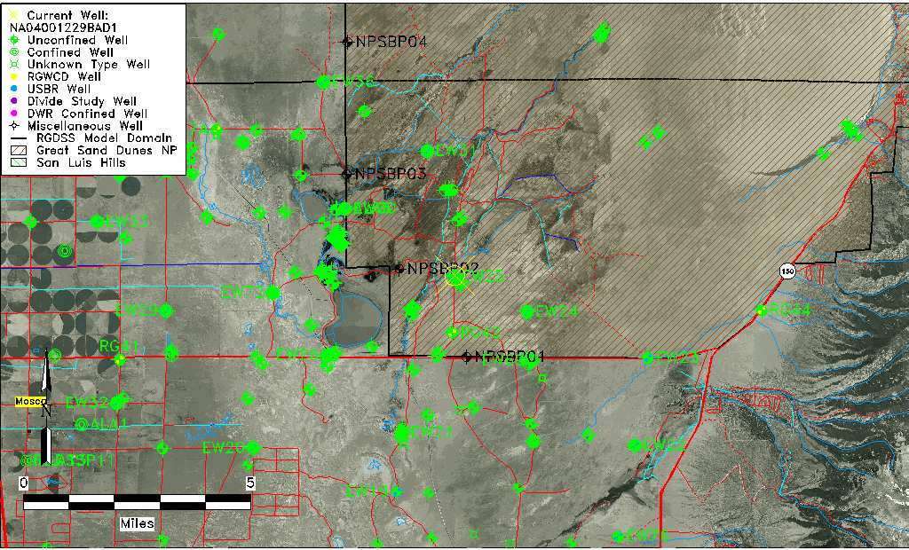
| USGS County | Alamosa County |
| USGS Map Name | MEDANO RANCH |
| USGS Map Scale | 24000 |
| Elevation and Depth Data |
|---|
| Ground Elevation (ft NAVD88) | 7541.54 |
| Elevation Data Source | USGS GWSI database |
| USGS Ground Elevation (ft NGVD29) | 7537.40 |
| 1/3-Arc Second NED Ground Elevation (ft NAVD88) | 7542.60 |
| 1-Arc Second NED Ground Elevation (ft NAVD88) | 7541.64 |
| SRTM Ground Elevation (ft NAVD88) | 7552.70 |
| Total Depth (ft) | 90.00 |
| USGS Hole Depth (ft) | 90.00 |
| USGS Well Depth (ft) | 90.00 |
| Model Layer | 1 |
| Model Layer Source | Well Depth |
| Depth of Bottom of Layer 1 | 184 |
| Depth of Bottom of Layer 2 | 501 |
| Depth of Bottom of Layer 3 | 1648 |
| Depth of Bottom of Layer 4 | 4251 |
| Additional Well Information | Logs, Construction |
| Aquifer Information |
|---|
| Aquifer Type | Unconfined |
| Aquifer Type Source | TD Elevation/Model Layer |
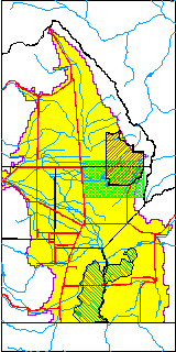
| USGS Hydrologic Unit | San Luis |
| USGS Data Available | Water-level (GW.LEV) |
| Water-level Database Information |
|---|
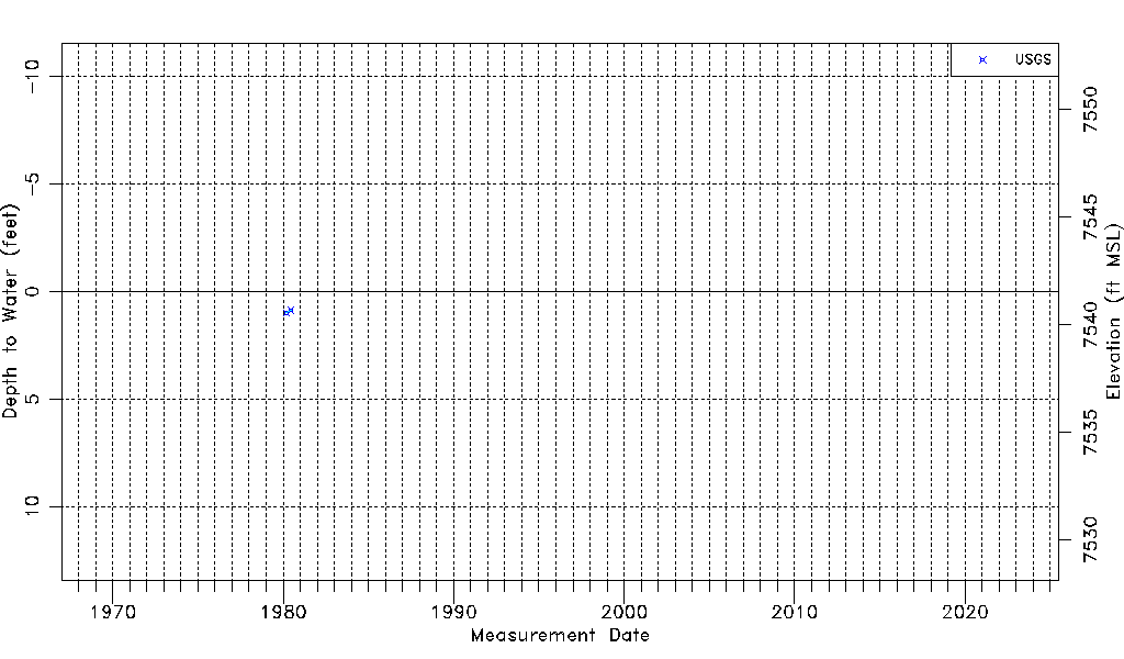
| Water-level Count | 2 |
| Water-level Date Range | 03/05/1980 thru 06/19/1980 |
| Monitored within the last 18 months | No, most recently on 06/19/1980 |
| Depth-to-Water Range (ft) | 0.87 to 0.99 |
| Water Table Elevation Range (ft NAVD88) | 7540.55 to 7540.67 |
| Water-Level-Source:Number-of-Measurements | USGS:2 |