| Well Information Table |
|---|
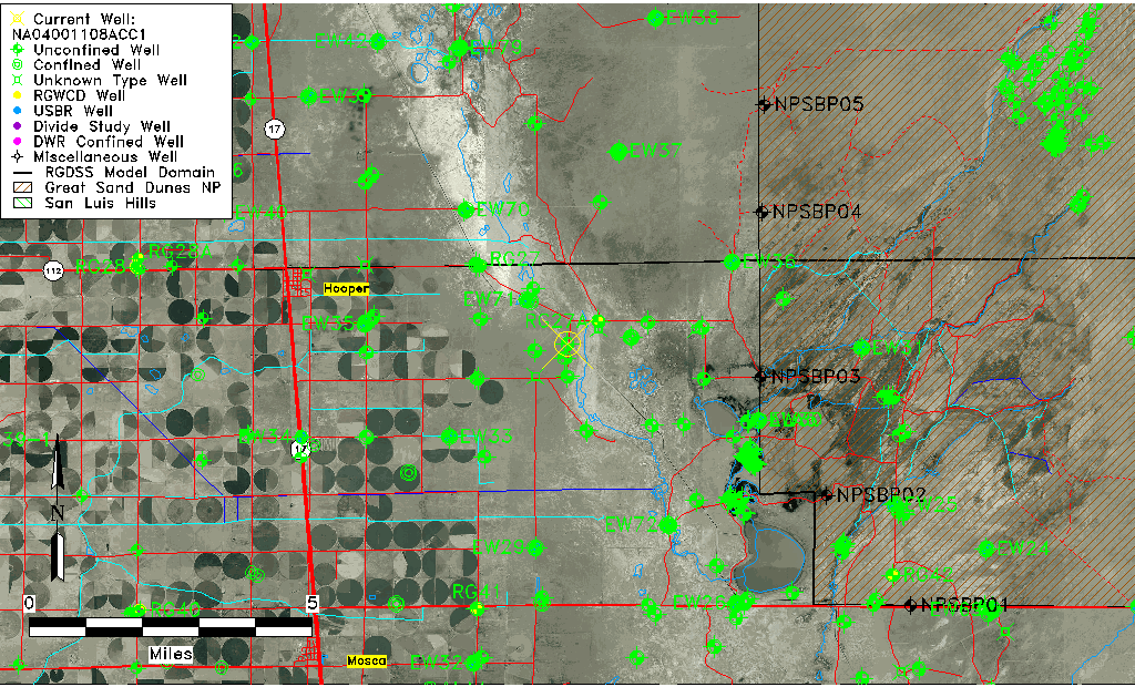
| Common Well ID | NA04001108ACC1 |
| USGS Well ID | 374349105472101 |
| GSDNP Well Name | 374349105472101 |
| USGS Station Name | NA04001108ACC1 |
| USGS Site Type | Well |
| USGS Site Use Information | Observation |
| USGS Groundwater Use Information | Unused |
| Data Source(s) | USGS |
| Location Data |
|---|
| TRS | NA04001108ACC1 |
| USGS TRS 1 | NA04001108ACC1 |
| Longitude/Latitude (NAD83) | -105.78974140 , 37.73027786 |
| Longitude/Latitude Data Source | GWSI decimal LAT/LONG field |
| USGS Longitude/Latitude (NAD83) | -105.789741400 , 37.730277860 |
| Easting, Northing RGDSS-NAD83 (US ft) | 166565.83 , 267357.16 |
| USGS Topography | Valley flat |
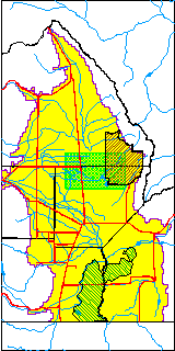
| USGS County | Alamosa County |
| USGS Map Name | HOOPER E. |
| USGS Map Scale | 24000 |
| Elevation and Depth Data |
|---|
| Ground Elevation (ft NAVD88) | 7536.96 |
| Elevation Data Source | USGS GWSI database |
| USGS Ground Elevation (ft NGVD29) | 7533.00 |
| 1/3-Arc Second NED Ground Elevation (ft NAVD88) | 7536.58 |
| 1-Arc Second NED Ground Elevation (ft NAVD88) | 7536.93 |
| SRTM Ground Elevation (ft NAVD88) | 7536.32 |
| Total Depth (ft) | 39.00 |
| USGS Well Depth (ft) | 39.00 |
| Model Layer | 1 |
| Model Layer Source | Well Depth |
| Depth of Bottom of Layer 1 | 110 |
| Depth of Bottom of Layer 2 | 334 |
| Depth of Bottom of Layer 3 | 1539 |
| Depth of Bottom of Layer 4 | 2578 |
| Additional Well Information | Construction |
| Aquifer Information |
|---|
| Aquifer Type | Unconfined |
| Aquifer Type Source | TD Elevation/Model Layer |
| USGS Aquifer Type | Unconfined Single Aquifer |
| USGS Hydrologic Unit | San Luis |
| USGS Data Available | Miscellaneous (GW.MISC) |
| Water-level Database Information |
|---|
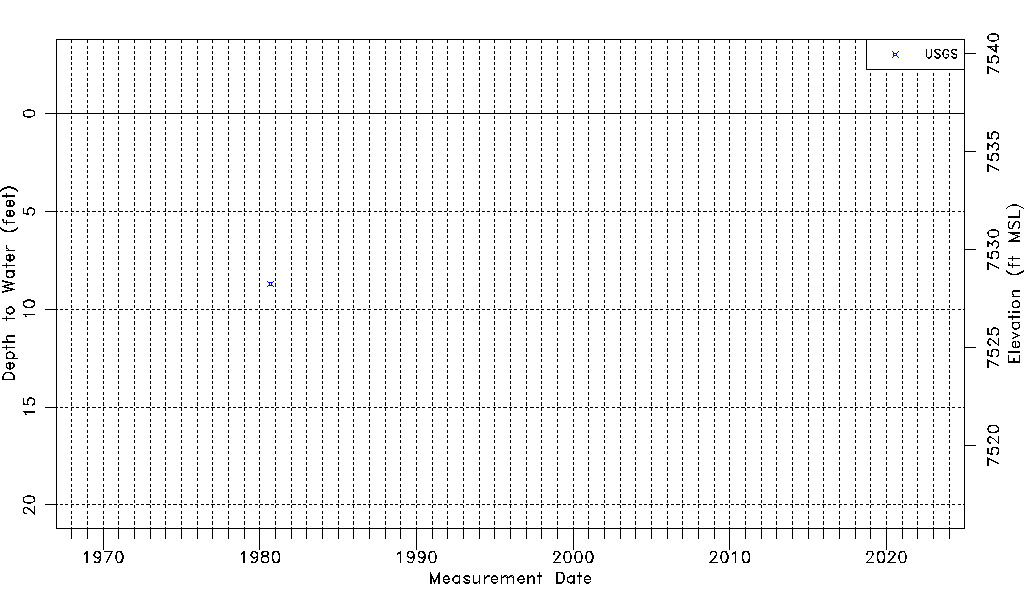
| Water-level Count | 1 |
| Water-level Date Range | 09/12/1980 thru 09/12/1980 |
| Monitored within the last 18 months | No, most recently on 09/12/1980 |
| Depth-to-Water Range (ft) | 8.70 to 8.70 |
| Water Table Elevation Range (ft NAVD88) | 7528.26 to 7528.26 |
| Water-Level-Source:Number-of-Measurements | USGS:1 |