| Well Information Table |
|---|
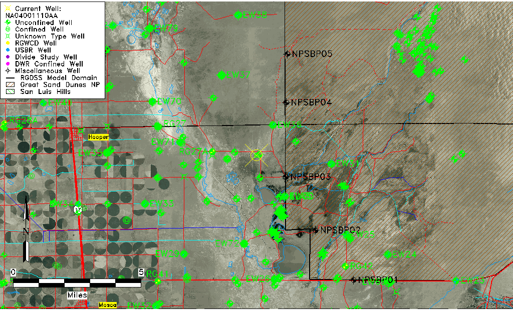
| Common Well ID | NA04001110AA |
| USGS Well ID | 374403105445201 |
| GSDNP Well Name | 374403105445201 |
| USGS Station Name | NA04001110AA |
| USGS Site Type | Well |
| USGS Site Use Information | Test |
| USGS Groundwater Use Information | Unknown |
| Data Source(s) | USGS |
| Location Data |
|---|
| TRS | NA04001110AA |
| USGS TRS 1 | NA04001110AA |
| Longitude/Latitude (NAD83) | -105.74835160 , 37.73416670 |
| Longitude/Latitude Data Source | GWSI decimal LAT/LONG field |
| USGS Longitude/Latitude (NAD83) | -105.748351600 , 37.734166700 |
| Easting, Northing RGDSS-NAD83 (US ft) | 178533.53 , 268759.70 |
| USGS Topography | Valley flat |
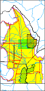
| USGS County | Alamosa County |
| USGS Map Name | MEDANO RANCH |
| USGS Map Scale | 24000 |
| Elevation and Depth Data |
|---|
| Ground Elevation (ft NAVD88) | 7537.34 |
| Elevation Data Source | USGS GWSI database |
| USGS Ground Elevation (ft NGVD29) | 7533.29 |
| 1/3-Arc Second NED Ground Elevation (ft NAVD88) | 7537.20 |
| 1-Arc Second NED Ground Elevation (ft NAVD88) | 7536.04 |
| SRTM Ground Elevation (ft NAVD88) | 7546.36 |
| USGS Hole Depth (ft) | 202.00 |
| Depth of Bottom of Layer 1 | 115 |
| Depth of Bottom of Layer 2 | 392 |
| Depth of Bottom of Layer 3 | 1587 |
| Depth of Bottom of Layer 4 | 3065 |
| Additional Well Information | Production, Logs, Construction |
| Aquifer Information |
|---|
| Aquifer Type | Unknown |
| Aquifer Type Source | None |
| USGS Primary Aquifer | 112ALMS |
| USGS Hydrologic Unit | San Luis |
| USGS Data Available | Discharge (GW.DISC) |
| Water-level Database Information |
|---|
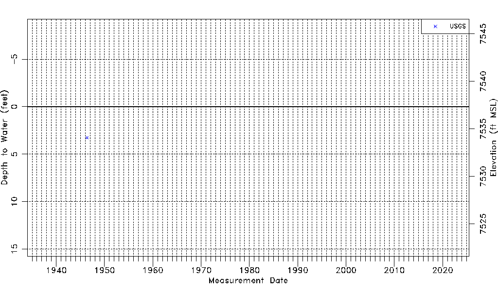
| Water-level Count | 1 |
| Water-level Date Range | 05/27/1946 thru 05/27/1946 |
| Monitored within the last 18 months | No, most recently on 05/27/1946 |
| Depth-to-Water Range (ft) | 3.26 to 3.26 |
| Water Table Elevation Range (ft NAVD88) | 7534.08 to 7534.08 |
| Water-Level-Source:Number-of-Measurements | USGS:1 |