| Well Information Table |
|---|
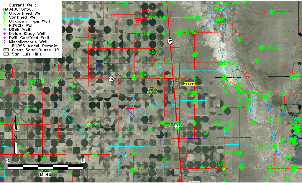
| Common Well ID | NA04001005CC |
| USGS Well ID | 374412105542401 |
| USGS Station Name | NA04001005CC |
| USGS Construction Date | 10/05/1946 |
| USGS Site Type | Well |
| USGS Site Use Information | Test |
| USGS Groundwater Use Information | Unknown |
| Data Source(s) | USGS |
| Location Data |
|---|
| TRS | NA04001005CC |
| USGS TRS 1 | NA04001005CC |
| Longitude/Latitude (NAD83) | -105.90724390 , 37.73666650 |
| Longitude/Latitude Data Source | GWSI decimal LAT/LONG field |
| USGS Longitude/Latitude (NAD83) | -105.907243900 , 37.736666500 |
| Easting, Northing RGDSS-NAD83 (US ft) | 132599.53 , 269748.72 |
| USGS Topography | Valley flat |
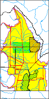
| USGS County | Alamosa County |
| USGS Map Name | HOOPER WEST |
| USGS Map Scale | 24000 |
| Elevation and Depth Data |
|---|
| Ground Elevation (ft NAVD88) | 7569.98 |
| Elevation Data Source | USGS GWSI database |
| USGS Ground Elevation (ft NGVD29) | 7566.11 |
| 1/3-Arc Second NED Ground Elevation (ft NAVD88) | 7570.40 |
| 1-Arc Second NED Ground Elevation (ft NAVD88) | 7569.39 |
| SRTM Ground Elevation (ft NAVD88) | 7572.18 |
| Total Depth (ft) | 39.30 |
| USGS Hole Depth (ft) | 112.00 |
| USGS Well Depth (ft) | 39.30 |
| Model Layer | 1 |
| Model Layer Source | Well Depth |
| Depth of Bottom of Layer 1 | 106 |
| Depth of Bottom of Layer 2 | 221 |
| Depth of Bottom of Layer 3 | 1205 |
| Depth of Bottom of Layer 4 | 2684 |
| Additional Well Information | Production, Logs, Construction |
| Aquifer Information |
|---|
| Aquifer Type | Unconfined |
| Aquifer Type Source | TD Elevation/Model Layer |
| USGS Hydrologic Unit | San Luis |
| USGS Data Available | Discharge (GW.DISC) |
| Water-level Database Information |
|---|
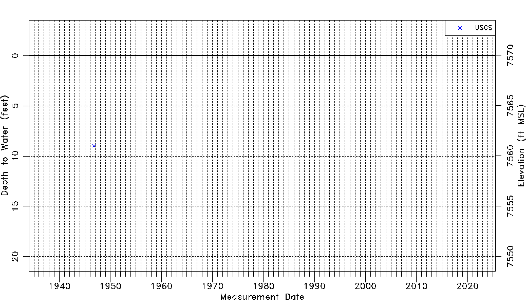
| Water-level Count | 1 |
| Water-level Date Range | 10/08/1946 thru 10/08/1946 |
| Monitored within the last 18 months | No, most recently on 10/08/1946 |
| Depth-to-Water Range (ft) | 8.96 to 8.96 |
| Water Table Elevation Range (ft NAVD88) | 7561.02 to 7561.02 |
| Water-Level-Source:Number-of-Measurements | USGS:1 |