| Well Information Table |
|---|
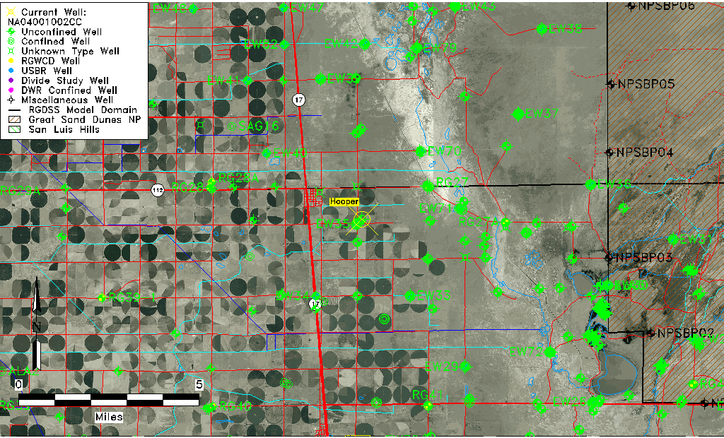
| Common Well ID | NA04001002CC |
| USGS Well ID | 374414105510601 |
| GSDNP Well Name | 374414105510601 |
| USGS Station Name | NA04001002CC |
| USGS Construction Date | 04/01/1919 |
| USGS Site Type | Well |
| USGS Site Use Information | Test |
| USGS Groundwater Use Information | Unknown |
| Data Source(s) | USGS |
| Location Data |
|---|
| TRS | NA04001002CC |
| USGS TRS 1 | NA04001002CC |
| Longitude/Latitude (NAD83) | -105.85224270 , 37.73722210 |
| Longitude/Latitude Data Source | GWSI decimal LAT/LONG field |
| USGS Longitude/Latitude (NAD83) | -105.852242700 , 37.737222100 |
| Easting, Northing RGDSS-NAD83 (US ft) | 148500.56 , 269914.78 |
| USGS Topography | Valley flat |
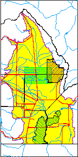
| USGS County | Alamosa County |
| USGS Map Name | HOOPER EAST |
| USGS Map Scale | 24000 |
| Elevation and Depth Data |
|---|
| Ground Elevation (ft NAVD88) | 7548.86 |
| Elevation Data Source | USGS GWSI database |
| USGS Ground Elevation (ft NGVD29) | 7545.00 |
| 1/3-Arc Second NED Ground Elevation (ft NAVD88) | 7548.76 |
| 1-Arc Second NED Ground Elevation (ft NAVD88) | 7547.40 |
| SRTM Ground Elevation (ft NAVD88) | 7549.70 |
| Total Depth (ft) | 83.20 |
| USGS Hole Depth (ft) | 211.00 |
| USGS Well Depth (ft) | 83.20 |
| Model Layer | 1 |
| Model Layer Source | Well Depth |
| Depth of Bottom of Layer 1 | 100 |
| Depth of Bottom of Layer 2 | 254 |
| Depth of Bottom of Layer 3 | 1353 |
| Depth of Bottom of Layer 4 | 2504 |
| Additional Well Information | Production, Logs |
| Aquifer Information |
|---|
| Aquifer Type | Unconfined |
| Aquifer Type Source | TD Elevation/Model Layer |
| USGS Hydrologic Unit | San Luis |
| USGS Data Available | Discharge (GW.DISC) |
| Water-level Database Information |
|---|
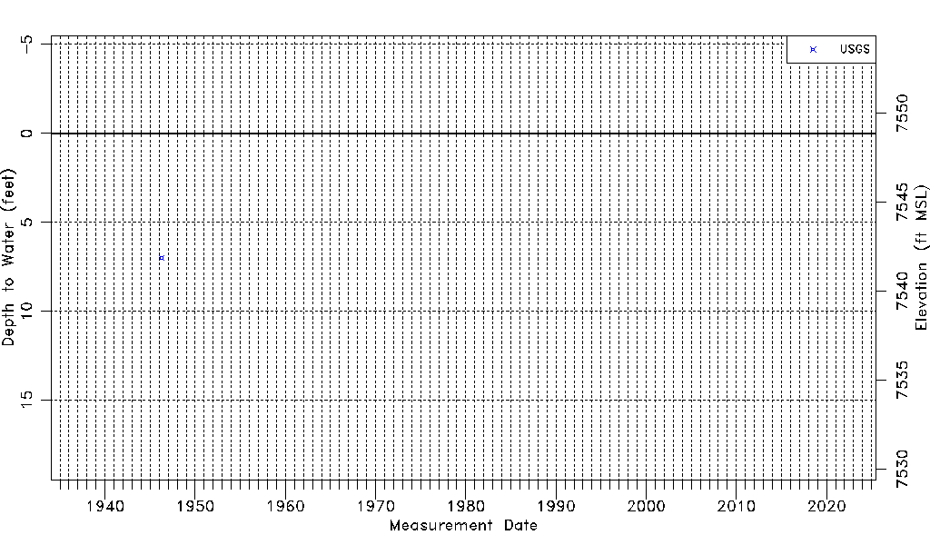
| Water-level Count | 1 |
| Water-level Date Range | 04/11/1946 thru 04/11/1946 |
| Monitored within the last 18 months | No, most recently on 04/11/1946 |
| Depth-to-Water Range (ft) | 6.99 to 6.99 |
| Water Table Elevation Range (ft NAVD88) | 7541.87 to 7541.87 |
| Water-Level-Source:Number-of-Measurements | USGS:1 |