| Well Information Table |
|---|
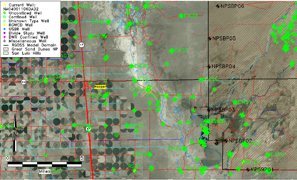
| Common Well ID | NA04001106DAD2 |
| USGS Well ID | 374428105480402 |
| GSDNP Well Name | 374428105480402 |
| USGS Station Name | NA04001106DAD2 |
| USGS Construction Date | 01/04/1978 |
| USGS Site Type | Well |
| USGS Site Use Information | Observation |
| USGS Groundwater Use Information | Unknown |
| Data Source(s) | USGS |
| Location Data |
|---|
| TRS | NA04001106DAD2 |
| USGS TRS 1 | NA04001106DAD2 |
| Longitude/Latitude (NAD83) | -105.80168610 , 37.74111097 |
| Longitude/Latitude Data Source | GWSI decimal LAT/LONG field |
| USGS Longitude/Latitude (NAD83) | -105.801686100 , 37.741110970 |
| Easting, Northing RGDSS-NAD83 (US ft) | 163118.09 , 271305.39 |
| USGS Topography | Valley flat |
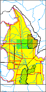
| USGS County | Alamosa County |
| USGS Map Name | HOOPER EAST |
| USGS Map Scale | 24000 |
| Elevation and Depth Data |
|---|
| Ground Elevation (ft NAVD88) | 7535.74 |
| Elevation Data Source | USGS GWSI database |
| USGS Ground Elevation (ft NGVD29) | 7531.80 |
| 1/3-Arc Second NED Ground Elevation (ft NAVD88) | 7536.21 |
| 1-Arc Second NED Ground Elevation (ft NAVD88) | 7536.17 |
| SRTM Ground Elevation (ft NAVD88) | 7542.87 |
| Total Depth (ft) | 5.40 |
| USGS Hole Depth (ft) | 5.40 |
| USGS Well Depth (ft) | 5.40 |
| Model Layer | 2 |
| Model Layer Source | Dunes Layer |
| Depth of Bottom of Layer 1 | 103 |
| Depth of Bottom of Layer 2 | 311 |
| Depth of Bottom of Layer 3 | 1506 |
| Depth of Bottom of Layer 4 | 2614 |
| Additional Well Information | Construction |
| Aquifer Information |
|---|
| Aquifer Type | Confined |
| Aquifer Type Source | TD Elevation/Model Layer |
| USGS Hydrologic Unit | San Luis |
| USGS Data Available | Water-level (GW.LEV) |
| Water-level Database Information |
|---|
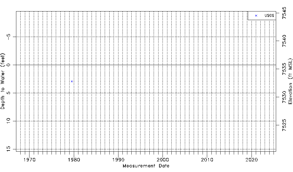
| Water-level Count | 1 |
| Water-level Date Range | 07/27/1979 thru 07/27/1979 |
| Monitored within the last 18 months | No, most recently on 07/27/1979 |
| Depth-to-Water Range (ft) | 2.93 to 2.93 |
| Water Table Elevation Range (ft NAVD88) | 7532.81 to 7532.81 |
| Water-Level-Source:Number-of-Measurements | USGS:1 |