| Well Information Table |
|---|
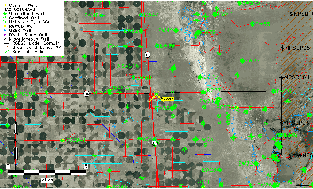
| Common Well ID | NA0400104AAB |
| USGS Well ID | 374453105523001 |
| GSDNP Well Name | 374453105523001 |
| USGS Station Name | NA0400104AAB |
| USGS Site Type | Well |
| USGS Site Use Information | Observation |
| USGS Groundwater Use Information | Unused |
| Data Source(s) | USGS |
| Location Data |
|---|
| TRS | NA0400104AAB |
| USGS TRS 1 | NA0400104AAB |
| Longitude/Latitude (NAD83) | -105.87363200 , 37.74805524 |
| Longitude/Latitude Data Source | GWSI decimal LAT/LONG field |
| USGS Longitude/Latitude (NAD83) | -105.873632000 , 37.748055240 |
| Easting, Northing RGDSS-NAD83 (US ft) | 142325.78 , 273871.28 |
| USGS Topography | Valley flat |
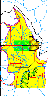
| USGS County | Alamosa County |
| USGS Map Name | HOOPER WEST |
| USGS Map Scale | 24000 |
| Elevation and Depth Data |
|---|
| Ground Elevation (ft NAVD88) | 7556.86 |
| Elevation Data Source | USGS GWSI database |
| USGS Ground Elevation (ft NGVD29) | 7553.00 |
| 1/3-Arc Second NED Ground Elevation (ft NAVD88) | 7554.30 |
| 1-Arc Second NED Ground Elevation (ft NAVD88) | 7553.71 |
| SRTM Ground Elevation (ft NAVD88) | 7562.34 |
| Depth of Bottom of Layer 1 | 106 |
| Depth of Bottom of Layer 2 | 241 |
| Depth of Bottom of Layer 3 | 1317 |
| Depth of Bottom of Layer 4 | 2721 |
| Additional Well Information | NONE |
| Aquifer Information |
|---|
| Aquifer Type | Unknown |
| Aquifer Type Source | None |
| USGS Hydrologic Unit | San Luis |
| USGS Data Available | Water-level (GW.LEV) |
| Water-level Database Information |
|---|
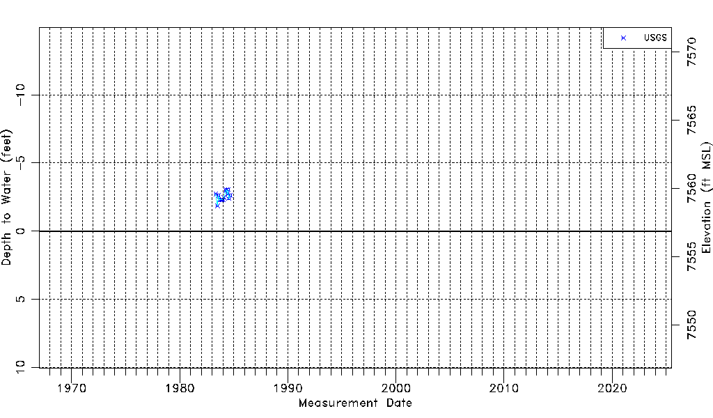
| Water-level Count | 15 |
| Water-level Date Range | 05/05/1983 thru 09/06/1984 |
| Monitored within the last 18 months | No, most recently on 09/06/1984 |
| Depth-to-Water Range (ft) | -3.05 to -1.86 |
| Water Table Elevation Range (ft NAVD88) | 7558.72 to 7559.91 |
| Water-Level-Source:Number-of-Measurements | USGS:15 |