| Well Information Table |
|---|
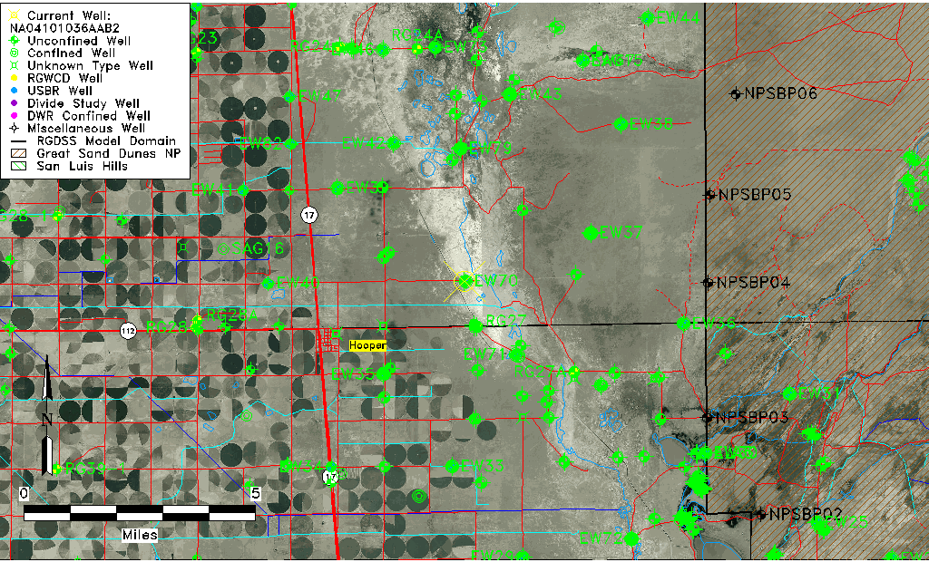
| Common Well ID | NA04101036AAB2 |
| USGS Well ID | 374552105492102 |
| GSDNP Well Name | 374552105492102 |
| USGS Station Name | NA04101036AAB2 |
| USGS Construction Date | 01/09/1978 |
| USGS Site Type | Well |
| USGS Site Use Information | Observation |
| USGS Groundwater Use Information | Unknown |
| Data Source(s) | USGS |
| Location Data |
|---|
| TRS | NA04101036AAB2 |
| USGS TRS 1 | NA04101036AAB2 |
| Longitude/Latitude (NAD83) | -105.82307500 , 37.76444409 |
| Longitude/Latitude Data Source | GWSI decimal LAT/LONG field |
| USGS Longitude/Latitude (NAD83) | -105.823075000 , 37.764444090 |
| Easting, Northing RGDSS-NAD83 (US ft) | 156949.29 , 279808.81 |
| USGS Topography | Valley flat |
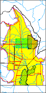
| USGS County | Saguache County |
| USGS Map Name | DEADMAN CAMP |
| USGS Map Scale | 24000 |
| Elevation and Depth Data |
|---|
| Ground Elevation (ft NAVD88) | 7536.21 |
| Elevation Data Source | USGS GWSI database |
| USGS Ground Elevation (ft NGVD29) | 7532.30 |
| 1/3-Arc Second NED Ground Elevation (ft NAVD88) | 7534.78 |
| 1-Arc Second NED Ground Elevation (ft NAVD88) | 7536.06 |
| SRTM Ground Elevation (ft NAVD88) | 7549.22 |
| Total Depth (ft) | 5.00 |
| USGS Hole Depth (ft) | 5.00 |
| USGS Well Depth (ft) | 5.00 |
| Model Layer | 1 |
| Model Layer Source | Dunes Layer |
| Depth of Bottom of Layer 1 | 96 |
| Depth of Bottom of Layer 2 | 274 |
| Depth of Bottom of Layer 3 | 1513 |
| Depth of Bottom of Layer 4 | 2905 |
| Additional Well Information | Construction |
| Aquifer Information |
|---|
| Aquifer Type | Unconfined |
| Aquifer Type Source | TD Elevation/Model Layer |
| USGS Hydrologic Unit | San Luis |
| USGS Data Available | Water-level (GW.LEV) |
| Water-level Database Information |
|---|
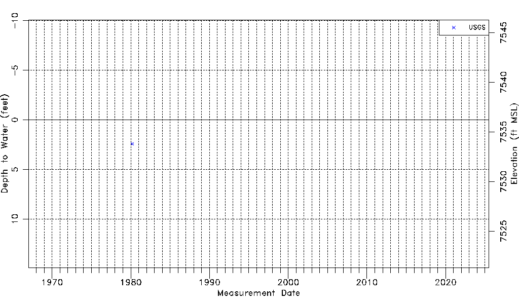
| Water-level Count | 1 |
| Water-level Date Range | 03/07/1980 thru 03/07/1980 |
| Monitored within the last 18 months | No, most recently on 03/07/1980 |
| Depth-to-Water Range (ft) | 2.41 to 2.41 |
| Water Table Elevation Range (ft NAVD88) | 7533.80 to 7533.80 |
| Water-Level-Source:Number-of-Measurements | USGS:1 |