| Well Information Table |
|---|
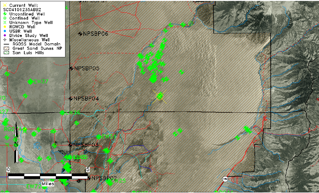
| Common Well ID | SC04101235ABB2 |
| USGS Well ID | 374557105372901 |
| GSDNP Well Name | 374557105372901 |
| USGS Station Name | SC04101235ABB2 |
| USGS Site Type | Well |
| USGS Site Use Information | Observation |
| USGS Groundwater Use Information | Unused |
| Data Source(s) | USGS, HRS |
| Location Data |
|---|
| TRS | SC04101235ABB2 |
| USGS TRS 1 | SC04101235ABB2 |
| USGS TRS | NWNWNES035T0041NR0012E |
| Longitude/Latitude (NAD83) | -105.62518515 , 37.76598402 |
| Longitude/Latitude Data Source | Davis Engineering Survey |
| USGS Longitude/Latitude (NAD83) | -105.625292300 , 37.765833670 |
| HRS Longitude/Latitude (UTM-N13) | -105.62472 , 37.76583 |
| Easting, Northing RGDSS-NAD83 (US ft) | 214135.61 , 280334.02 |
| USGS Topography | Dunes |
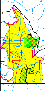
| USGS County | Saguache County |
| USGS Map Name | LIBERTY |
| USGS Map Scale | 24000 |
| Elevation and Depth Data |
|---|
| Ground Elevation (ft NAVD88) | 7689.75 |
| Elevation Data Source | Davis Engineering Survey |
| USGS Ground Elevation (ft NGVD29) | 7676.62 |
| HRS Dunes Well database (ft NGVD29) | 7676.62012 |
| 1/3-Arc Second NED Ground Elevation (ft NAVD88) | 7680.19 |
| 1-Arc Second NED Ground Elevation (ft NAVD88) | 7688.88 |
| SRTM Ground Elevation (ft NAVD88) | 7691.88 |
| Total Depth (ft) | 351.00 |
| Depth to Top of Screen (ft) | 331.0 |
| Depth to Bottom of Screen (ft) | 351.00 |
| USGS Hole Depth (ft) | 351.00 |
| USGS Well Depth (ft) | 351.00 |
| Model Layer | 2 |
| Model Layer Source | Well Depth |
| Depth of Bottom of Layer 1 | 253 |
| Depth of Bottom of Layer 2 | 643 |
| Depth of Bottom of Layer 3 | 1269 |
| Depth of Bottom of Layer 4 | 2510 |
| Additional Well Information | Construction |
| Aquifer Information |
|---|
| Aquifer Type | Confined |
| Aquifer Type Source | GRSA_AQUFR |
| USGS Aquifer Type | Confined Multiple Aquifers |
| USGS Hydrologic Unit | San Luis |
| USGS Data Available | Water-level (GW.LEV) |
| Water-level Database Information |
|---|
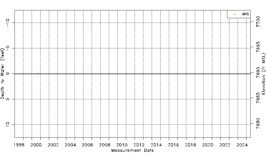
| Water-level Count | 1 |
| Water-level Date Range | 09/20/2000 thru 09/20/2000 |
| Monitored within the last 18 months | No, most recently on 09/20/2000 |
| Depth-to-Water Range (ft) | 0.00 to 0.00 |
| Water Table Elevation Range (ft NAVD88) | 7689.75 to 7689.75 |
| Water-Level-Source:Number-of-Measurements | HRS:1 |