| Well Information Table |
|---|
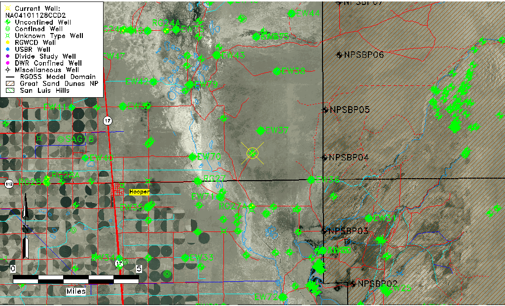
| Common Well ID | NA04101128CCD2 |
| USGS Well ID | 374600105464302 |
| GSDNP Well Name | 374600105464302 |
| USGS Station Name | NA04101128CCD2 |
| USGS Construction Date | 01/13/1978 |
| USGS Site Type | Well |
| USGS Site Use Information | Observation |
| USGS Groundwater Use Information | Unknown |
| Data Source(s) | USGS |
| Location Data |
|---|
| TRS | NA04101128CCD2 |
| USGS TRS 1 | NA04101128CCD2 |
| Longitude/Latitude (NAD83) | -105.77918520 , 37.76666630 |
| Longitude/Latitude Data Source | GWSI decimal LAT/LONG field |
| USGS Longitude/Latitude (NAD83) | -105.779185200 , 37.766666300 |
| Easting, Northing RGDSS-NAD83 (US ft) | 169633.75 , 280599.47 |
| USGS Topography | Valley flat |
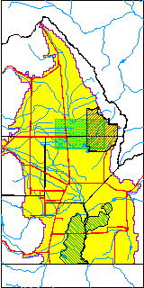
| USGS County | Saguache County |
| USGS Map Name | DEADMAN CAMP |
| USGS Map Scale | 24000 |
| Elevation and Depth Data |
|---|
| Ground Elevation (ft NAVD88) | 7550.31 |
| Elevation Data Source | USGS GWSI database |
| USGS Ground Elevation (ft NGVD29) | 7546.30 |
| 1/3-Arc Second NED Ground Elevation (ft NAVD88) | 7553.22 |
| 1-Arc Second NED Ground Elevation (ft NAVD88) | 7550.84 |
| SRTM Ground Elevation (ft NAVD88) | 7545.72 |
| Total Depth (ft) | 9.10 |
| USGS Hole Depth (ft) | 9.10 |
| USGS Well Depth (ft) | 9.10 |
| Model Layer | 1 |
| Model Layer Source | Well Depth |
| Depth of Bottom of Layer 1 | 113 |
| Depth of Bottom of Layer 2 | 353 |
| Depth of Bottom of Layer 3 | 1609 |
| Depth of Bottom of Layer 4 | 3125 |
| Additional Well Information | Construction |
| Aquifer Information |
|---|
| Aquifer Type | Unconfined |
| Aquifer Type Source | TD Elevation/Model Layer |
| USGS Hydrologic Unit | San Luis |
| USGS Data Available | Water-level (GW.LEV) |
| Water-level Database Information |
|---|
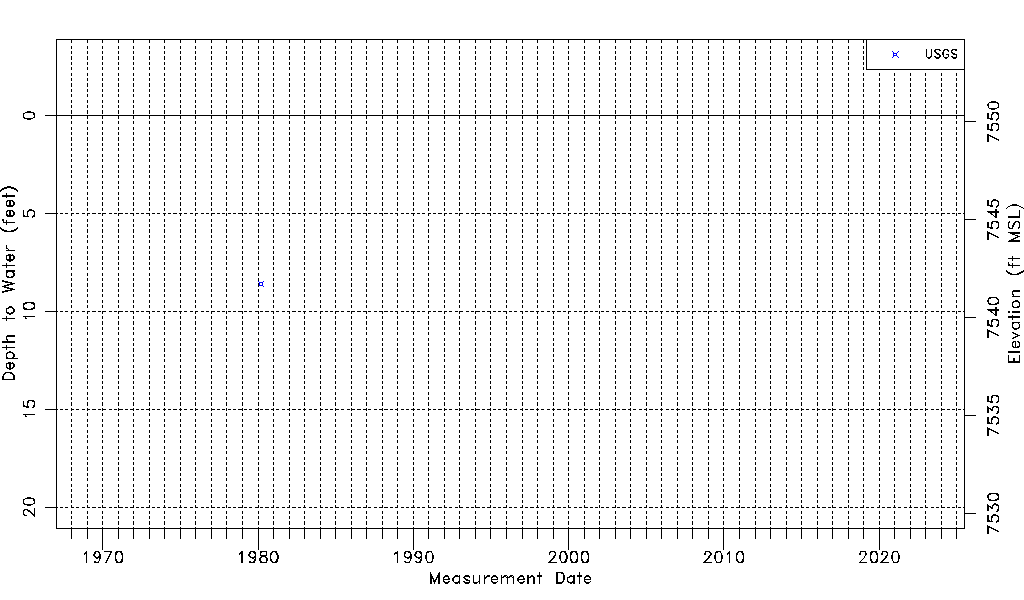
| Water-level Count | 1 |
| Water-level Date Range | 03/07/1980 thru 03/07/1980 |
| Monitored within the last 18 months | No, most recently on 03/07/1980 |
| Depth-to-Water Range (ft) | 8.59 to 8.59 |
| Water Table Elevation Range (ft NAVD88) | 7541.72 to 7541.72 |
| Water-Level-Source:Number-of-Measurements | USGS:1 |