| Well Information Table |
|---|
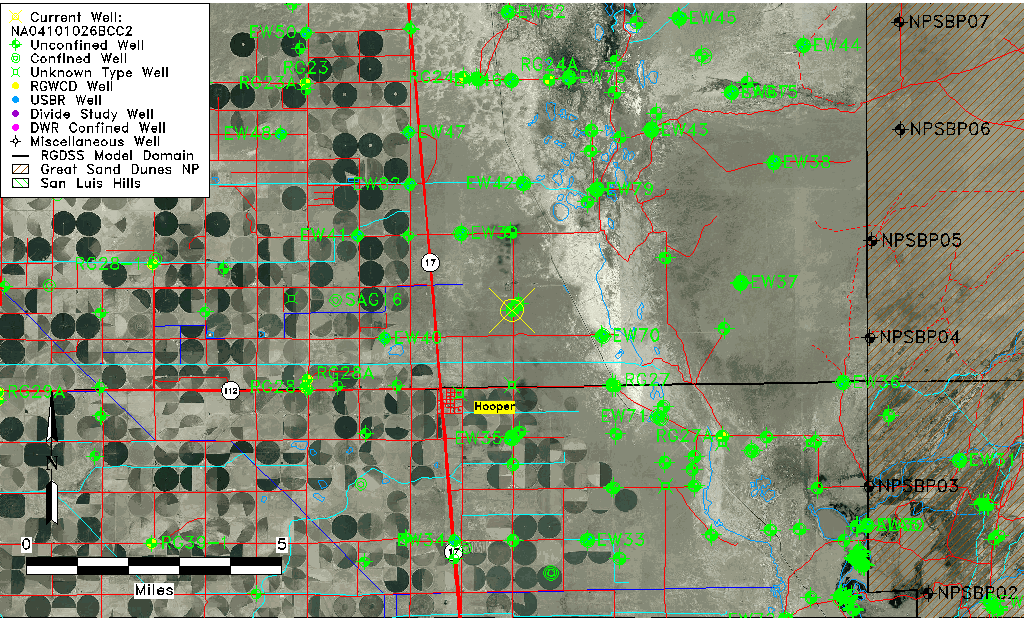
| Common Well ID | NA04101026BCC2 |
| USGS Well ID | 374618105511602 |
| GSDNP Well Name | 374618105511602 |
| USGS Station Name | NA04101026BCC2 |
| USGS Construction Date | 02/02/1978 |
| USGS Site Type | Well |
| USGS Site Use Information | Observation |
| USGS Groundwater Use Information | Unused |
| Data Source(s) | USGS |
| Location Data |
|---|
| TRS | NA04101026BCC2 |
| USGS TRS 1 | NA04101026BCC2 |
| Longitude/Latitude (NAD83) | -105.85502000 , 37.77166629 |
| Longitude/Latitude Data Source | GWSI decimal LAT/LONG field |
| USGS Longitude/Latitude (NAD83) | -105.855020000 , 37.771666290 |
| Easting, Northing RGDSS-NAD83 (US ft) | 147722.93 , 282454.92 |
| USGS Topography | Valley flat |
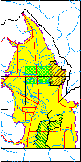
| USGS County | Saguache County |
| USGS Map Name | DEADMAN CAMP |
| USGS Map Scale | 24000 |
| Elevation and Depth Data |
|---|
| Ground Elevation (ft NAVD88) | 7544.56 |
| Elevation Data Source | USGS GWSI database |
| USGS Ground Elevation (ft NGVD29) | 7540.70 |
| 1/3-Arc Second NED Ground Elevation (ft NAVD88) | 7544.54 |
| 1-Arc Second NED Ground Elevation (ft NAVD88) | 7544.53 |
| SRTM Ground Elevation (ft NAVD88) | 7549.45 |
| Total Depth (ft) | 8.01 |
| USGS Hole Depth (ft) | 8.01 |
| USGS Well Depth (ft) | 8.01 |
| Model Layer | 1 |
| Model Layer Source | Well Depth |
| Depth of Bottom of Layer 1 | 106 |
| Depth of Bottom of Layer 2 | 257 |
| Depth of Bottom of Layer 3 | 1423 |
| Depth of Bottom of Layer 4 | 3013 |
| Additional Well Information | Construction |
| Aquifer Information |
|---|
| Aquifer Type | Unconfined |
| Aquifer Type Source | TD Elevation/Model Layer |
| USGS Hydrologic Unit | San Luis |
| USGS Data Available | Miscellaneous (GW.MISC) |
| Water-level Database Information |
|---|
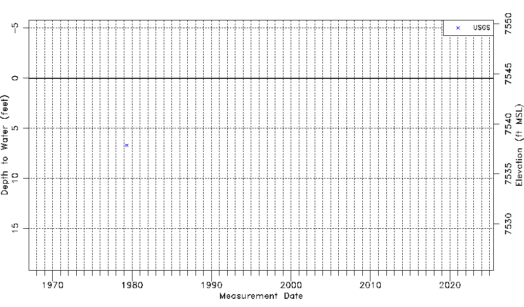
| Water-level Count | 1 |
| Water-level Date Range | 05/04/1979 thru 05/04/1979 |
| Monitored within the last 18 months | No, most recently on 05/04/1979 |
| Depth-to-Water Range (ft) | 6.69 to 6.69 |
| Water Table Elevation Range (ft NAVD88) | 7537.87 to 7537.87 |
| Water-Level-Source:Number-of-Measurements | USGS:1 |